
1951 Map of Gareloi Island
USGS Topo · Published 1952About this map
The Aleutian Islands are captured here during a 1951 reconnaissance, showing the remote volcanic terrain between the Bering Sea and Pacific Ocean. This survey highlights the stark geography of the Delarof Islands and the prominent Gareloi Island, dominated by the central peak of Mt Gareloi. Further east, the large expanse of Tanaga Island is anchored by the Tanaga Volcano and the deep indent of Tanaga Bay.
Find a feature on this map
30 named features on this map. Tap any name to fly to it.
Don’t see what you’re looking for? This feature index may not catch every label — zoom into the map to look around manually.
Map Details
Editions of this 1951 Gareloi Island Map
2 editions found
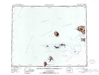
Other maps of this area

1951 · Adak
USGS Topo · 1:250,000

1954 · Adak
USGS Topo · 1:250,000

1954 · Gareloi Island
USGS Topo · 1:250,000

1957 · Adak
USGS Topo · 1:250,000

1967 · Adak
USGS Topo · 1:250,000

1983 · Adak
USGS Topo · 1:250,000
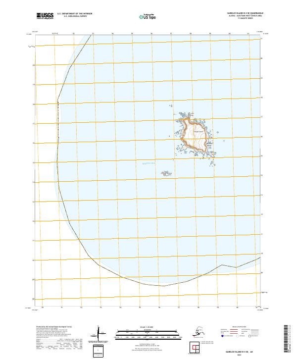
2021 · Gareloi Island B-4 SE
USGS Topo · 1:25,000
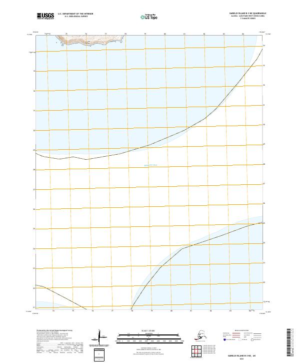
2021 · Gareloi Island B-3 NE
USGS Topo · 1:25,000
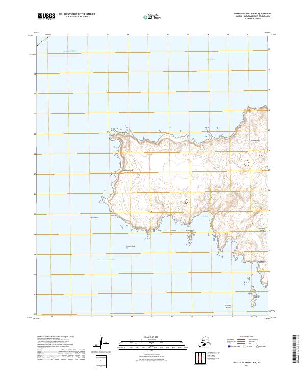
2021 · Gareloi Island B-1 NE
USGS Topo · 1:25,000
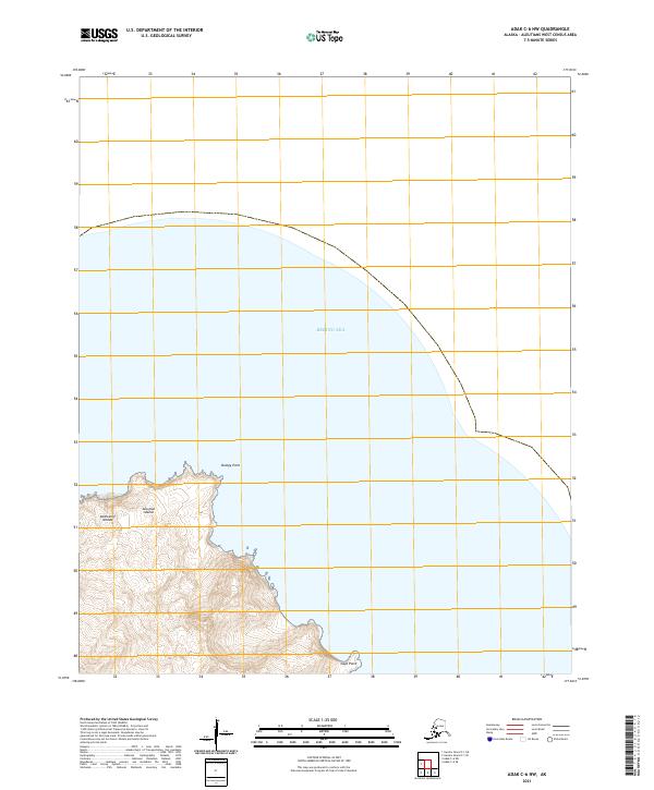
2021 · Adak C-6 NW
USGS Topo · 1:25,000