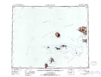
1951 Map of Gareloi Island
USGS Topo · Published 1952About this map
Gareloi Island and its solitary volcanic peak dominate the central waters of this 1951 reconnaissance, positioned between the Amchitka Pass and Tanaga Pass. The survey, based on aerial photography from 1941 and 1951, provides a clear view of the isolated Delarof Islands chain, including Oglauga Island, Skagul Island, and Kavalga Island. These small landmasses, scattered across the boundary of the Bering Sea and the Pacific Ocean, are primarily defined by their volcanic origins and navigational points like Dinkum Point and Knob Point.
Find a feature on this map
32 named features on this map. Tap any name to fly to it.
Don’t see what you’re looking for? This feature index may not catch every label — zoom into the map to look around manually.
Map Details
Editions of this 1951 Gareloi Island Map
2 editions found
Other maps of this area

1951 · Gareloi Island
USGS Topo · 1:250,000

1951 · Adak
USGS Topo · 1:250,000

1954 · Adak
USGS Topo · 1:250,000

1954 · Gareloi Island
USGS Topo · 1:250,000

1957 · Adak
USGS Topo · 1:250,000

1967 · Adak
USGS Topo · 1:250,000

1983 · Adak
USGS Topo · 1:250,000
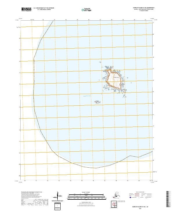
2021 · Gareloi Island B-4 SE
USGS Topo · 1:25,000
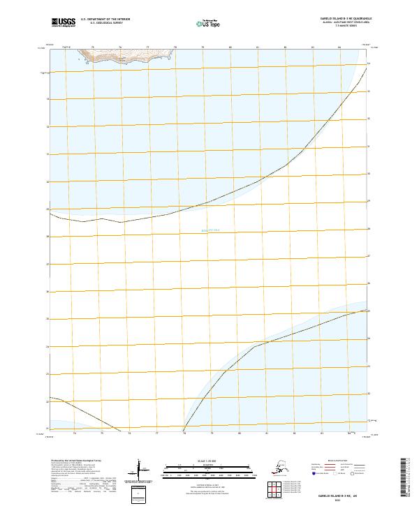
2021 · Gareloi Island B-3 NE
USGS Topo · 1:25,000
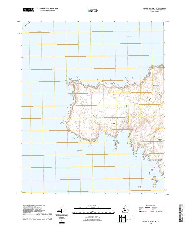
2021 · Gareloi Island B-1 NE
USGS Topo · 1:25,000