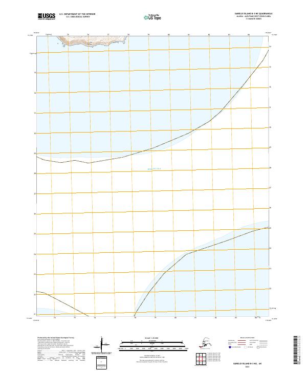
2021 Map of Gareloi Island B-3 NE
USGS Topo · Published 2021About this map
Gareloi Island anchors the northern edge of this maritime study, revealing the steep topographic contours of its southern volcanic slopes as they descend toward the water. This 2021 update from the U.S. Geological Survey covers a remote section of the Aleutian chain where the northern reaches of the Bering Sea dominate the landscape. The map serves as a technical record of the coastal bathymetry and the uninhabited, rugged terrain characteristic of the Aleutians West area, focused on the intersection of maritime boundaries and volcanic landforms. Without the presence of permanent settlements or roads, the survey highlights the natural isolation of the island and the precise township and range divisions such as t97s r212w and t97s r211w that define this Alaskan territory.
Find a feature on this map
6 named features on this map. Tap any name to fly to it.
Don’t see what you’re looking for? This feature index may not catch every label — zoom into the map to look around manually.
Map Details
Editions of this 2021 Gareloi Island B-3 NE Map
This is the sole edition of this map. No revisions or reprints were ever made.
Other maps of this area

1951 · Gareloi Island
USGS Topo · 1:250,000

1954 · Gareloi Island
USGS Topo · 1:250,000
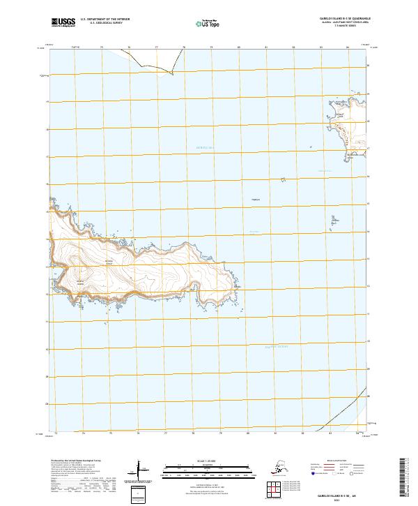
2021 · Gareloi Island B-3 SE
USGS Topo · 1:25,000
2021 · Gareloi Island B-2 NW
USGS Topo · 1:25,000
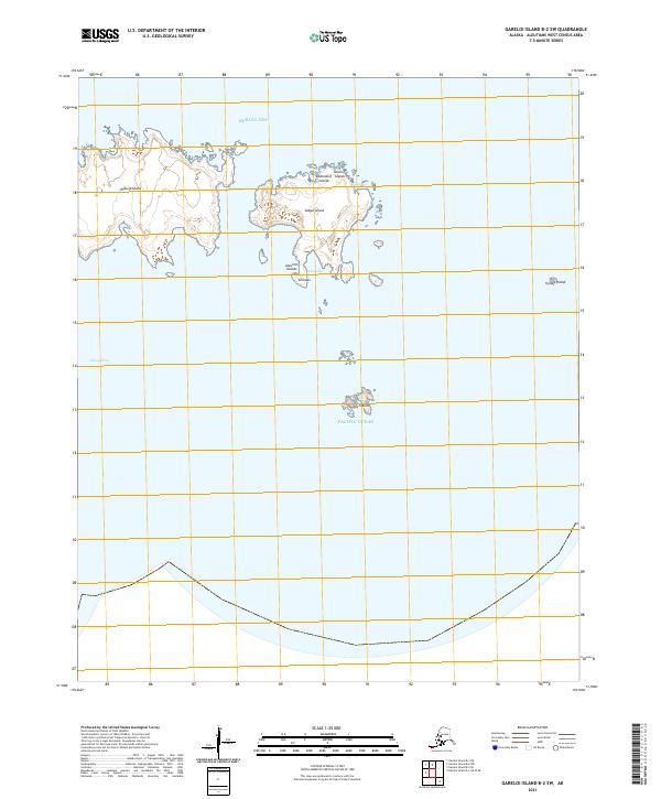
2021 · Gareloi Island B-2 SW
USGS Topo · 1:25,000
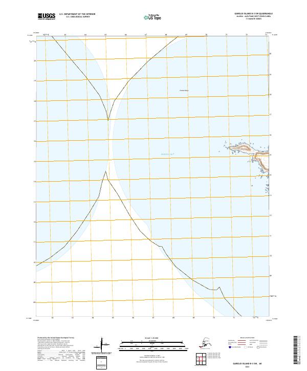
2021 · Gareloi Island B-3 SW
USGS Topo · 1:25,000
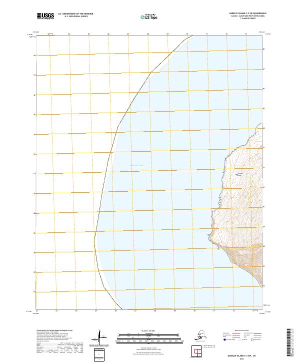
2021 · Gareloi Island C-3 SW
USGS Topo · 1:25,000
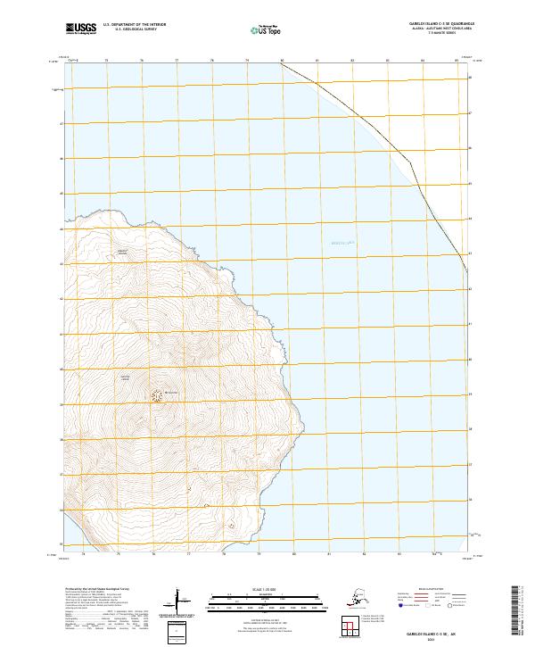
2021 · Gareloi Island C-3 SE
USGS Topo · 1:25,000