2021 Map of Gareloi Island C-3 SE
USGS Topo · Published 2021About this map
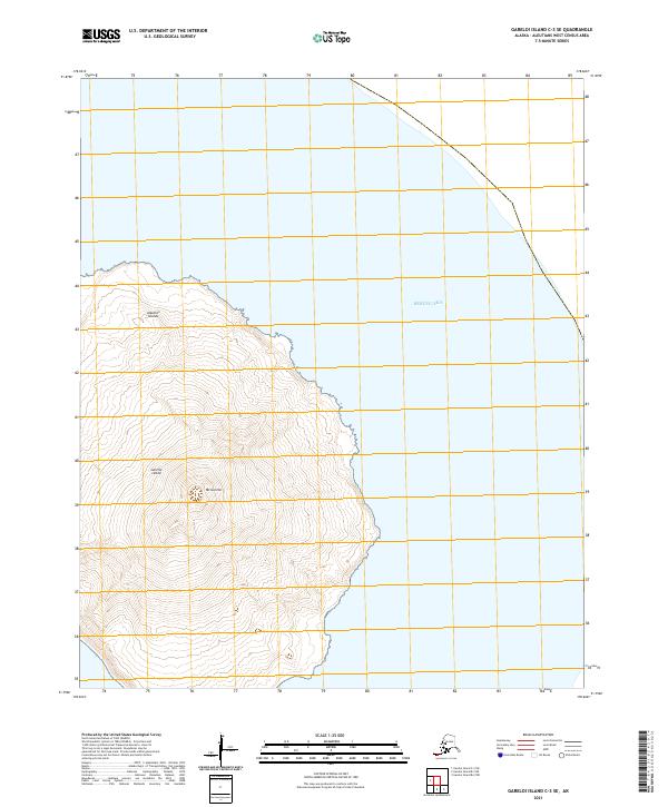
Mt Gareloi dominates the center of this volcanic terrain, its peak rising sharply from the rugged shores of Gareloi Island. Part of the sprawling Aleutian Islands chain, the island is surrounded by the deep waters of the Bering Sea, which occupies the entire eastern and northern portions of the quadrangle. The topography is defined by steep, concentric contour lines that trace the descent from the central volcanic summit down to the coastline. This 2021 study documents the uninhabited landscape in high detail, illustrating the isolation of this far-flung reach of the United States. With no roads or permanent structures, the map is a pure record of physical geography and maritime boundaries, including the township and range lines of t97s r212w, t97s r211w, and t96s r210w.
Find a feature on this map
7 named features on this map. Tap any name to fly to it.
Don’t see what you’re looking for? This feature index may not catch every label — zoom into the map to look around manually.
Map Details
Editions of this 2021 Gareloi Island C-3 SE Map
This is the sole edition of this map. No revisions or reprints were ever made.