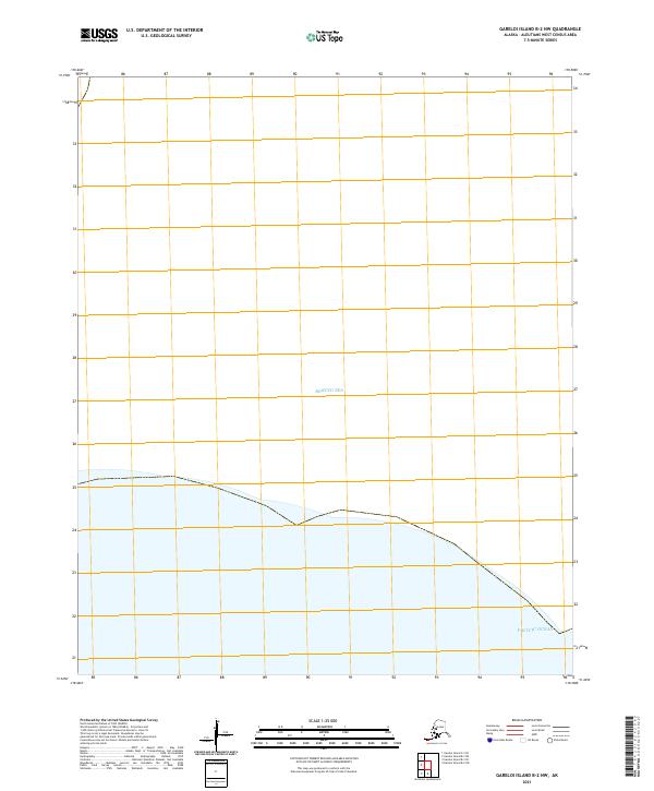
2021 Map of Gareloi Island B-2 NW
USGS Topo · Published 2021About this map
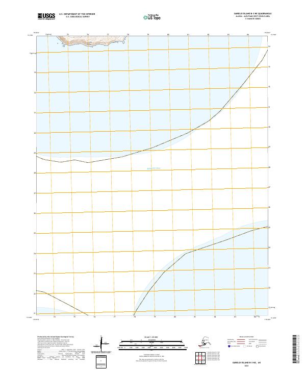
Bering Sea and Pacific Ocean waters meet within this maritime boundary survey in the Aleutian Islands. This specific quadrangle covers a predominantly aquatic expanse where the northern and southern oceanic regions converge. The map documents the precise maritime divisions of the t97s r211w, t99s r211w, and t99s r210w township and range lines, which are critical for maritime jurisdiction and navigation in this subarctic environment. While terrestrial features are absent, the map provides the definitive administrative and hydrographic framework for this portion of the Bering Sea at the start of the 2020s.
Find a feature on this map
5 named features on this map. Tap any name to fly to it.
Don’t see what you’re looking for? This feature index may not catch every label — zoom into the map to look around manually.
Map Details
Editions of this 2021 Gareloi Island B-2 NW Map
This is the sole edition of this map. No revisions or reprints were ever made.