2021 Map of Gareloi Island B-2 SW
USGS Topo · Published 2021About this map
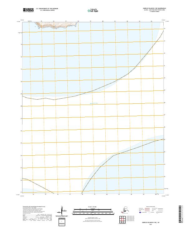
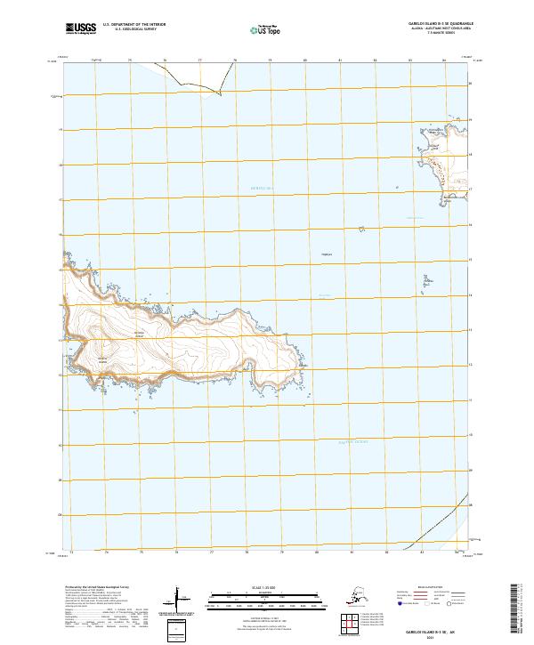
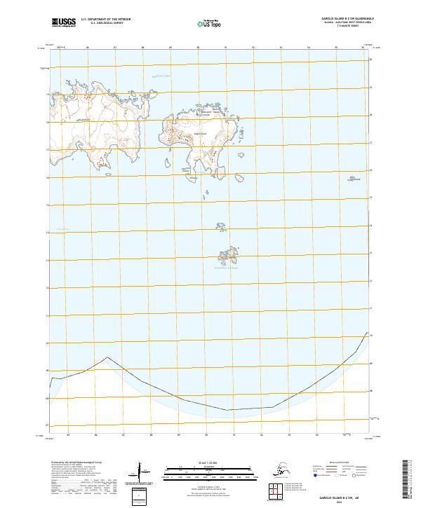
The remote volcanic landscape of the Delarof Islands appears here in high resolution, marking a critical transition point between the Bering Sea and the Pacific Ocean. This part of the Andreanof Islands group is defined by the separation of landmasses through narrow, turbulent maritime corridors. To the west, Ogliuga Island is separated from its neighbors by the deep Ogliuga Pass, while Skagul Island sits at the heart of the sheet, flanked by Skagul Pass. The topography reveals traditional indigenous place names and high-relief coastal features such as Kuugusix and Qaxsadax. Small, isolated outcrops like the Tag Islands and Ugidak Island emphasize the fragmented nature of this sub-arctic archipelago. This 2021 study provides a modern view of these uninhabited landforms, preserving the precise nomenclature and shorelines of the western Aleutian chain.
Find a feature on this map
17 named features on this map. Tap any name to fly to it.
Don’t see what you’re looking for? This feature index may not catch every label — zoom into the map to look around manually.
Map Details
Editions of this 2021 Gareloi Island B-2 SW Map
This is the sole edition of this map. No revisions or reprints were ever made.