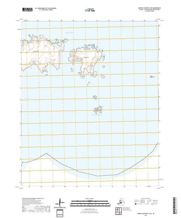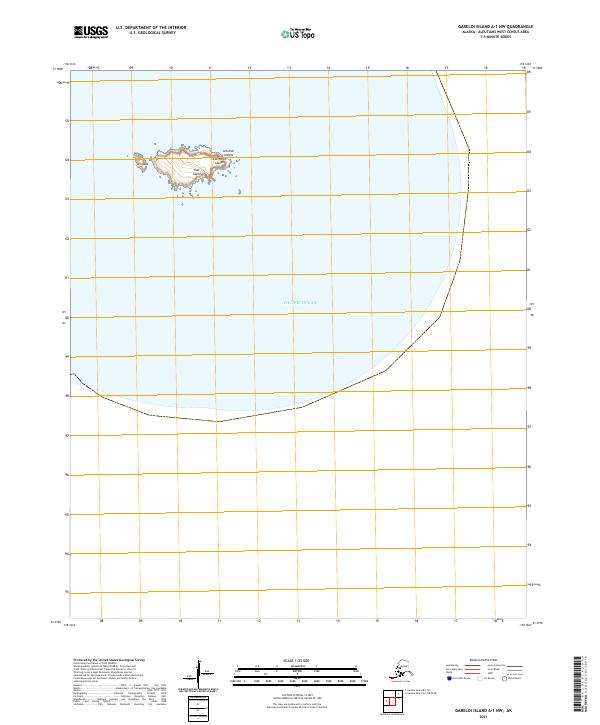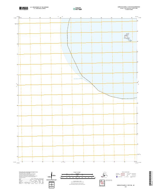
2021 Map of Gareloi Island A-1 OE W NE
USGS Topo · Published 2021About this map
The Pacific Ocean dominates this maritime survey, illustrating the extreme isolation of the western chain. Located within the Andreanof Islands of the Aleutian Islands, the map focuses on the waters surrounding the Gareloi Island vicinity. The most significant terrestrial feature recorded is Gramp Rock, a small landform situated at the eastern edge of the quadrangle. This 2021 study represents the contemporary navigational and topographical state of these remote northern waters, where township and range lines like t100s r208w and t100s r209w are projected across the open sea. The map serves as a primary reference for the bathymetry and maritime boundaries of the Aleutians West Census Area.
Find a feature on this map
6 named features on this map. Tap any name to fly to it.
Don’t see what you’re looking for? This feature index may not catch every label — zoom into the map to look around manually.
Map Details
Editions of this 2021 Gareloi Island A-1 OE W NE Map
This is the sole edition of this map. No revisions or reprints were ever made.