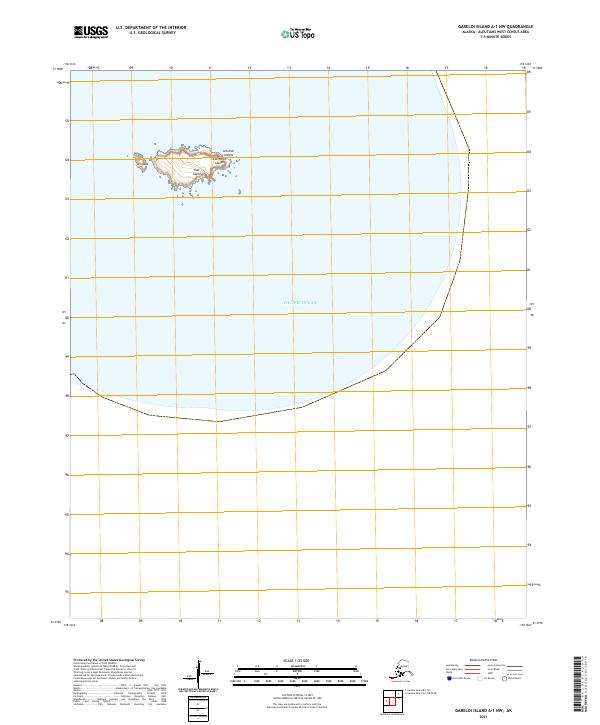
2021 Map of Gareloi Island A-1 NW
USGS Topo · Published 2021About this map
Ilak Island, a small but prominent landmass within the Andreanof Islands, serves as the primary land feature in this remote maritime survey. Located in the southwestern reaches of the Aleutian Islands, the island is surrounded by the vast waters of the Pacific Ocean, with the coastal point of Uchixsax marking its western edge. The map reflects modern topographic standards while documenting a landscape where isolation and geography are the defining characteristics. This 2021 edition focuses on the precise coastal boundaries and elevation data of the island, which is part of the larger Aleutian chain. The inclusion of the public land survey grid, including t100s r208w, provides a administrative framework for this otherwise uninhabited maritime environment.
Find a feature on this map
6 named features on this map. Tap any name to fly to it.
Don’t see what you’re looking for? This feature index may not catch every label — zoom into the map to look around manually.
Map Details
Editions of this 2021 Gareloi Island A-1 NW Map
This is the sole edition of this map. No revisions or reprints were ever made.