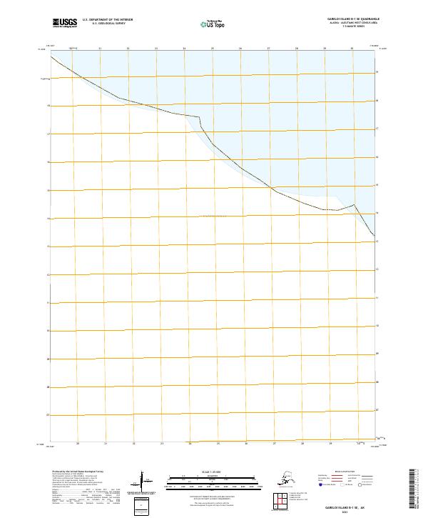
2021 Map of Gareloi Island B-1 SE
USGS Topo · Published 2021About this map
The Pacific Ocean dominates this maritime survey of the remote Aleutian archipelago. This specific area of the T99s R206w township covers a stretch of shoreline where the land meets the open sea, captured by the U.S. Geological Survey using imagery from the SPOT satellite system. The map highlights the intersection of high-latitude coastal geography and the Public Land Survey System grid in the Aleutians West Census Area. Without established roads or named settlements, the focus remains entirely on the precise boundary between the rugged Alaskan coast and the surrounding waters, providing a technical baseline for marine navigation and land management in one of the most isolated regions of the North Pacific.
Find a feature on this map
20 named features on this map. Tap any name to fly to it.
Don’t see what you’re looking for? This feature index may not catch every label — zoom into the map to look around manually.
Map Details
Editions of this 2021 Gareloi Island B-1 SE Map
This is the sole edition of this map. No revisions or reprints were ever made.
Other maps of this area

1951 · Gareloi Island
USGS Topo · 1:250,000

1951 · Adak
USGS Topo · 1:250,000

1954 · Adak
USGS Topo · 1:250,000

1954 · Gareloi Island
USGS Topo · 1:250,000

1957 · Adak
USGS Topo · 1:250,000

1967 · Adak
USGS Topo · 1:250,000

1983 · Adak
USGS Topo · 1:250,000
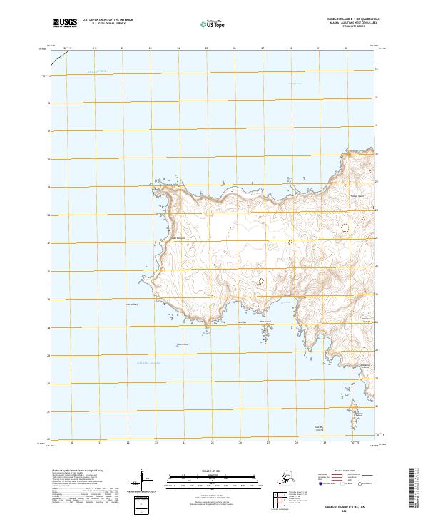
2021 · Gareloi Island B-1 NE
USGS Topo · 1:25,000
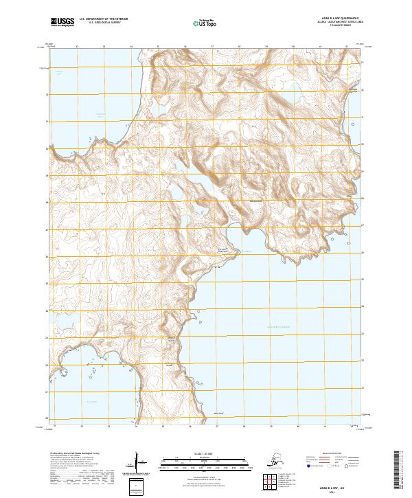
2021 · Adak B-6 NW
USGS Topo · 1:25,000
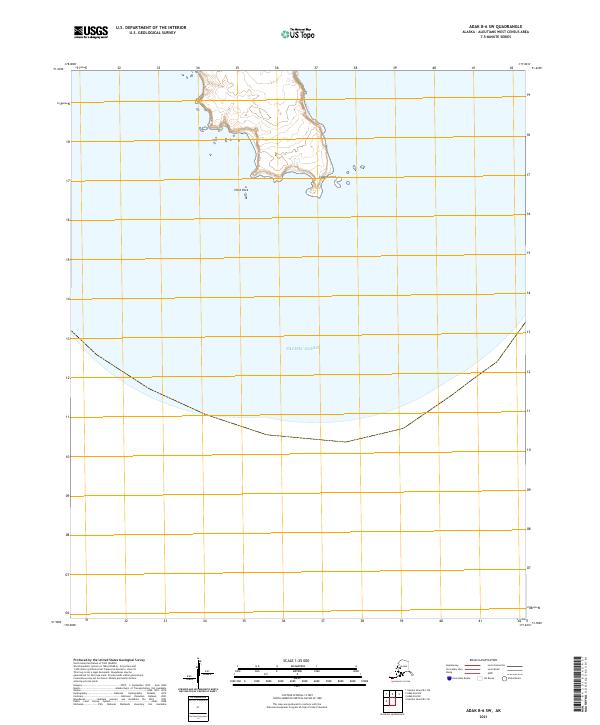
2021 · Adak B-6 SW
USGS Topo · 1:25,000