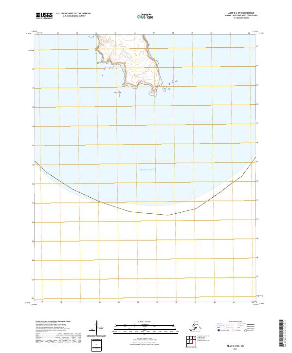
2021 Map of Adak B-6 SW
USGS Topo · Published 2021About this map
Cape Sasmik anchors the northeastern coastline of this remote Aleutian terrain, overlooking the vast Pacific Ocean. This 2021 survey reveals a stark and isolated landscape where land meets sea at the southwestern edge of the Adak B-6 area. Just offshore to the west lies Herd Rock, a solitary maritime landmark marking the approach to the northern coast. The map illustrates the sharp transition from the elevated interior topography down to the jagged shoreline, providing a clear record of coastal geomorphology and maritime hazards in a region defined by its exposure to the North Pacific. The lack of interior settlements or infrastructure underscores the wilderness character of this part of the Aleutians West Census Area.
Find a feature on this map
5 named features on this map. Tap any name to fly to it.
Don’t see what you’re looking for? This feature index may not catch every label — zoom into the map to look around manually.
Map Details
Editions of this 2021 Adak B-6 SW Map
This is the sole edition of this map. No revisions or reprints were ever made.
Other maps of this area

1951 · Gareloi Island
USGS Topo · 1:250,000

1951 · Adak
USGS Topo · 1:250,000

1954 · Adak
USGS Topo · 1:250,000

1954 · Gareloi Island
USGS Topo · 1:250,000

1957 · Adak
USGS Topo · 1:250,000

1967 · Adak
USGS Topo · 1:250,000

1983 · Adak
USGS Topo · 1:250,000
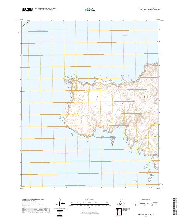
2021 · Gareloi Island B-1 NE
USGS Topo · 1:25,000
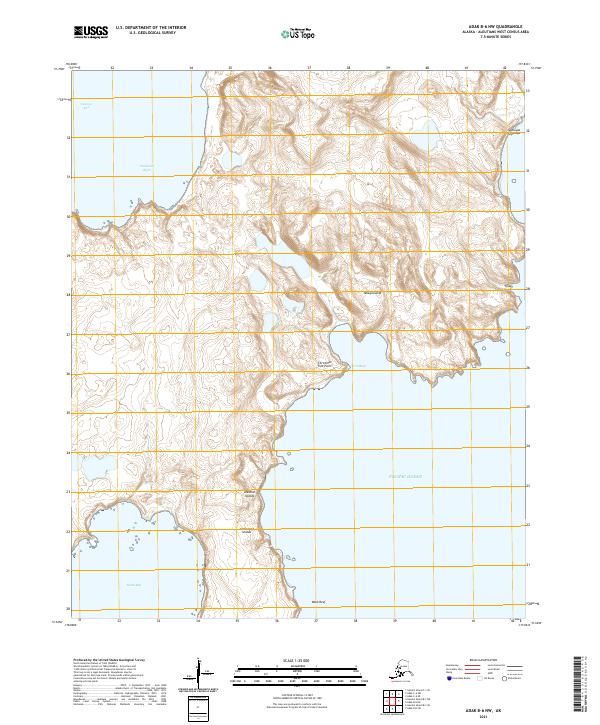
2021 · Adak B-6 NW
USGS Topo · 1:25,000
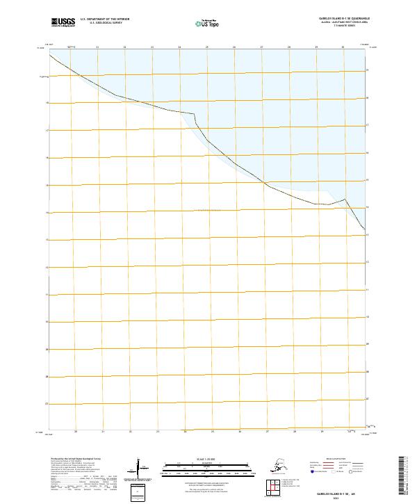
2021 · Gareloi Island B-1 SE
USGS Topo · 1:25,000