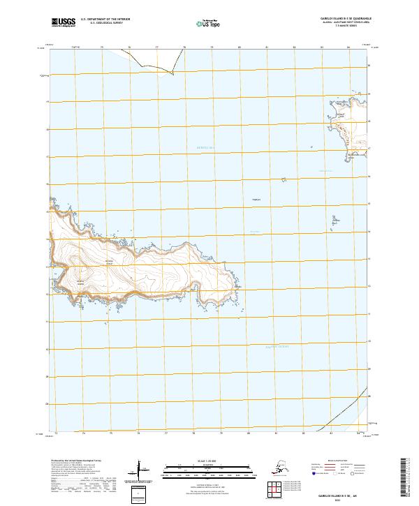
2021 Map of Gareloi Island B-3 SE
USGS Topo · Published 2021About this map
Kavalga Island and Ogliuga Island sit at the intersection of the Bering Sea and Pacific Ocean in this modern topographic survey of the Delarof Islands. The map provides detailed coastal and elevation data for these remote Aleutian landmasses, separated by the Sea Otter Pass. Notable landmarks such as Hiichaakam Yaaĝa and Buukuchum yaaĝa mark the irregular shoreline of Ogliuga Island, while smaller features like Qunsaĝix and Kaadax are documented along the rocky fringes of Kavalga Island. The survey also delineates Ogliuga Pass and identifies the specific township grids including t99s r212w and t100s r211w, capturing the precise geography of this maritime environment.
Find a feature on this map
17 named features on this map. Tap any name to fly to it.
Don’t see what you’re looking for? This feature index may not catch every label — zoom into the map to look around manually.
Map Details
Editions of this 2021 Gareloi Island B-3 SE Map
This is the sole edition of this map. No revisions or reprints were ever made.
Other maps of this area

1951 · Gareloi Island
USGS Topo · 1:250,000

1954 · Gareloi Island
USGS Topo · 1:250,000
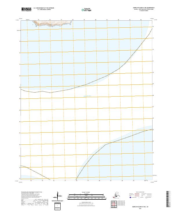
2021 · Gareloi Island B-3 NE
USGS Topo · 1:25,000
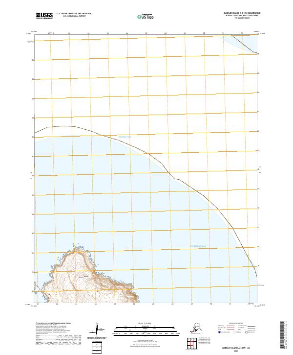
2021 · Gareloi Island A-3 NW
USGS Topo · 1:25,000
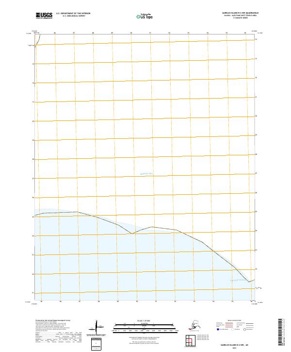
2021 · Gareloi Island B-2 NW
USGS Topo · 1:25,000
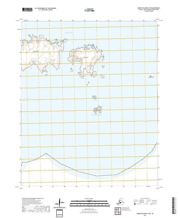
2021 · Gareloi Island B-2 SW
USGS Topo · 1:25,000
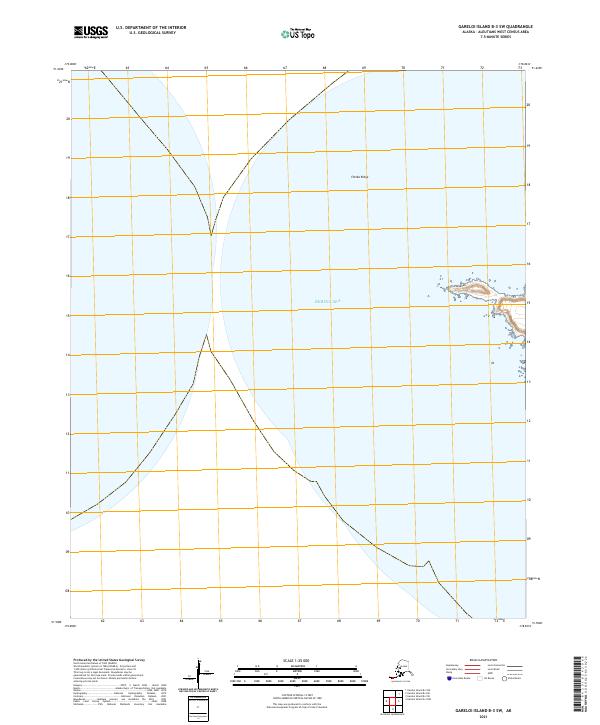
2021 · Gareloi Island B-3 SW
USGS Topo · 1:25,000