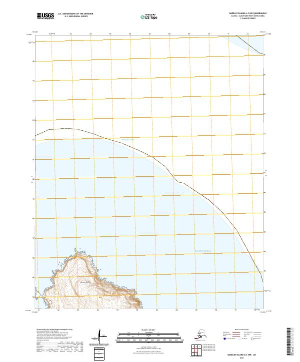
2021 Map of Gareloi Island A-3 NW
USGS Topo · Published 2021About this map
Delarof Islands emerge from the meeting point of two massive water bodies in this remote Aleutian maritime survey. The map captures a small, rugged landmass where the southern shoreline faces the Pacific Ocean and the northern reaches touch the Bering Sea. This transition zone is defined by dramatic coastal elevation changes and intricate island topography, typical of the volcanic archipelago. As part of a larger chain, this specific quadrant highlights the extreme isolation of these islands, which serve as critical maritime markers. The survey depicts the natural landforms without modern structures, emphasizing the raw, unpopulated state of these western Alaskan territories during the early 21st century.
Find a feature on this map
6 named features on this map. Tap any name to fly to it.
Don’t see what you’re looking for? This feature index may not catch every label — zoom into the map to look around manually.
Map Details
Editions of this 2021 Gareloi Island A-3 NW Map
This is the sole edition of this map. No revisions or reprints were ever made.
Other maps of this area

1951 · Gareloi Island
USGS Topo · 1:250,000

1954 · Gareloi Island
USGS Topo · 1:250,000
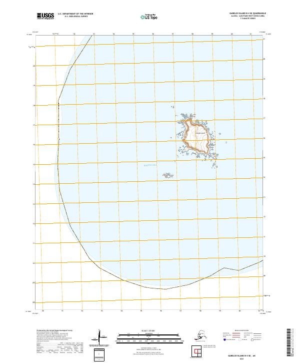
2021 · Gareloi Island B-4 SE
USGS Topo · 1:25,000
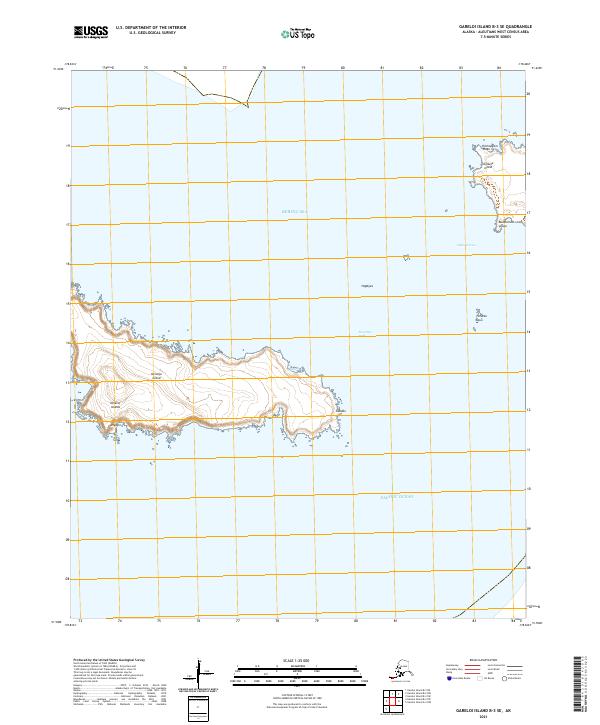
2021 · Gareloi Island B-3 SE
USGS Topo · 1:25,000
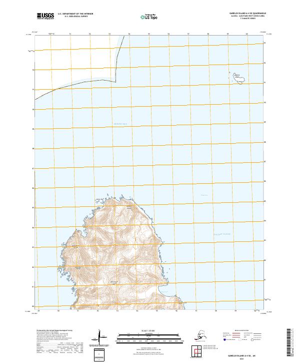
2021 · Gareloi Island A-4 SE
USGS Topo · 1:25,000
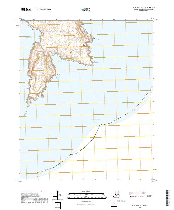
2021 · Gareloi Island A-3 SW
USGS Topo · 1:25,000
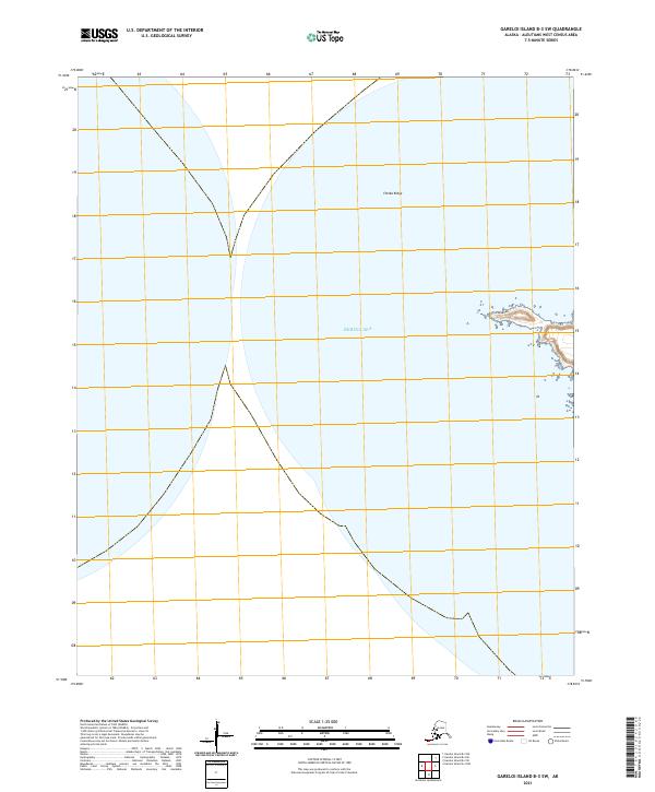
2021 · Gareloi Island B-3 SW
USGS Topo · 1:25,000