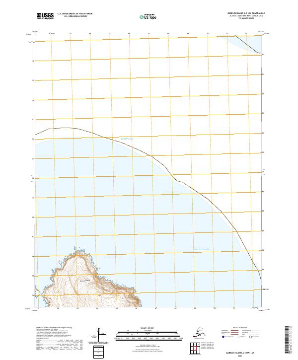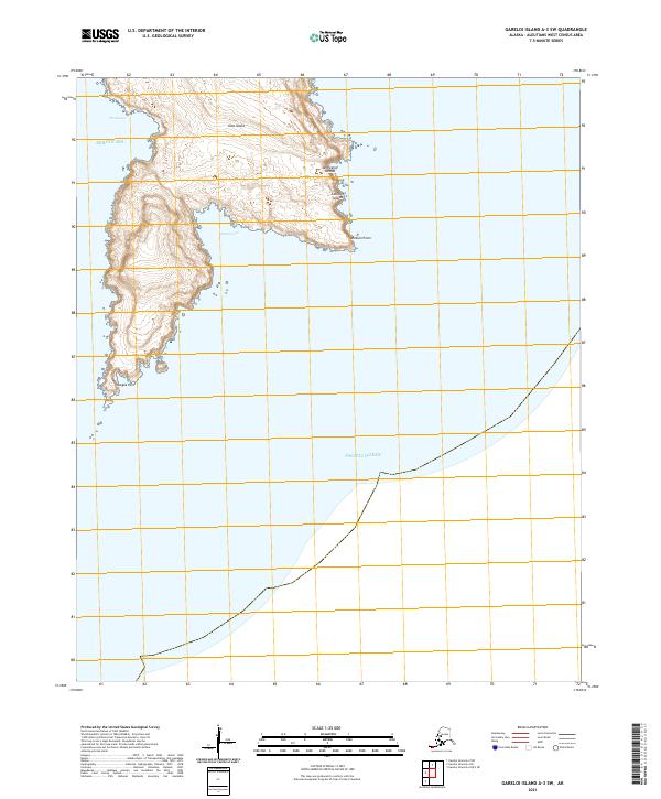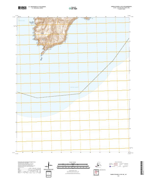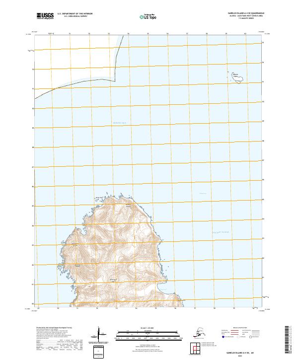
2021 Map of Gareloi Island A-4 SE
USGS Topo · Published 2021About this map
Amatignak Island dominates this maritime survey, marking a southern point within the Delarof Islands group of the Aleutian Islands. The landscape is defined by its steep coastal features, including the prominent Knob Point and the sheltered waters of Ulva Cove on the island's southern reach. This isolated landmass sits at a critical junction of the North Pacific, separated from northern neighbors by the deep waters of Ulak Pass. To the northeast, the small outlier of Tanadak Island and the hazard of Dome Rock emphasize the treacherous navigation typical of the Andreanof Islands chain. The map illustrates the boundary between the Bering Sea and the open Pacific Ocean, providing an exact record of shoreline and topography for one of the most remote territories in the United States.
Find a feature on this map
15 named features on this map. Tap any name to fly to it.
Don’t see what you’re looking for? This feature index may not catch every label — zoom into the map to look around manually.
Map Details
Editions of this 2021 Gareloi Island A-4 SE Map
This is the sole edition of this map. No revisions or reprints were ever made.