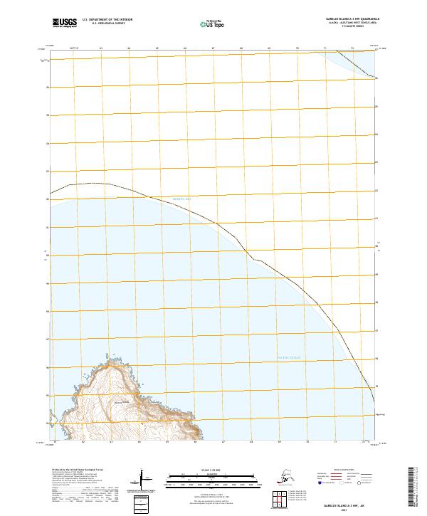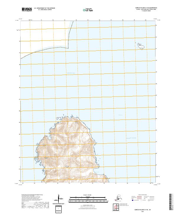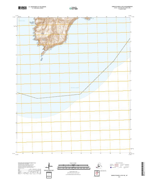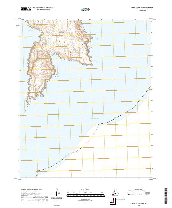
2021 Map of Gareloi Island A-3 SW
USGS Topo · Published 2021About this map
Ulak Island sits at the northern edge of this maritime survey, marking a significant piece of the Aleutian Islands chain within the Andreanof Islands group. The map illustrates the convergence of the Bering Sea to the north and the Pacific Ocean to the south, highlighting the isolation and environmental transition of this remote volcanic archipelago. The coastline is defined by sharp geographical markers such as Dinkum Point and Hasgox Point, which flank the southern reaches of the island. Between these points, the natural harbors of Patton Cove and Pratt Cove provide the only significant breaks in the steep coastal terrain. This 2021 topographic record emphasizes the uninhabited character of the region, focusing entirely on the landforms and maritime boundaries of the western Aleutians.
Find a feature on this map
12 named features on this map. Tap any name to fly to it.
Don’t see what you’re looking for? This feature index may not catch every label — zoom into the map to look around manually.
Map Details
Editions of this 2021 Gareloi Island A-3 SW Map
This is the sole edition of this map. No revisions or reprints were ever made.