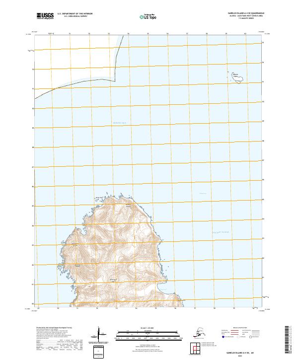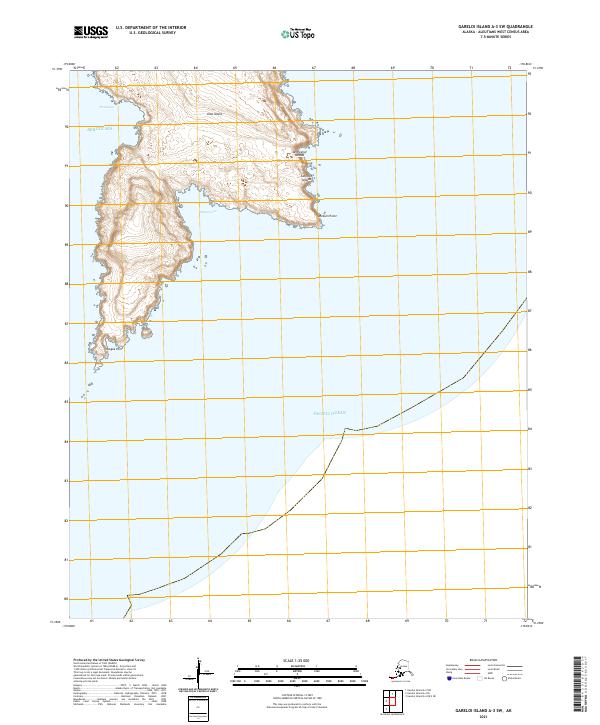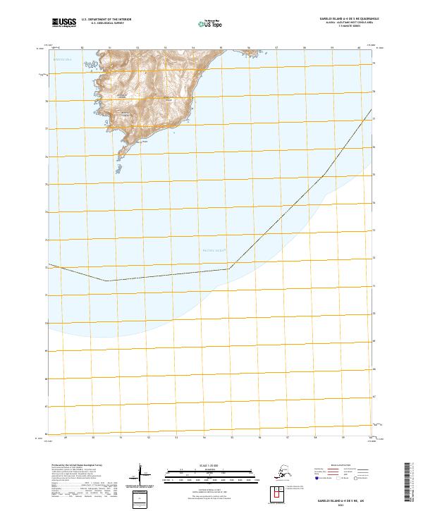
2021 Map of Gareloi Island A-4 OE S NE
USGS Topo · Published 2021About this map
Amatignak Island stands as the primary landmass in this southern portion of the Andreanof Islands, where the Bering Sea meets the Pacific Ocean. This remote island landscape, part of the greater Aleutian Islands chain, is defined by its dramatic coastline and isolation. Significant coastal features include the indentation of Chandris Cove on the western shore and the southern projection at Nitrof Point. The map provides a detailed view of the island's topography as it was documented in 2021, revealing the steep gradients and high points that characterize this maritime environment. Researchers studying the geological boundaries of the Aleutians can trace the Public Land Survey System lines, including t103s r216w and t103s r215w, which overlay this uninhabited terrain.
Find a feature on this map
9 named features on this map. Tap any name to fly to it.
Don’t see what you’re looking for? This feature index may not catch every label — zoom into the map to look around manually.
Map Details
Editions of this 2021 Gareloi Island A-4 OE S NE Map
This is the sole edition of this map. No revisions or reprints were ever made.