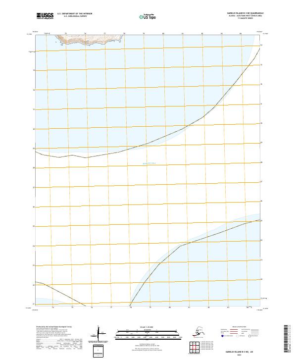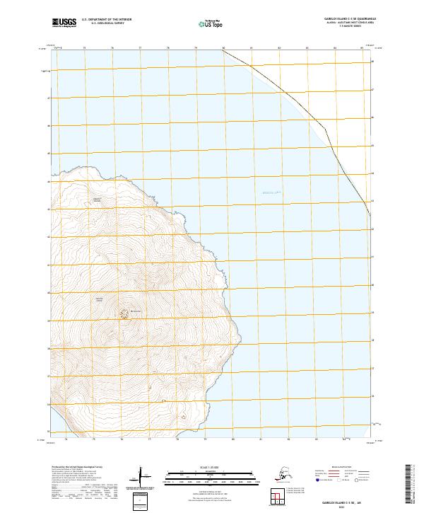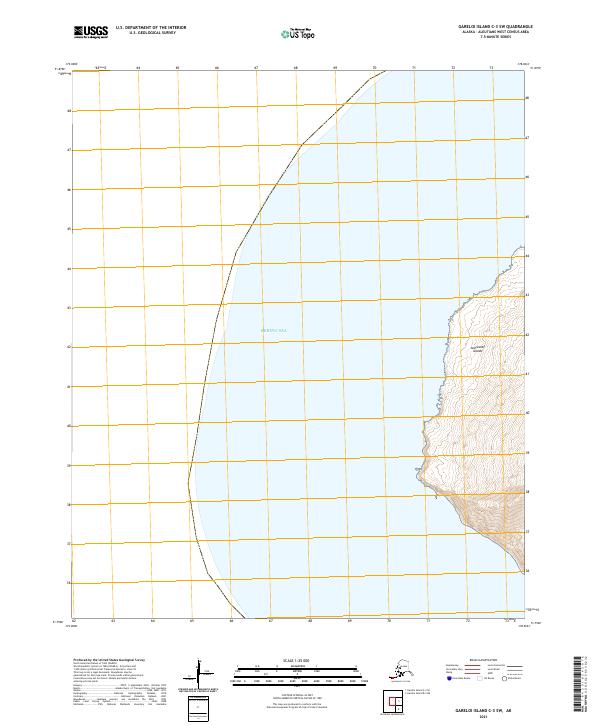
2021 Map of Gareloi Island C-3 SW
USGS Topo · Published 2021About this map
The Bering Sea dominates this corner of the Aleutian arc, framing the extreme western coast of the Andreanof Islands. This 2021 topographic sheet focuses on the intersection of maritime reaches and the volcanic landmass of the islands, characterized by steep elevation changes and intricate coastal contours. While most of the map area is open water, the terrestrial portion represents a remote segment of the Andreanof Islands chain, documented with modern precision by the U.S. Geological Survey. The cartography details the interaction between the North Pacific and the rugged shoreline, providing a foundational record of this Aleutians West landscape for researchers studying island geography or the maritime boundaries of the region.
Find a feature on this map
5 named features on this map. Tap any name to fly to it.
Don’t see what you’re looking for? This feature index may not catch every label — zoom into the map to look around manually.
Map Details
Editions of this 2021 Gareloi Island C-3 SW Map
This is the sole edition of this map. No revisions or reprints were ever made.