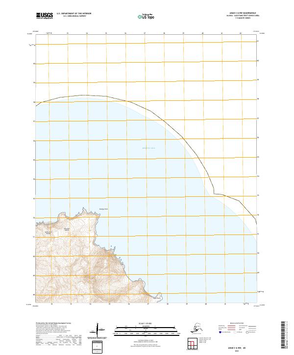
2021 Map of Adak C-6 NW
USGS Topo · Published 2021About this map
Bumpy Point and Gage Point define the northern and eastern reaches of this coastal survey in the Andreanof Islands group. Part of the broader Aleutian Islands chain, this remote section of Alaska fronts the Bering Sea, showing the dramatic elevation changes typical of these volcanic landmasses. The map uses a Public Land Survey System grid that includes t95s r204w and t96s r204w, providing precise coordinates for a landscape primarily shaped by natural topography rather than human settlement. The sharp contour lines trace steep coastal bluffs and ridges that drop directly into the sea, offering a detailed view of the shoreline as it existed in the early 2020s.
Find a feature on this map
8 named features on this map. Tap any name to fly to it.
Don’t see what you’re looking for? This feature index may not catch every label — zoom into the map to look around manually.
Map Details
Editions of this 2021 Adak C-6 NW Map
This is the sole edition of this map. No revisions or reprints were ever made.
Other maps of this area

1951 · Gareloi Island
USGS Topo · 1:250,000

1951 · Adak
USGS Topo · 1:250,000

1954 · Adak
USGS Topo · 1:250,000

1954 · Gareloi Island
USGS Topo · 1:250,000

1957 · Adak
USGS Topo · 1:250,000

1967 · Adak
USGS Topo · 1:250,000

1983 · Adak
USGS Topo · 1:250,000
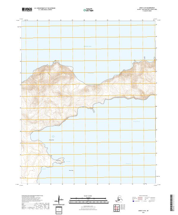
2021 · Adak C-6 SE
USGS Topo · 1:25,000
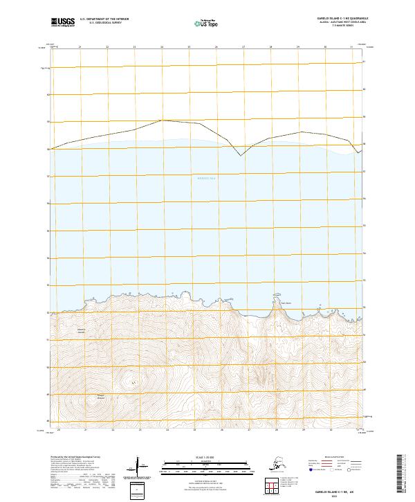
2021 · Gareloi Island C-1 NE
USGS Topo · 1:25,000
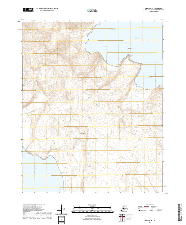
2021 · Adak C-6 SW
USGS Topo · 1:25,000