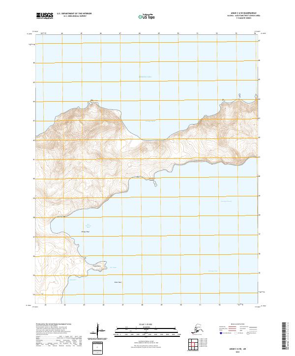
2021 Map of Adak C-6 SE
USGS Topo · Published 2021About this map
Hot Springs Bay and the surrounding coastal reaches of Kanaga Sound define this 2021 study of the Aleutian landscape. The area is characterized by dramatic marine transitions and maritime hazards, featuring prominent navigational landmarks such as Village Reef and Eider Reef. The topography suggests a complex relationship between the volcanic terrain and the sea, evidenced by the sheltered waters of Portage Bight and the narrow passage known as The Ditch. While no modern settlements are recorded on this specific sheet, the inclusion of Barabara Island hints at the regional history of indigenous earth-sheltered dwellings. The map further documents significant coastal points like Point Aries and Trunk Point, providing a detailed look at the island's perimeter where it meets the Bering Sea.
Find a feature on this map
16 named features on this map. Tap any name to fly to it.
Don’t see what you’re looking for? This feature index may not catch every label — zoom into the map to look around manually.
Map Details
Editions of this 2021 Adak C-6 SE Map
This is the sole edition of this map. No revisions or reprints were ever made.
Other maps of this area

1951 · Adak
USGS Topo · 1:250,000

1954 · Adak
USGS Topo · 1:250,000

1957 · Adak
USGS Topo · 1:250,000

1967 · Adak
USGS Topo · 1:250,000

1983 · Adak
USGS Topo · 1:250,000
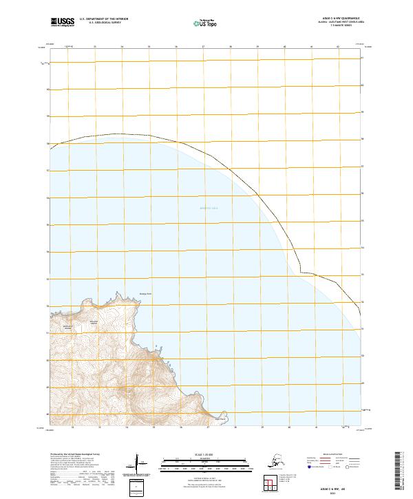
2021 · Adak C-6 NW
USGS Topo · 1:25,000
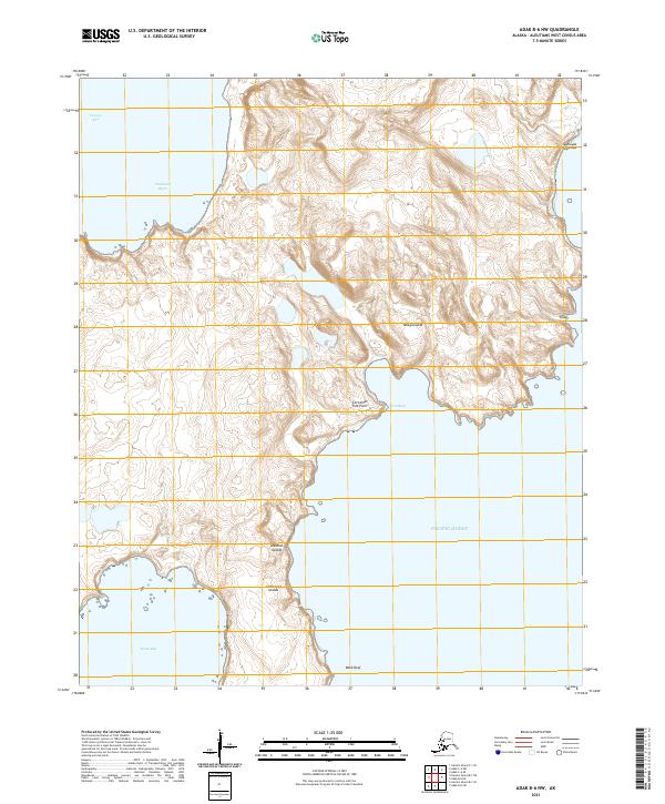
2021 · Adak B-6 NW
USGS Topo · 1:25,000
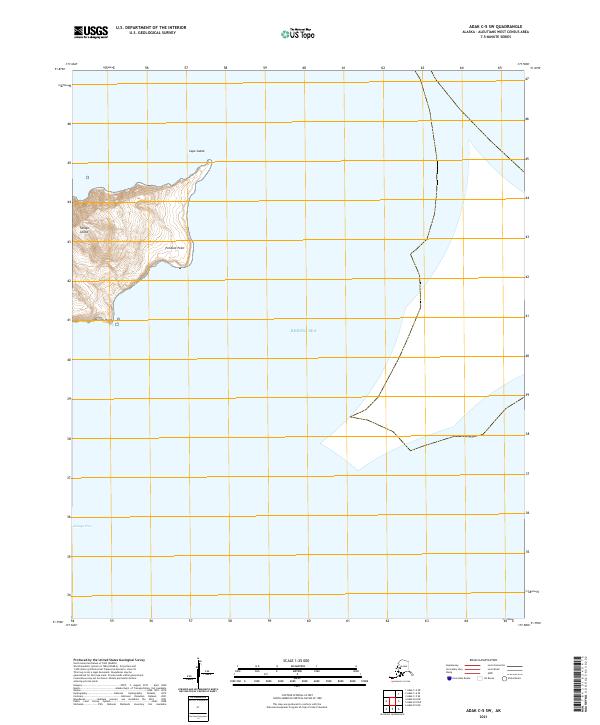
2021 · Adak C-5 SW
USGS Topo · 1:25,000
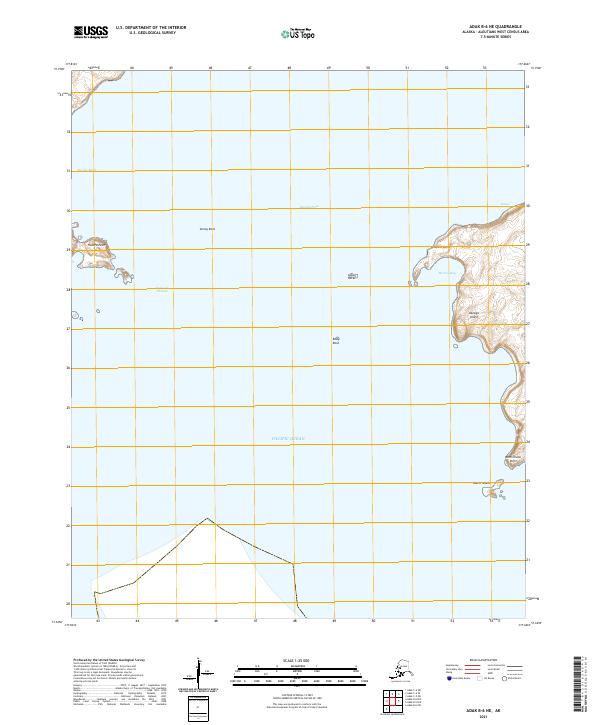
2021 · Adak B-6 NE
USGS Topo · 1:25,000
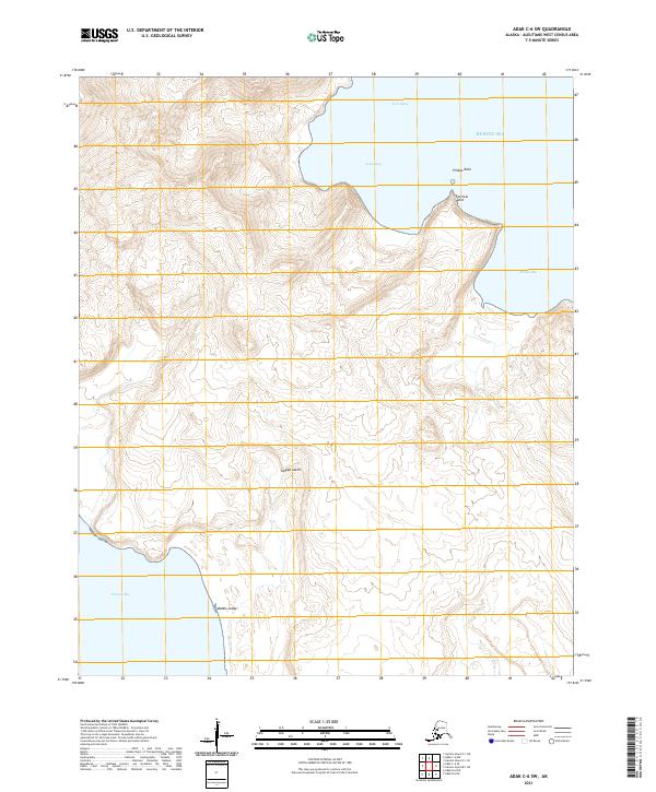
2021 · Adak C-6 SW
USGS Topo · 1:25,000