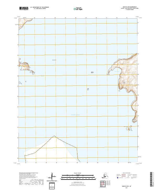
2021 Map of Adak B-6 NE
USGS Topo · Published 2021About this map
Kanaga Island and its surrounding maritime hazards dominate this survey of the western Aleutians. The topography reveals a jagged coastline where Western Point and West Chunu Point reach into the north Pacific Ocean, framing the sheltered waters of Monroe Bay. Navigation through these subarctic waters is defined by numerous offshore dangers such as Annoy Rock, Goose Rocks, and Eddy Rock, emphasizing the isolation and challenging environment of the archipelago. Between the island landmasses, Kanaga Pass and Explorer Passage provide narrow corridors for maritime transit. The map's detail shows a landscape largely shaped by coastal processes, with Eureka Bight cutting into the western shore near Hazard Point, offering a clear view of the island's perimeter as it existed in the early 21st century.
Find a feature on this map
19 named features on this map. Tap any name to fly to it.
Don’t see what you’re looking for? This feature index may not catch every label — zoom into the map to look around manually.
Map Details
Editions of this 2021 Adak B-6 NE Map
This is the sole edition of this map. No revisions or reprints were ever made.
Other maps of this area

1951 · Adak
USGS Topo · 1:250,000

1954 · Adak
USGS Topo · 1:250,000

1957 · Adak
USGS Topo · 1:250,000

1967 · Adak
USGS Topo · 1:250,000

1983 · Adak
USGS Topo · 1:250,000
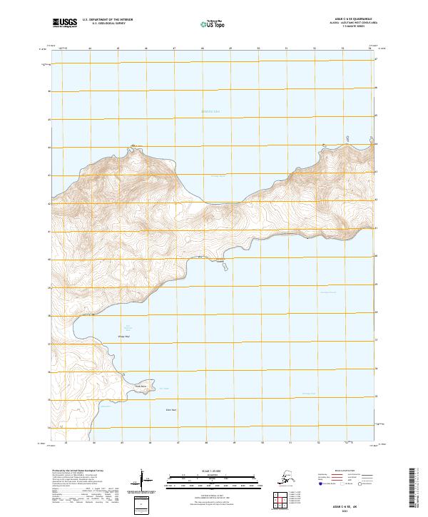
2021 · Adak C-6 SE
USGS Topo · 1:25,000
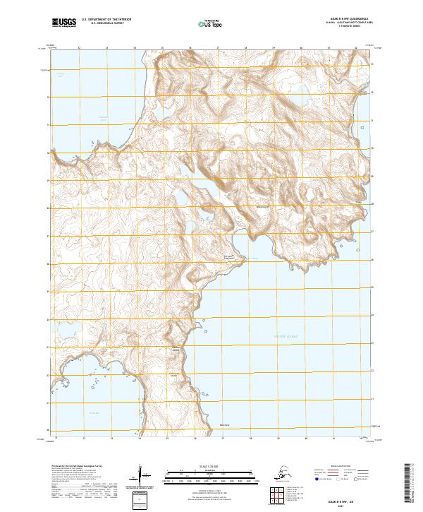
2021 · Adak B-6 NW
USGS Topo · 1:25,000
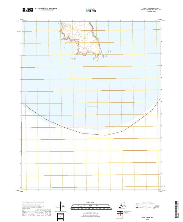
2021 · Adak B-6 SW
USGS Topo · 1:25,000
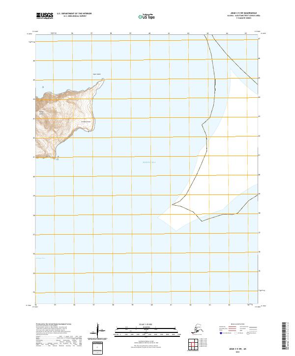
2021 · Adak C-5 SW
USGS Topo · 1:25,000
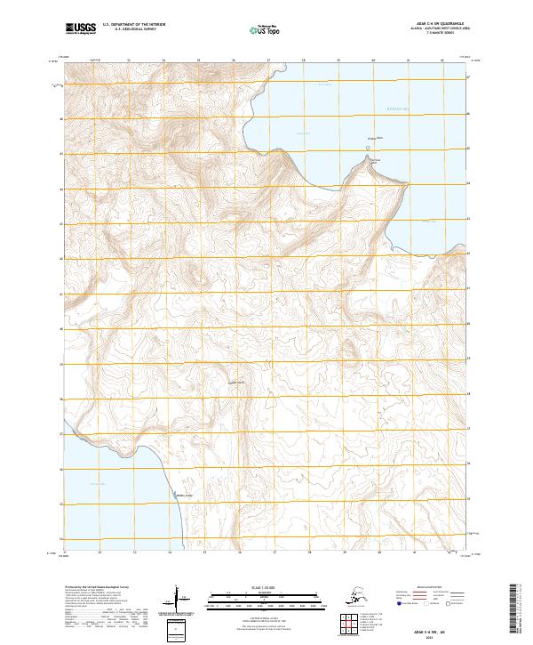
2021 · Adak C-6 SW
USGS Topo · 1:25,000