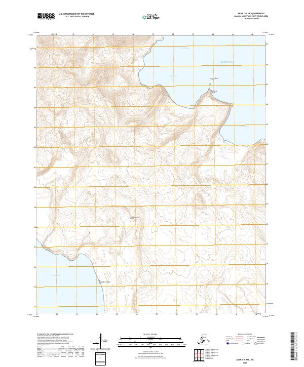
2021 Map of Adak C-6 SW
USGS Topo · Published 2021About this map
Tanaga Island occupies this portion of the western Aleutian chain, defined by a series of prominent coastal features along the northern and southern shorelines. The landform is characterized by sharp topographic rises from the Bering Sea, leading to inland elevations that reach over 2,000 feet. The northern coast is punctuated by the protective reach of Fortress Point and the isolated formation of Pillbox Rock, which together frame the entrances to Gusty Bay and Twin Bays.
Find a feature on this map
13 named features on this map. Tap any name to fly to it.
Don’t see what you’re looking for? This feature index may not catch every label — zoom into the map to look around manually.
Map Details
Editions of this 2021 Adak C-6 SW Map
This is the sole edition of this map. No revisions or reprints were ever made.
Other maps of this area

1951 · Gareloi Island
USGS Topo · 1:250,000

1951 · Adak
USGS Topo · 1:250,000

1954 · Adak
USGS Topo · 1:250,000

1954 · Gareloi Island
USGS Topo · 1:250,000

1957 · Adak
USGS Topo · 1:250,000

1967 · Adak
USGS Topo · 1:250,000

1983 · Adak
USGS Topo · 1:250,000
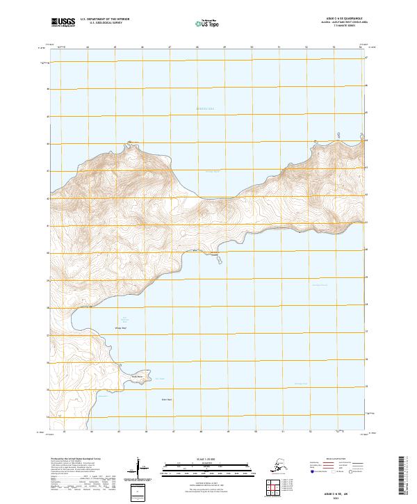
2021 · Adak C-6 SE
USGS Topo · 1:25,000
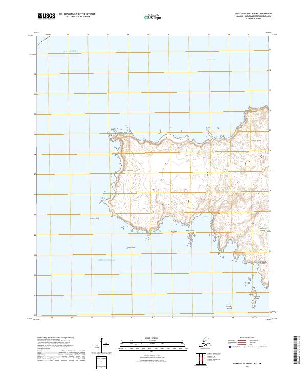
2021 · Gareloi Island B-1 NE
USGS Topo · 1:25,000
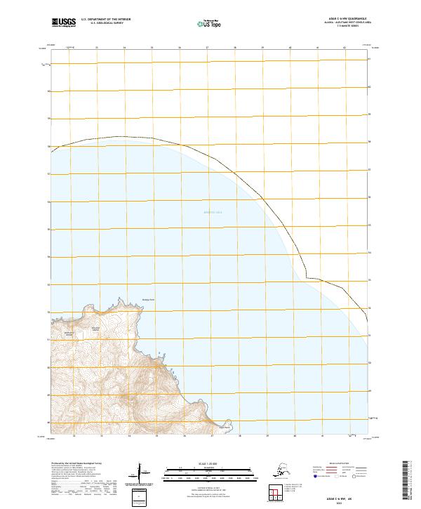
2021 · Adak C-6 NW
USGS Topo · 1:25,000