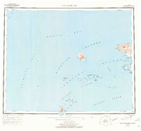
1954 Map of Gareloi Island
USGS Topo · Published 1977About this map
Mt Gareloi towers over the central portion of this 1950s survey, representing one of the many volcanic peaks that define the western Aleutian Islands. The chart reveals a maritime landscape where the Bering Sea meets the North Pacific Ocean through treacherous channels like Amchitka Pass and Tanaga Pass. Sparse human presence is indicated by isolated Cabins on Tanaga Island and a lone Cabin near Cape Amagalik, likely used by hunters or researchers within the Aleutian Islands National Wildlife Refuge. The map details the intricate coastlines of the Delarof Islands, including Ulak Island and the southernmost point at Amatignak Island. Distinctive nautical hazards such as Dinkum Rocks and Inferno Reef are charted alongside topographic landmarks like Tanaga Volcano and Figure Eight Lake.
Find a feature on this map
49 named features on this map. Tap any name to fly to it.
Don’t see what you’re looking for? This feature index may not catch every label — zoom into the map to look around manually.
Map Details
Editions of this 1954 Gareloi Island Map
5 editions found
Other maps of this area

1951 · Gareloi Island
USGS Topo · 1:250,000

1951 · Adak
USGS Topo · 1:250,000

1954 · Adak
USGS Topo · 1:250,000

1954 · Gareloi Island
USGS Topo · 1:250,000

1957 · Adak
USGS Topo · 1:250,000

1967 · Adak
USGS Topo · 1:250,000

1983 · Adak
USGS Topo · 1:250,000
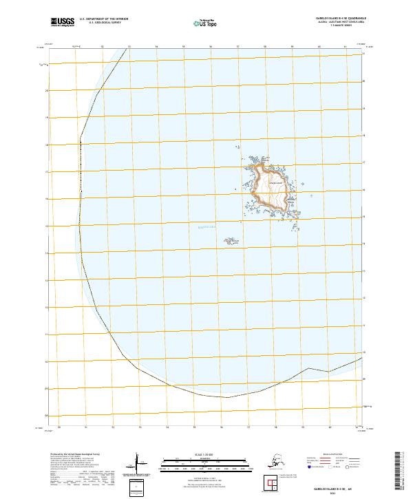
2021 · Gareloi Island B-4 SE
USGS Topo · 1:25,000
2021 · Gareloi Island B-3 NE
USGS Topo · 1:25,000
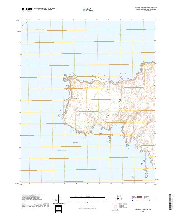
2021 · Gareloi Island B-1 NE
USGS Topo · 1:25,000