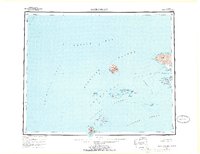
1954 Map of Gareloi Island
USGS Topo · Published 1970About this map
Mt Gareloi dominates the volcanic landscape of the central Aleutians in this survey compiled from mid-century Army Map Service data. The island group, which includes the Delarof Islands and the Andreanof Islands, is mapped here within the Entire Land Area Is Within The Aleutian Islands National Wildlife Refuge. The map reveals the sparse human infrastructure of the era, such as a Landing Area on Ogliuga I and scattered Cabins on Tanaga Island. Marine navigation remains the focus, with soundings and submarine features like Petrel Bank and Inferno Reef defining the waters where the Bering Sea meets the Pacific Ocean. To the east, the massive Tanaga Volcano towers over Cape Sajaka, marking the western edge of the larger island masses in this part of the chain.
Find a feature on this map
54 named features on this map. Tap any name to fly to it.
Don’t see what you’re looking for? This feature index may not catch every label — zoom into the map to look around manually.
Map Details
Editions of this 1954 Gareloi Island Map
5 editions found
Other maps of this area

1951 · Gareloi Island
USGS Topo · 1:250,000

1951 · Adak
USGS Topo · 1:250,000

1954 · Adak
USGS Topo · 1:250,000

1954 · Gareloi Island
USGS Topo · 1:250,000

1957 · Adak
USGS Topo · 1:250,000

1967 · Adak
USGS Topo · 1:250,000

1983 · Adak
USGS Topo · 1:250,000
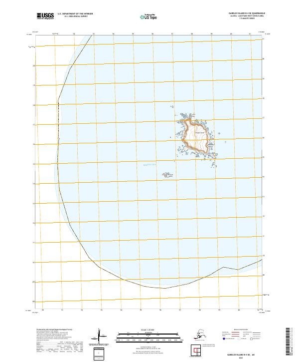
2021 · Gareloi Island B-4 SE
USGS Topo · 1:25,000
2021 · Gareloi Island B-3 NE
USGS Topo · 1:25,000
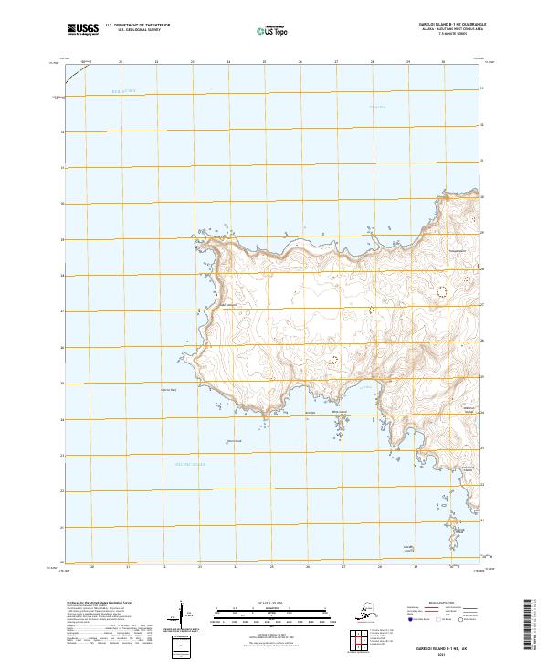
2021 · Gareloi Island B-1 NE
USGS Topo · 1:25,000