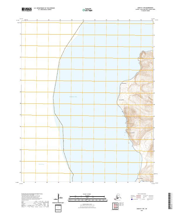
2021 Map of Adak D-1 SW
USGS Topo · Published 2021About this map
Bering Sea and the northern reaches of Sitkin Sound dominate this maritime survey of the Aleutian landscape. The map focuses on the western coastline of a remote island landmass, defined by prominent geographical landmarks such as Saddle Point in the north and Cape Kiugilak at the southern edge. The interior topography is marked by named summits and ridges including Kyuugaadax and Uugangax, rising sharply from the shoreline. This modern survey, produced by the U.S. Geological Survey, illustrates the interplay between the deep waters of the North Pacific and the high-relief terrain of the Aleutian chain. The lack of infrastructure or settlements on this sheet highlights the isolated nature of the terrain, where coastal features like Cape Akuyan serve as the primary points of reference for navigation and geographical study.
Find a feature on this map
11 named features on this map. Tap any name to fly to it.
Don’t see what you’re looking for? This feature index may not catch every label — zoom into the map to look around manually.
Map Details
Editions of this 2021 Adak D-1 SW Map
This is the sole edition of this map. No revisions or reprints were ever made.
Other maps of this area

1951 · Adak
USGS Topo · 1:250,000

1954 · Adak
USGS Topo · 1:250,000

1957 · Adak
USGS Topo · 1:250,000

1967 · Adak
USGS Topo · 1:250,000

1983 · Adak
USGS Topo · 1:250,000
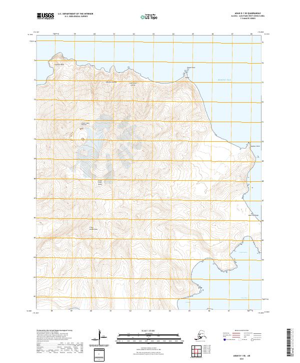
2021 · Adak D-1 SE
USGS Topo · 1:25,000
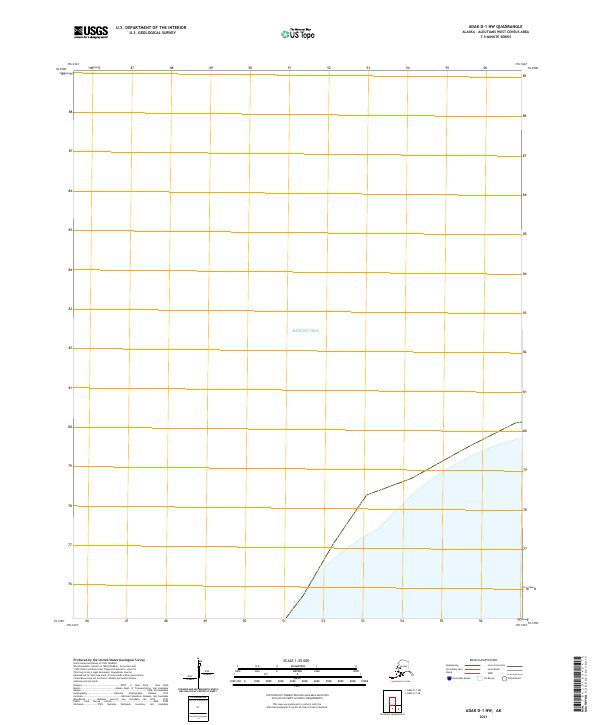
2021 · Adak D-1 NW
USGS Topo · 1:25,000
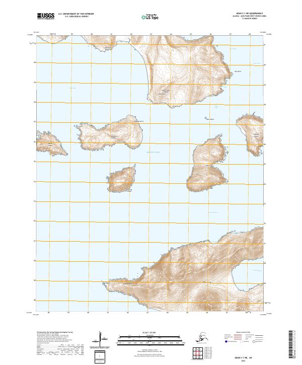
2021 · Adak C-1 NE
USGS Topo · 1:25,000
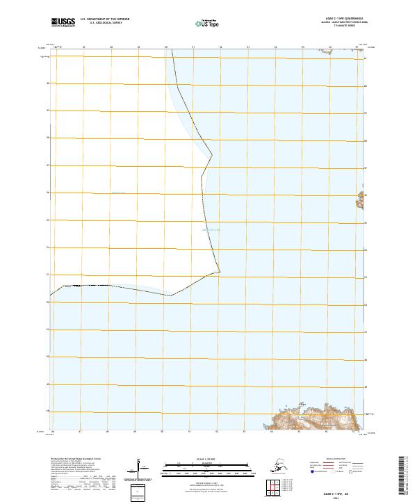
2021 · Adak C-1 NW
USGS Topo · 1:25,000