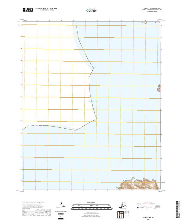
2021 Map of Adak C-1 NW
USGS Topo · Published 2021About this map
Bering Sea waters dominate this remote marine landscape in the Aleutian Islands chain, where the transition between deep water and rugged coastline is meticulously charted. Along the southern edge of the sheet, the rocky terrestrial terrain of the islands emerges, featuring named high points such as Atangax and Luís Fatúu. These landmarks serve as critical navigational markers for mariners traversing the surrounding waters of Sitkin Sound and the broader sea. The mapping of Cape Lises provides a precise view of the coastal interface in this seismically active region, reflecting the 2021 topographic state of these volcanic landmasses. The grid boundaries across the sheet illustrate the vast scale of the maritime territory managed within the Aleutians West Census Area.
Find a feature on this map
12 named features on this map. Tap any name to fly to it.
Don’t see what you’re looking for? This feature index may not catch every label — zoom into the map to look around manually.
Map Details
Editions of this 2021 Adak C-1 NW Map
This is the sole edition of this map. No revisions or reprints were ever made.
Other maps of this area

1951 · Adak
USGS Topo · 1:250,000

1954 · Adak
USGS Topo · 1:250,000

1957 · Adak
USGS Topo · 1:250,000

1967 · Adak
USGS Topo · 1:250,000

1983 · Adak
USGS Topo · 1:250,000
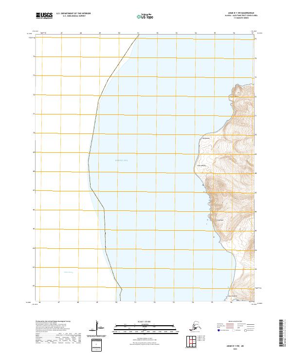
2021 · Adak D-1 SW
USGS Topo · 1:25,000
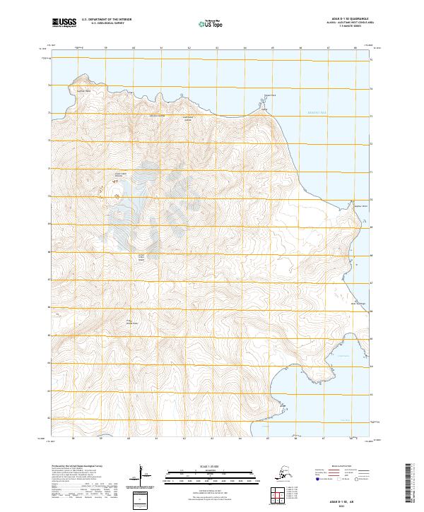
2021 · Adak D-1 SE
USGS Topo · 1:25,000
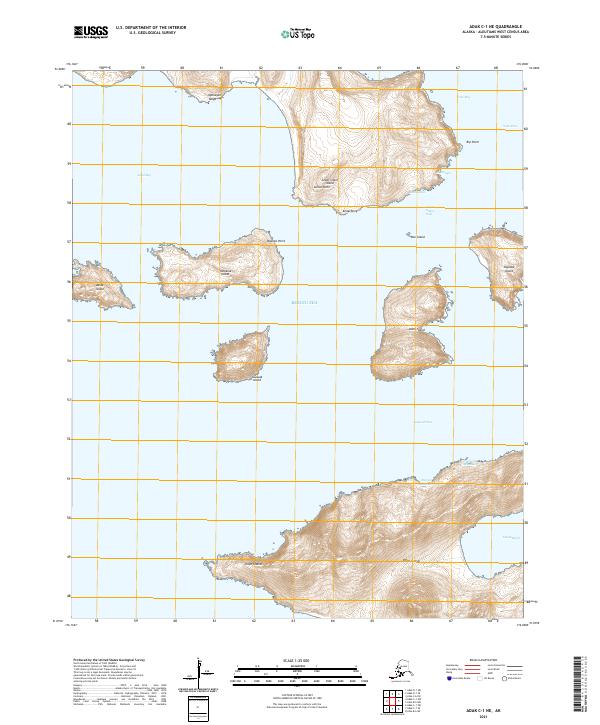
2021 · Adak C-1 NE
USGS Topo · 1:25,000
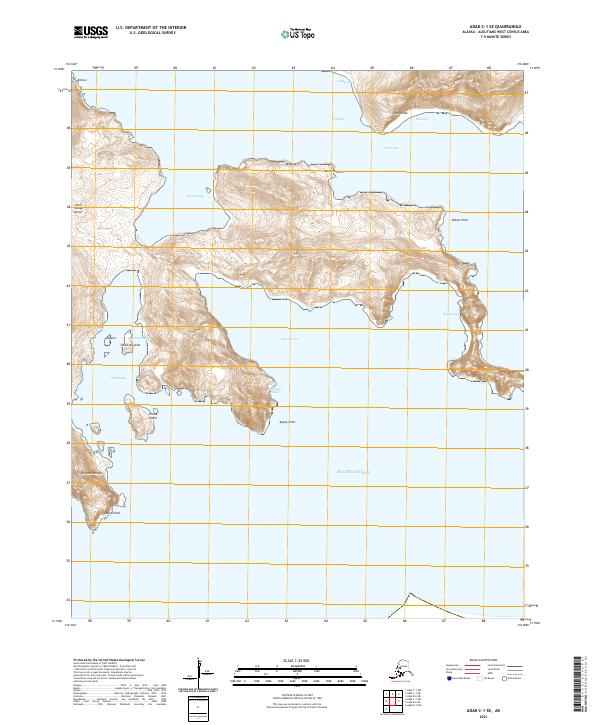
2021 · Adak C-1 SE
USGS Topo · 1:25,000
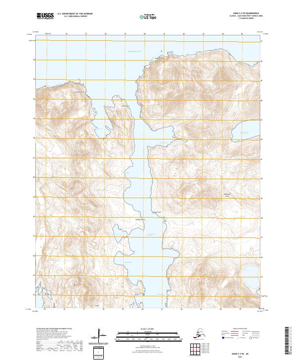
2021 · Adak C-2 SE
USGS Topo · 1:25,000