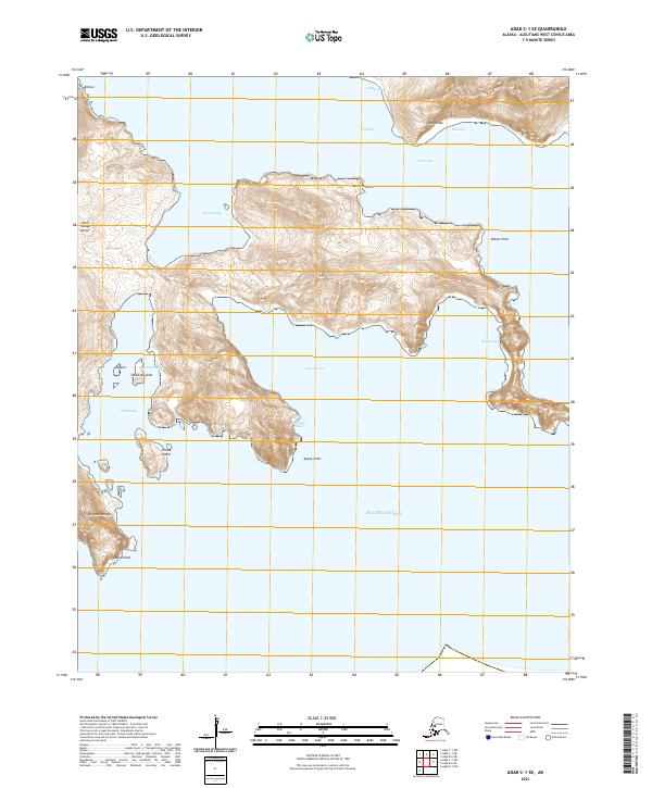
2021 Map of Adak C-1 SE
USGS Topo · Published 2021About this map
Little Tanaga Island and its surrounding Aleutian waters are detailed in this modern survey, highlighting the complex coastline of the Alaska archipelago. The map reveals the relationship between the island's steep coastal topography and the deep waters of Scripps Bay and Azamis Cove. Named features like Cape Umak and Cape Chisak serve as critical navigation points for mariners traversing Umak Pass, where the Pacific tides meet the island chains. The presence of indigenous place names such as Aankuugix, Tanagam Amaga, and Ayamaxchizulix provides a linguistic record of the area's cultural history alongside more modern nautical designations like Narrows Point and Elbow Point. This topographic record provides a precise look at the landforms on the uninhabited shores of Chisak Island and the southwestern reaches of the island group.
Find a feature on this map
26 named features on this map. Tap any name to fly to it.
Don’t see what you’re looking for? This feature index may not catch every label — zoom into the map to look around manually.
Map Details
Editions of this 2021 Adak C-1 SE Map
This is the sole edition of this map. No revisions or reprints were ever made.
Other maps of this area

1951 · Adak
USGS Topo · 1:250,000

1952 · Atka
USGS Topo · 1:250,000

1954 · Adak
USGS Topo · 1:250,000

1957 · Adak
USGS Topo · 1:250,000

1959 · Atka
USGS Topo · 1:250,000

1967 · Adak
USGS Topo · 1:250,000

1983 · Adak
USGS Topo · 1:250,000
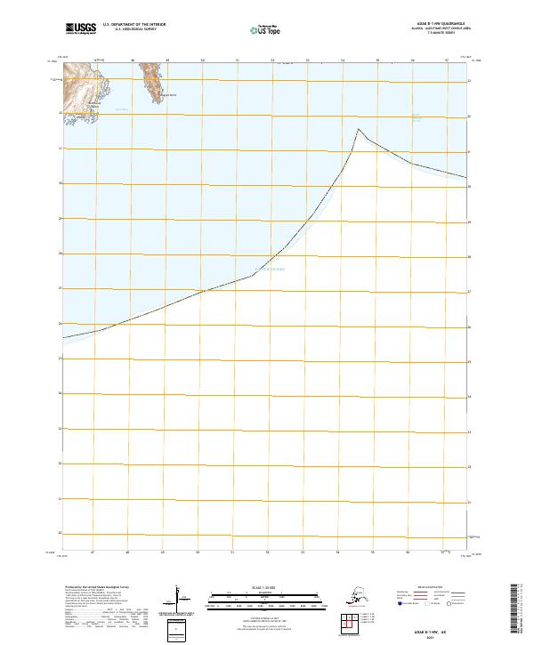
2021 · Adak B-1 NW
USGS Topo · 1:25,000
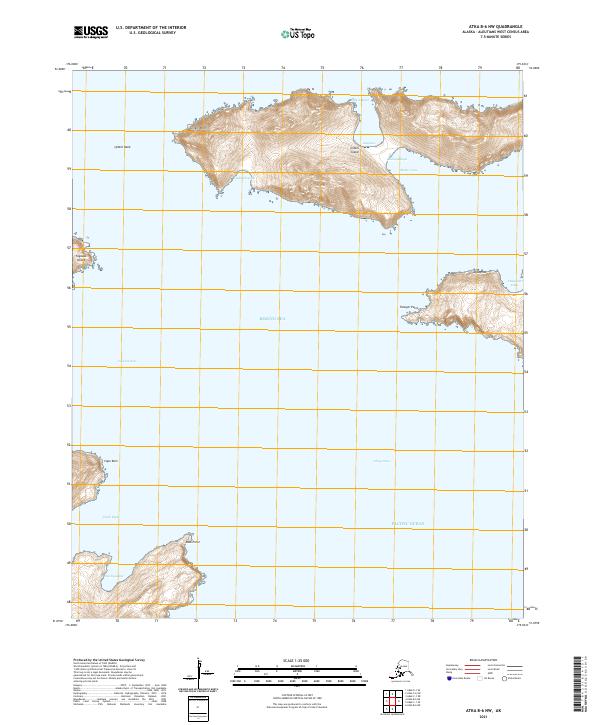
2021 · Atka B-6 NW
USGS Topo · 1:25,000
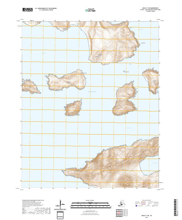
2021 · Adak C-1 NE
USGS Topo · 1:25,000