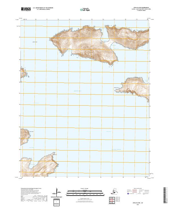
2021 Map of Atka B-6 NW
USGS Topo · Published 2021About this map
Igitkin Island dominates the northern reaches of this maritime survey, separating the Bering Sea from the Pacific Ocean. The island's complex shoreline is defined by landforms such as Igitkin Point and the sheltered waters of Igitkin Bight and Shelter Cove. To the south and west, smaller landmasses like Tagadak Island and the coastal projection of Ugiilagaxdax near Moss Point emerge from the deep water passes. The map documents the treacherous navigational channels of the Aleutians, specifically Asuksak Pass and Chuqul Pass. These waterways have long served as vital corridors for maritime transit between the two major oceans, while named features like Cape Ruin suggest the demanding nature of the coastal environment for mariners navigating these remote islands.
Find a feature on this map
26 named features on this map. Tap any name to fly to it.
Don’t see what you’re looking for? This feature index may not catch every label — zoom into the map to look around manually.
Map Details
Editions of this 2021 Atka B-6 NW Map
This is the sole edition of this map. No revisions or reprints were ever made.
Other maps of this area

1951 · Adak
USGS Topo · 1:250,000

1952 · Atka
USGS Topo · 1:250,000

1954 · Adak
USGS Topo · 1:250,000

1957 · Adak
USGS Topo · 1:250,000

1959 · Atka
USGS Topo · 1:250,000

1967 · Adak
USGS Topo · 1:250,000

1983 · Adak
USGS Topo · 1:250,000
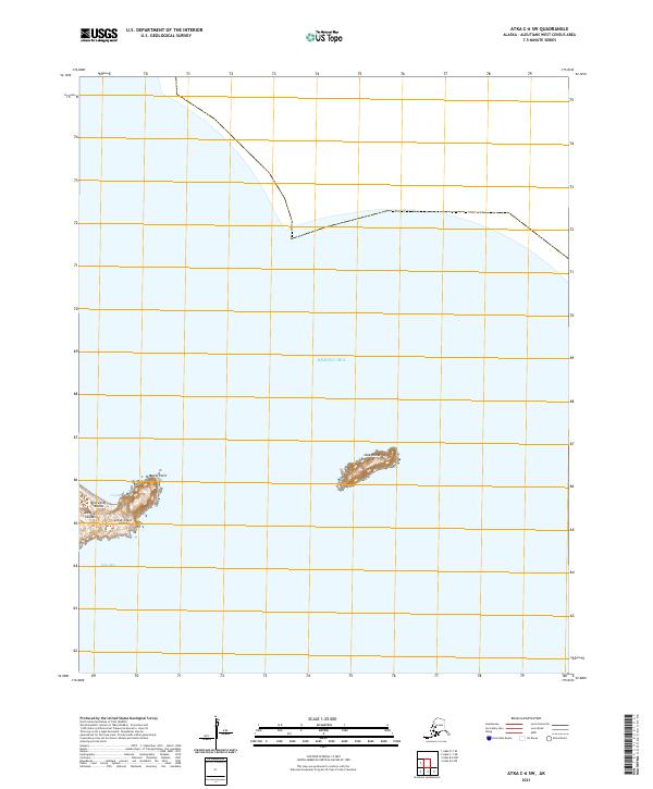
2021 · Atka C-6 SW
USGS Topo · 1:25,000
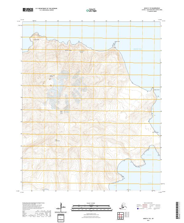
2021 · Adak D-1 SE
USGS Topo · 1:25,000
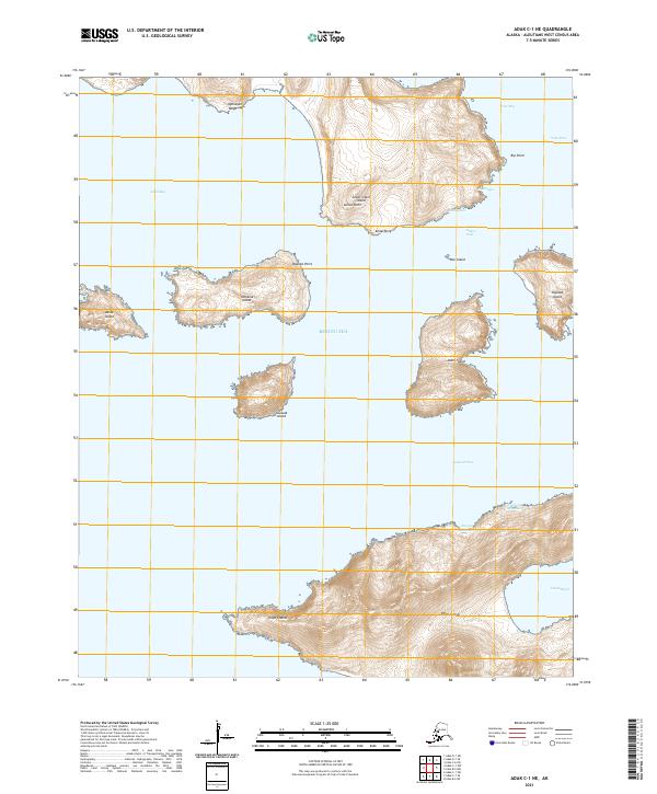
2021 · Adak C-1 NE
USGS Topo · 1:25,000