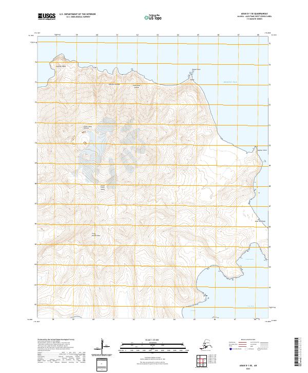
2021 Map of Adak D-1 SE
USGS Topo · Published 2021About this map
Great Sitkin Volcano dominates this portion of the Andreanof Islands, where the volcanic landscape of Great Sitkin Island meets the cold waters of the Bering Sea. The terrain is defined by dramatic coastal features and high-altitude points, including the prominent Triple Divide Peak and northern landmarks like Swallow Head and Teapot Rock.
Find a feature on this map
19 named features on this map. Tap any name to fly to it.
Don’t see what you’re looking for? This feature index may not catch every label — zoom into the map to look around manually.
Map Details
Editions of this 2021 Adak D-1 SE Map
This is the sole edition of this map. No revisions or reprints were ever made.
Other maps of this area

1951 · Adak
USGS Topo · 1:250,000

1952 · Atka
USGS Topo · 1:250,000

1954 · Adak
USGS Topo · 1:250,000

1957 · Adak
USGS Topo · 1:250,000

1959 · Atka
USGS Topo · 1:250,000

1967 · Adak
USGS Topo · 1:250,000

1983 · Adak
USGS Topo · 1:250,000
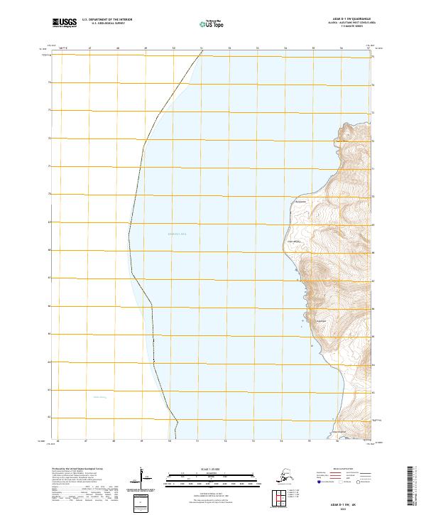
2021 · Adak D-1 SW
USGS Topo · 1:25,000
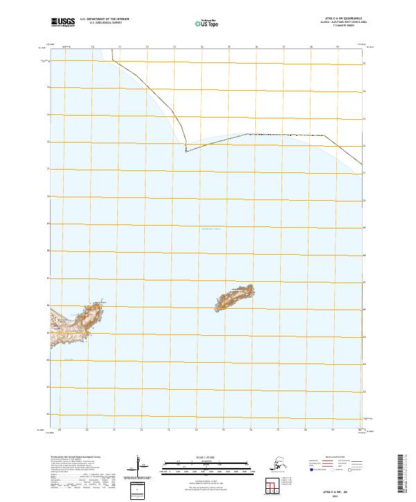
2021 · Atka C-6 SW
USGS Topo · 1:25,000
2021 · Adak D-1 NW
USGS Topo · 1:25,000