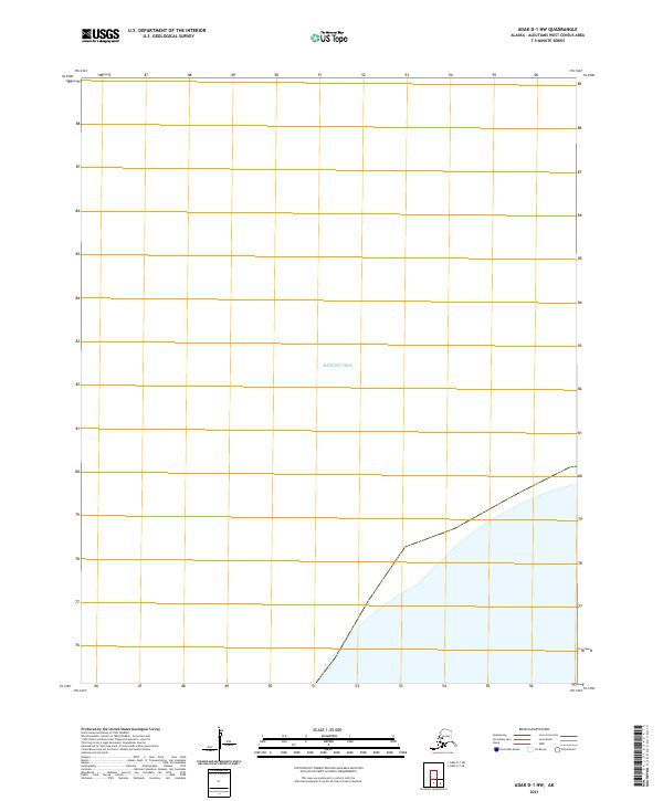
2021 Map of Adak D-1 NW
USGS Topo · Published 2021About this map
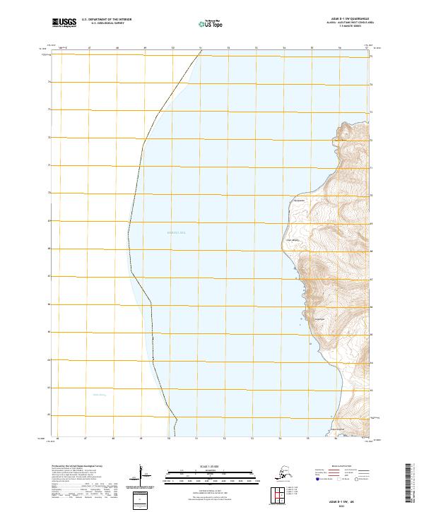
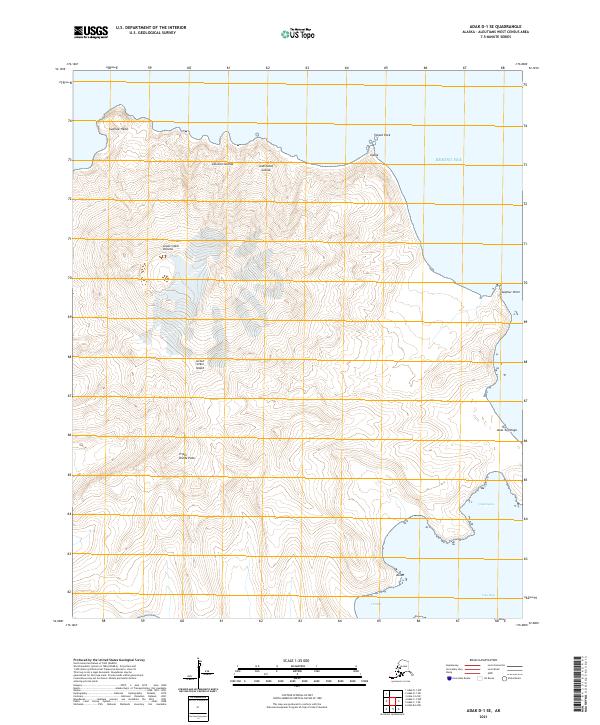
The Bering Sea dominates this northern maritime sector of the Aleutian Islands, where the open water meets a sparsely charted shoreline. Surveyed in 2021, the map defines a remote boundary between the open sea and the coastal fringes of t93s r192w and t93s r191w. This specific quadrangle primarily focuses on the offshore environment, serving as a baseline for maritime navigation and coastal monitoring in the Aleutians West Census Area. The lack of interior features emphasizes the isolation of this stretch of the Alaskan coast, where the landscape is defined more by its proximity to the northern waters than by any terrestrial development.
Find a feature on this map
21 named features on this map. Tap any name to fly to it.
Don’t see what you’re looking for? This feature index may not catch every label — zoom into the map to look around manually.
Map Details
Editions of this 2021 Adak D-1 NW Map
This is the sole edition of this map. No revisions or reprints were ever made.