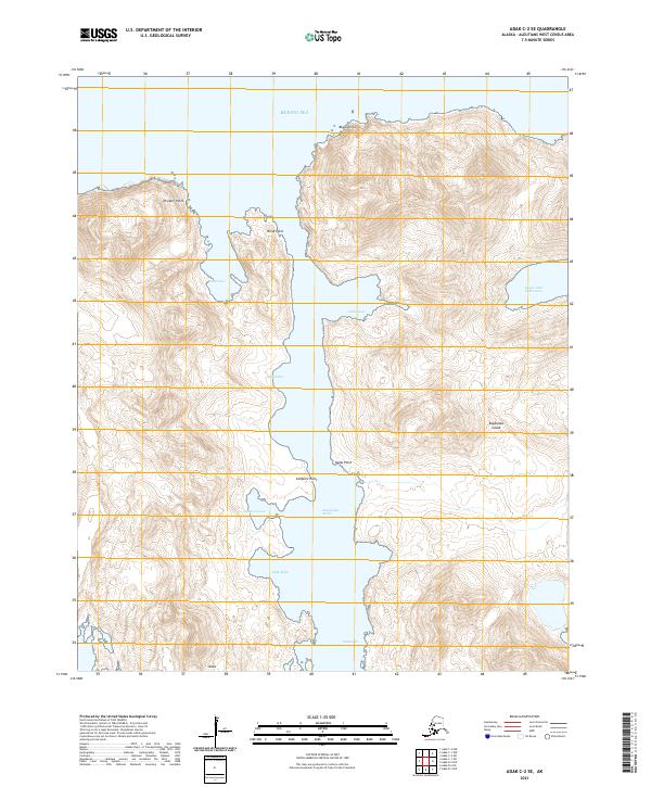
2021 Map of Adak C-2 SE
USGS Topo · Published 2021About this map
Kagalaska Strait separates the rugged coastline of Adak and Kagalaska Island in this remote maritime landscape of the Aleutians West Census Area. The passage is defined by a series of protected inlets and sharp coastal landmarks, including Adak Bight and Campers Cove. High-elevation terrain rises steeply from the water's edge, marked by prominent features such as Thunder Point and Black Point at the northern entrance from the Bering Sea. The map details the intricate shoreline of Laska Cove and Blind Cove, providing a precise look at the uninhabited topography where land meets the North Pacific. Indigenous place names like Kinalalilux, Haanuqix, and Ixusis are noted along the coastal fringe, grounding the survey in the local geographic identity of the island chain.
Find a feature on this map
20 named features on this map. Tap any name to fly to it.
Don’t see what you’re looking for? This feature index may not catch every label — zoom into the map to look around manually.
Map Details
Editions of this 2021 Adak C-2 SE Map
This is the sole edition of this map. No revisions or reprints were ever made.
Other maps of this area

1951 · Adak
USGS Topo · 1:250,000

1954 · Adak
USGS Topo · 1:250,000

1957 · Adak
USGS Topo · 1:250,000

1967 · Adak
USGS Topo · 1:250,000

1983 · Adak
USGS Topo · 1:250,000
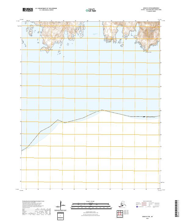
2021 · Adak B-2 NE
USGS Topo · 1:25,000
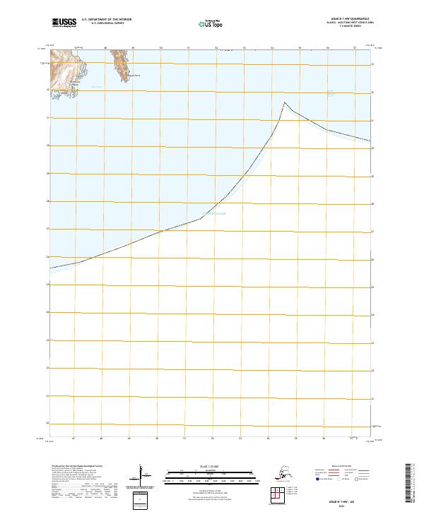
2021 · Adak B-1 NW
USGS Topo · 1:25,000
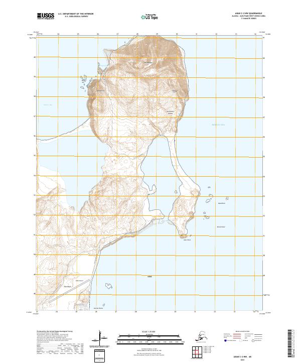
2021 · Adak C-2 NW
USGS Topo · 1:25,000
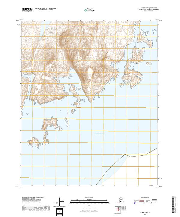
2021 · Adak B-2 NW
USGS Topo · 1:25,000
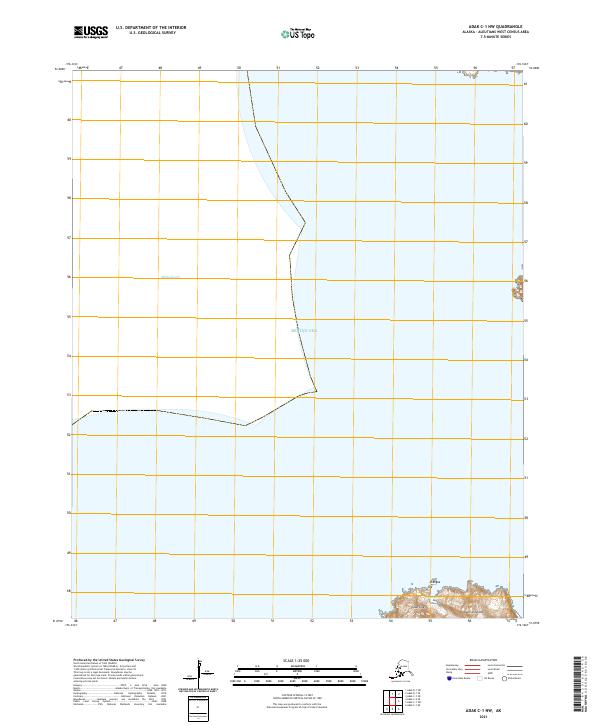
2021 · Adak C-1 NW
USGS Topo · 1:25,000