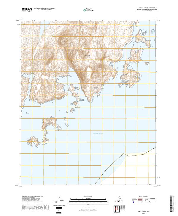
2021 Map of Adak B-2 NW
USGS Topo · Published 2021About this map
Adak Island dominates this portion of the Aleutian Islands chain, showcasing a deeply indented coastline where the land meets the Pacific Ocean. This 2021 survey illustrates the dramatic topography of the Andreanof Islands, characterized by numerous offshore features like Crone Island and Elf Island. The map provides precise detail of the maritime approaches to the island's southern and eastern shores, highlighting landmarks such as Barnard Point and the high ground at Ariglamax. Sheltered waters including Hidden Bay, Camel Cove, and Boat Bay provide a clear view of the natural harbors and inlets that define this remote maritime environment in the early 21st century.
Find a feature on this map
15 named features on this map. Tap any name to fly to it.
Don’t see what you’re looking for? This feature index may not catch every label — zoom into the map to look around manually.
Map Details
Editions of this 2021 Adak B-2 NW Map
This is the sole edition of this map. No revisions or reprints were ever made.
Other maps of this area

1951 · Adak
USGS Topo · 1:250,000

1954 · Adak
USGS Topo · 1:250,000

1957 · Adak
USGS Topo · 1:250,000

1967 · Adak
USGS Topo · 1:250,000

1983 · Adak
USGS Topo · 1:250,000
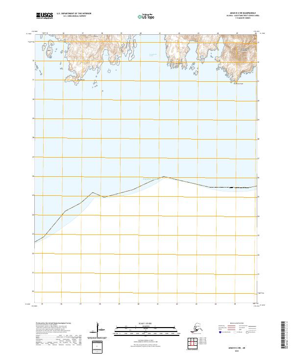
2021 · Adak B-2 NE
USGS Topo · 1:25,000
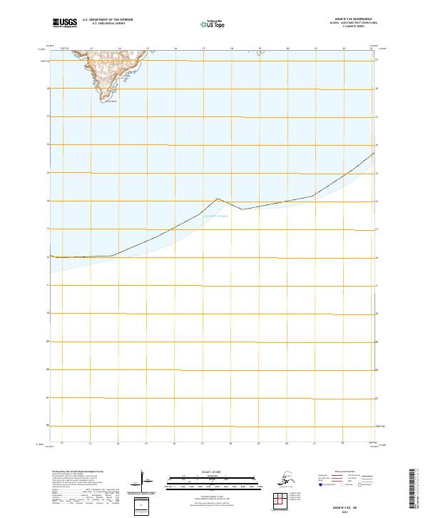
2021 · Adak B-3 SE
USGS Topo · 1:25,000
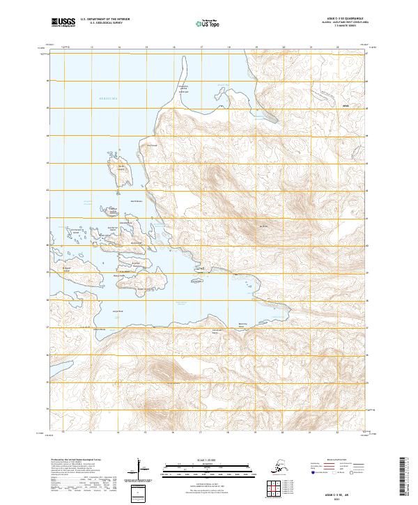
2021 · Adak C-3 SE
USGS Topo · 1:25,000

2021 · Adak C-2 SW
USGS Topo · 1:25,000
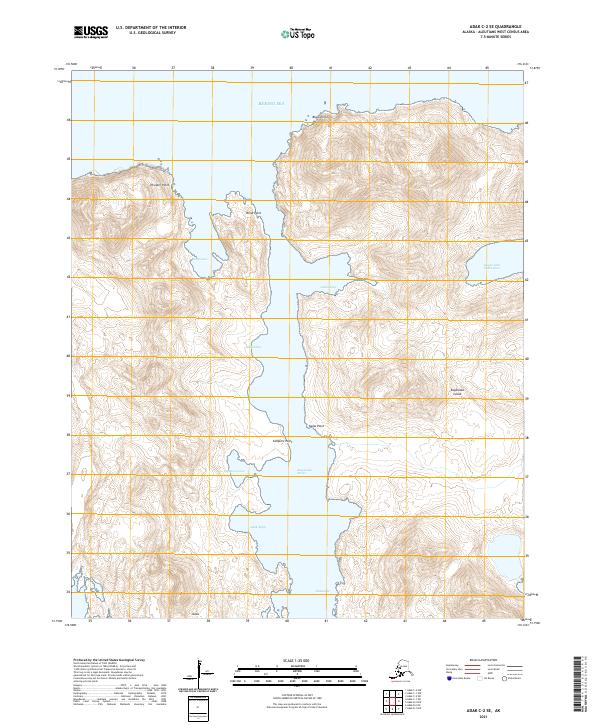
2021 · Adak C-2 SE
USGS Topo · 1:25,000