
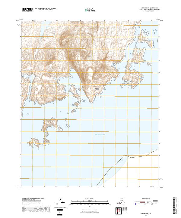
2021 Map of Adak C-2 SW
USGS Topo · Published 2021About this map
Adak Island presents a sharp contrast between the structured infrastructure of the northern coastline and the dramatic, undeveloped peaks of the interior. The northern sector is defined by a network of established corridors, including Bayshore Highway and Hillside Boulevard (South Spur), which serve the coastal area near Hammerhead and the residential layout of Happy Valley. This geography reflects the island's strategic maritime and military importance, with roads like Seawall Road and Main Road hugging the coast to manage access between the land and the Bering Sea.
Find a feature on this map
27 named features on this map. Tap any name to fly to it.
Don’t see what you’re looking for? This feature index may not catch every label — zoom into the map to look around manually.
Map Details
Editions of this 2021 Adak C-2 SW Map
This is the sole edition of this map. No revisions or reprints were ever made.
Other maps of this area

1951 · Adak
USGS Topo · 1:250,000

1954 · Adak
USGS Topo · 1:250,000

1957 · Adak
USGS Topo · 1:250,000

1967 · Adak
USGS Topo · 1:250,000

1983 · Adak
USGS Topo · 1:250,000
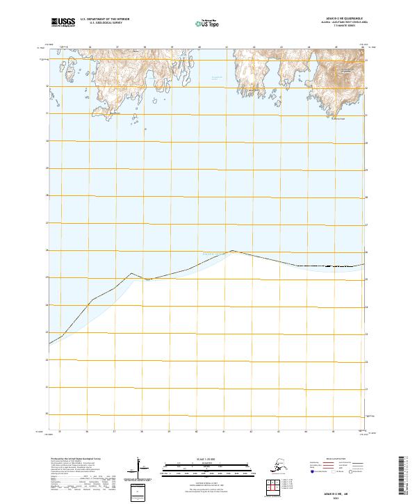
2021 · Adak B-2 NE
USGS Topo · 1:25,000
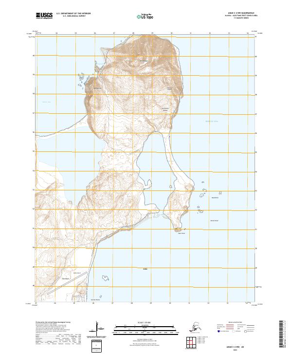
2021 · Adak C-2 NW
USGS Topo · 1:25,000
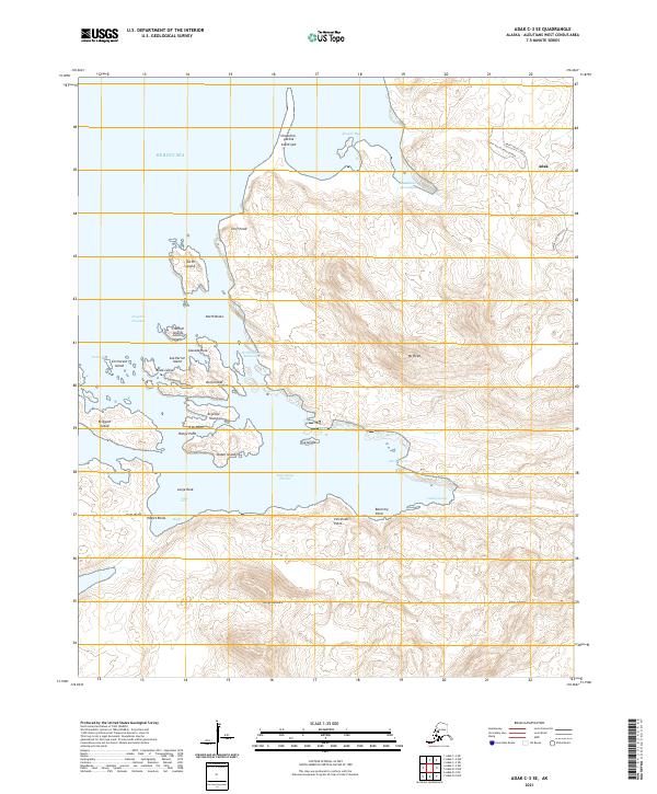
2021 · Adak C-3 SE
USGS Topo · 1:25,000
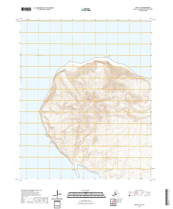
2021 · Adak C-3 NE
USGS Topo · 1:25,000
2021 · Adak B-2 NW
USGS Topo · 1:25,000