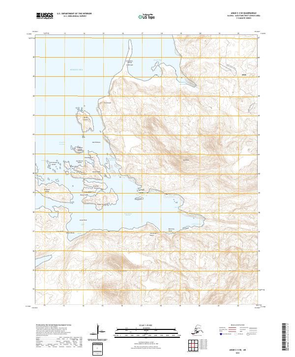
2021 Map of Adak C-3 SE
USGS Topo · Published 2021About this map
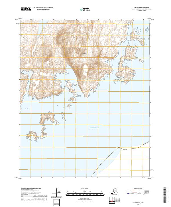
Adak occupies the northeastern corner of this remote Aleutian landscape, where the road network transitions from Happy Valley Road to the Happy Valley Road Detour. The area is defined by a deeply indented coastline and a cluster of maritime landmarks, including Expedition Harbor and the sheltered North Island Anchorage. Topographic detail reveals the steep elevations of Mt Reed and the various points and spits that guard the approaches to the Bering Sea, such as Cliff Point and Chaxchim-gutikix South Spit.
Find a feature on this map
43 named features on this map. Tap any name to fly to it.
Don’t see what you’re looking for? This feature index may not catch every label — zoom into the map to look around manually.
Map Details
Editions of this 2021 Adak C-3 SE Map
This is the sole edition of this map. No revisions or reprints were ever made.
Other maps of this area

1951 · Adak
USGS Topo · 1:250,000

1954 · Adak
USGS Topo · 1:250,000

1957 · Adak
USGS Topo · 1:250,000

1967 · Adak
USGS Topo · 1:250,000

1983 · Adak
USGS Topo · 1:250,000
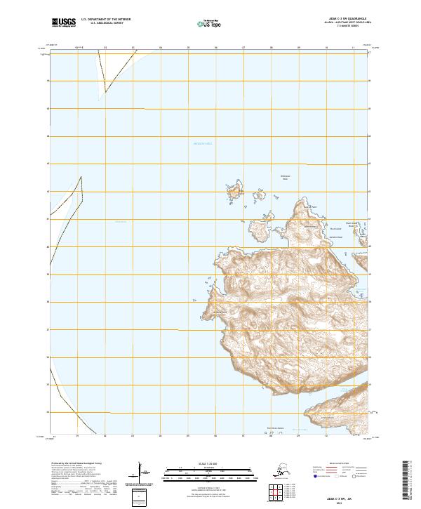
2021 · Adak C-3 SW
USGS Topo · 1:25,000
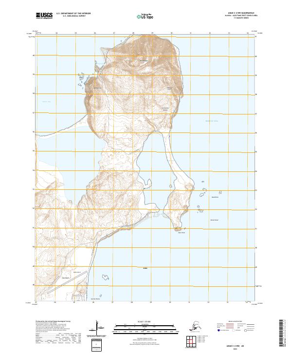
2021 · Adak C-2 NW
USGS Topo · 1:25,000
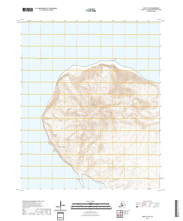
2021 · Adak C-3 NE
USGS Topo · 1:25,000
2021 · Adak B-2 NW
USGS Topo · 1:25,000

2021 · Adak C-2 SW
USGS Topo · 1:25,000