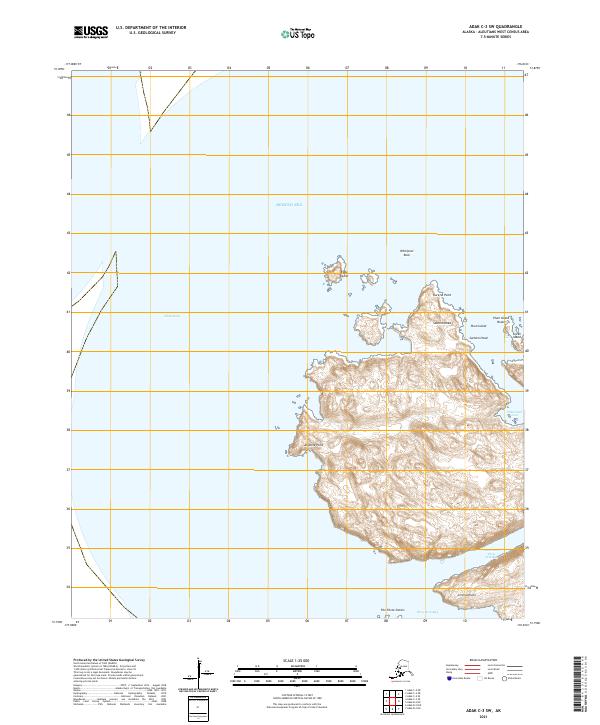
2021 Map of Adak C-3 SW
USGS Topo · Published 2021About this map
Adak Strait dominates the western portion of this maritime landscape, where the waters of the Bering Sea meet the complex coastlines of the Aleutian chain. This 2021 survey illustrates a primarily uninhabited coastal environment defined by dramatic points and small offshore islands. Notable navigation landmarks include Sachem Head and the nearby Plum Island, as well as the treacherous-sounding Whirlpool Rock situated in the northern reaches of the strait.
Find a feature on this map
18 named features on this map. Tap any name to fly to it.
Don’t see what you’re looking for? This feature index may not catch every label — zoom into the map to look around manually.
Map Details
Editions of this 2021 Adak C-3 SW Map
This is the sole edition of this map. No revisions or reprints were ever made.
Other maps of this area

1951 · Adak
USGS Topo · 1:250,000

1954 · Adak
USGS Topo · 1:250,000

1957 · Adak
USGS Topo · 1:250,000

1967 · Adak
USGS Topo · 1:250,000

1983 · Adak
USGS Topo · 1:250,000
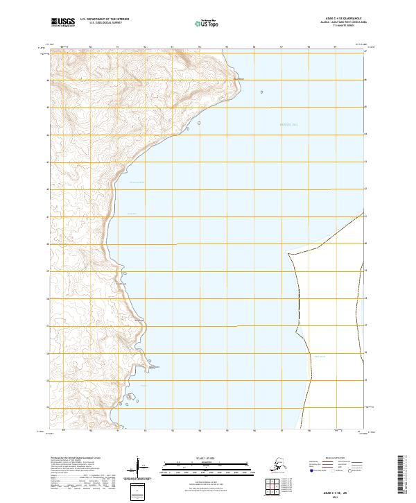
2021 · Adak C-4 SE
USGS Topo · 1:25,000
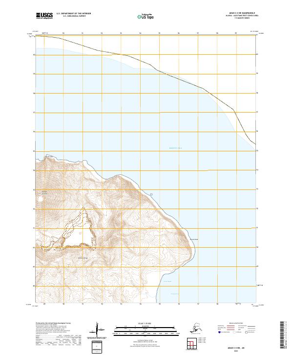
2021 · Adak C-4 NE
USGS Topo · 1:25,000
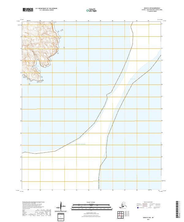
2021 · Adak B-4 NE
USGS Topo · 1:25,000
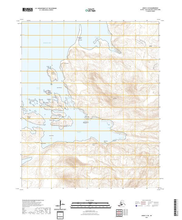
2021 · Adak C-3 SE
USGS Topo · 1:25,000
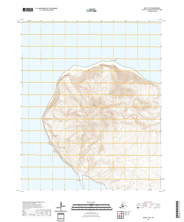
2021 · Adak C-3 NE
USGS Topo · 1:25,000