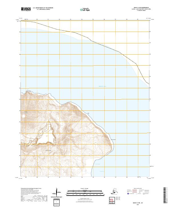
2021 Map of Adak C-4 NE
USGS Topo · Published 2021About this map
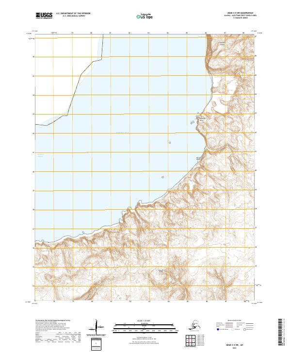
Kanaga Volcano dominates the western edge of this island landscape, its steep contours rising sharply from the Bering Sea. This coastal survey reveals a terrain defined by sharp promontories and secluded inlets, where the Kanaton Ridge serves as a central spine across the northern reach. To the east, the shoreline transitions from the prominent point of Round Head down into the sheltered waters of Weed Bight and Waygignax. The lack of inland development or road networks underscores the isolation of this part of the Aleutian chain, focusing instead on the dramatic natural interface between volcanic slopes and the North Pacific. Notable landmarks like North Cape provide crucial orientation points along a coast where the elevation drops precipitously into the sea.
Find a feature on this map
12 named features on this map. Tap any name to fly to it.
Don’t see what you’re looking for? This feature index may not catch every label — zoom into the map to look around manually.
Map Details
Editions of this 2021 Adak C-4 NE Map
This is the sole edition of this map. No revisions or reprints were ever made.
Other maps of this area

1951 · Adak
USGS Topo · 1:250,000

1954 · Adak
USGS Topo · 1:250,000

1957 · Adak
USGS Topo · 1:250,000

1967 · Adak
USGS Topo · 1:250,000

1983 · Adak
USGS Topo · 1:250,000
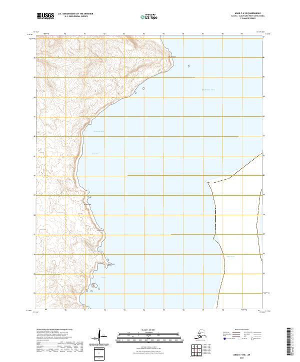
2021 · Adak C-4 SE
USGS Topo · 1:25,000
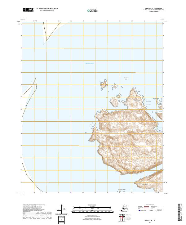
2021 · Adak C-3 SW
USGS Topo · 1:25,000
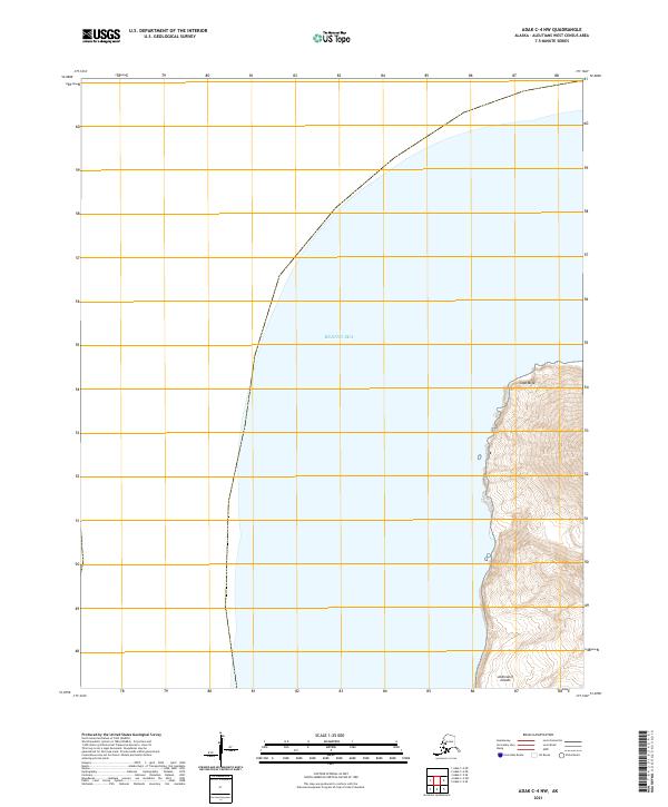
2021 · Adak C-4 NW
USGS Topo · 1:25,000
2021 · Adak C-4 SW
USGS Topo · 1:25,000