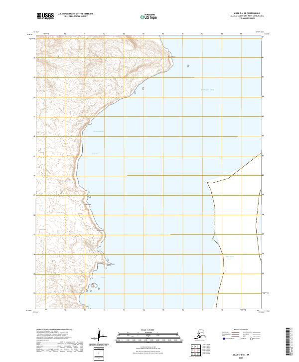
2021 Map of Adak C-4 SE
USGS Topo · Published 2021About this map
Bering Sea waters and the eastern reaches of the Adak Strait define this remote coastal landscape in the Aleutian Islands. The coastline is marked by complex geographical features including Westway Bight and several named points such as Shoal Point and Naga Point. This survey details a transition from the deep maritime environment into a shoreline characterized by Indigenous place names like Kunalisxux, Tunsluqas, and Uliiqux. These labels reflect the specific cultural and geographical identity of the region, anchored by the Qadanax inlet. The absence of roads or modern infrastructure on this 2021 topographic record emphasizes the isolation of the island chain's maritime frontier, where natural features and traditional names remain the primary landmarks for navigation and land use.
Find a feature on this map
13 named features on this map. Tap any name to fly to it.
Don’t see what you’re looking for? This feature index may not catch every label — zoom into the map to look around manually.
Map Details
Editions of this 2021 Adak C-4 SE Map
This is the sole edition of this map. No revisions or reprints were ever made.
Other maps of this area

1951 · Adak
USGS Topo · 1:250,000

1954 · Adak
USGS Topo · 1:250,000

1957 · Adak
USGS Topo · 1:250,000

1967 · Adak
USGS Topo · 1:250,000

1983 · Adak
USGS Topo · 1:250,000
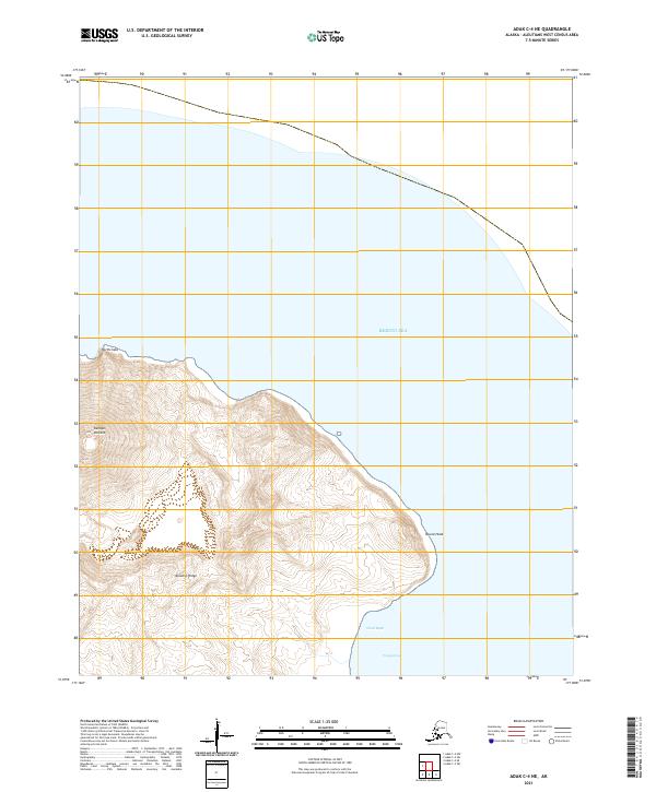
2021 · Adak C-4 NE
USGS Topo · 1:25,000
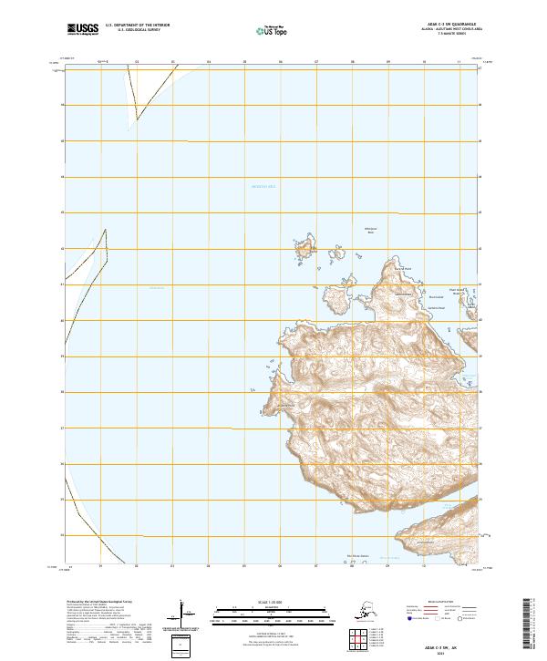
2021 · Adak C-3 SW
USGS Topo · 1:25,000
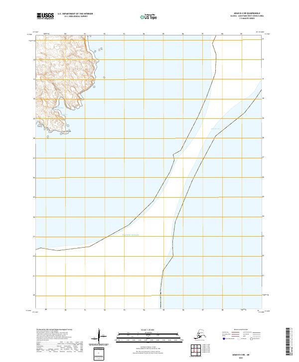
2021 · Adak B-4 NE
USGS Topo · 1:25,000
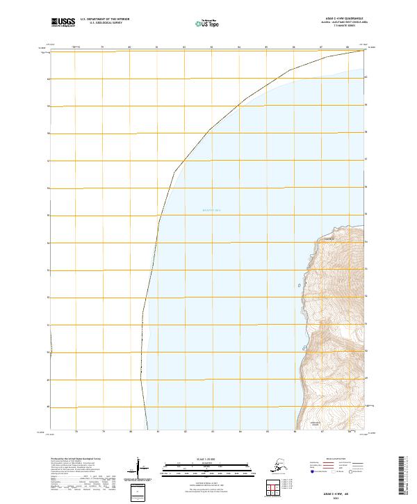
2021 · Adak C-4 NW
USGS Topo · 1:25,000
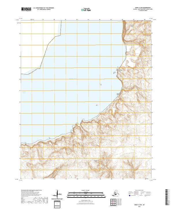
2021 · Adak C-4 SW
USGS Topo · 1:25,000