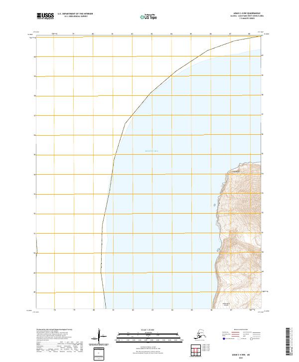
2021 Map of Adak C-4 NW
USGS Topo · Published 2021About this map
Cape Miga defines the eastern coast of this remote maritime landscape, part of the larger Andreanof Islands group in the Aleutians West region. The terrain is characterized by a sharp, cliffside ascent from the Bering Sea, where the elevation climbs rapidly from sea level to over 1,600 feet within a short distance inland. This 2021 survey illustrates the sheer isolation of the coastline, showing no developed roads, settlements, or infrastructure within the immediate vicinity of the cape. The cartography focuses on the stark transition between the deep waters of the North Pacific environment and the high-relief volcanic topography of the islands, providing a modern record of one of the westernmost reaches of the United States. While the interior shows the complex contours of the peaks, the vast majority of the sheet is occupied by the open waters of the sea.
Find a feature on this map
7 named features on this map. Tap any name to fly to it.
Don’t see what you’re looking for? This feature index may not catch every label — zoom into the map to look around manually.
Map Details
Editions of this 2021 Adak C-4 NW Map
This is the sole edition of this map. No revisions or reprints were ever made.
Other maps of this area

1951 · Adak
USGS Topo · 1:250,000

1954 · Adak
USGS Topo · 1:250,000

1957 · Adak
USGS Topo · 1:250,000

1967 · Adak
USGS Topo · 1:250,000

1983 · Adak
USGS Topo · 1:250,000
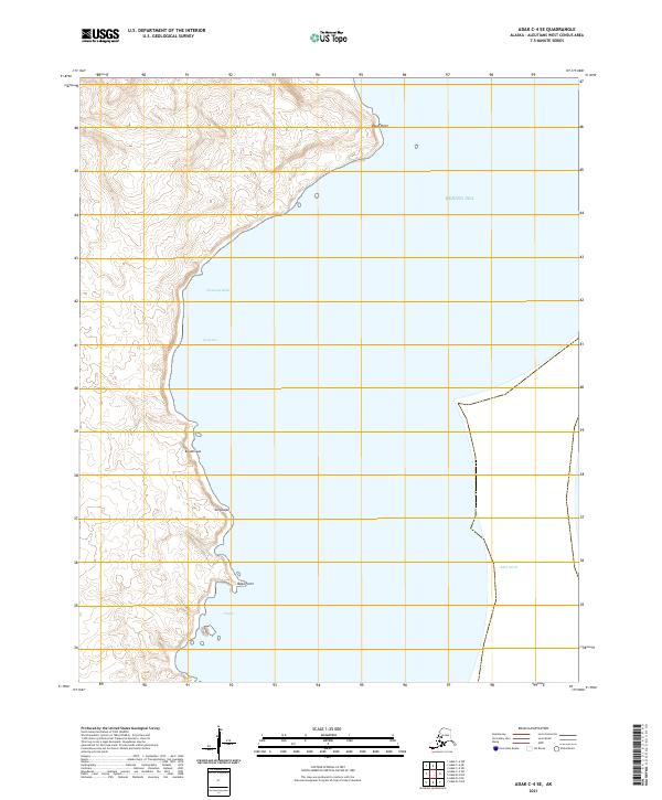
2021 · Adak C-4 SE
USGS Topo · 1:25,000
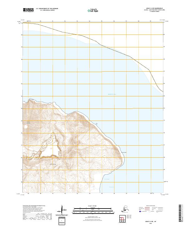
2021 · Adak C-4 NE
USGS Topo · 1:25,000
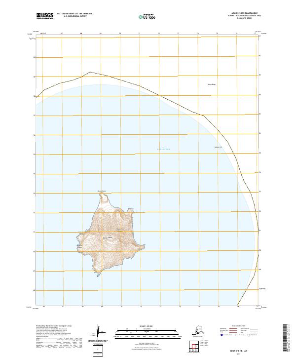
2021 · Adak C-5 NE
USGS Topo · 1:25,000
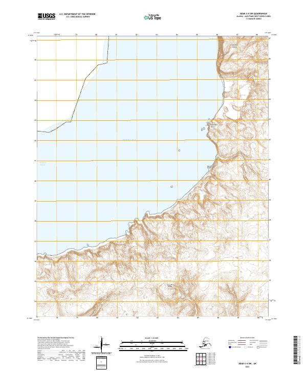
2021 · Adak C-4 SW
USGS Topo · 1:25,000
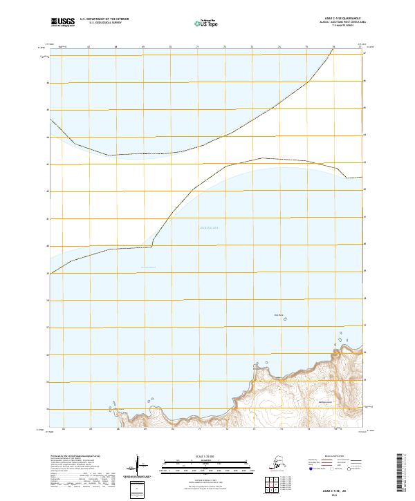
2021 · Adak C-5 SE
USGS Topo · 1:25,000