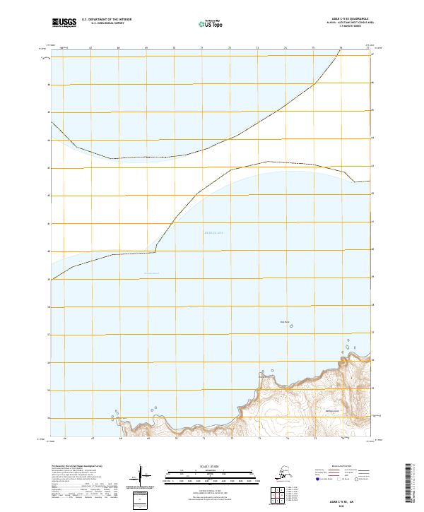
2021 Map of Adak C-5 SE
USGS Topo · Published 2021About this map
Kanaga Island sits at the southern edge of this maritime survey, showing a stark and uninhabited volcanic landscape in the central Aleutians. The island's northern coastline is marked by sharp topographic transitions into Kanaga Sound, where the terrain drops steeply toward the water. Coastal landmarks such as Bridge Point and Cabin Point provide the only navigational markers along this stretch of the Bering Sea. Offshore, the isolated outcrop of Ship Rock stands as a distinct maritime feature in the open water. This 2021 update primarily serves as a record of the shoreline and elevation contours for the northern portion of the island, where the lack of roads or structures emphasizes the island's role as part of a protected wilderness area within the Aleutians West region.
Find a feature on this map
10 named features on this map. Tap any name to fly to it.
Don’t see what you’re looking for? This feature index may not catch every label — zoom into the map to look around manually.
Map Details
Editions of this 2021 Adak C-5 SE Map
This is the sole edition of this map. No revisions or reprints were ever made.
Other maps of this area

1951 · Adak
USGS Topo · 1:250,000

1954 · Adak
USGS Topo · 1:250,000

1957 · Adak
USGS Topo · 1:250,000

1967 · Adak
USGS Topo · 1:250,000

1983 · Adak
USGS Topo · 1:250,000
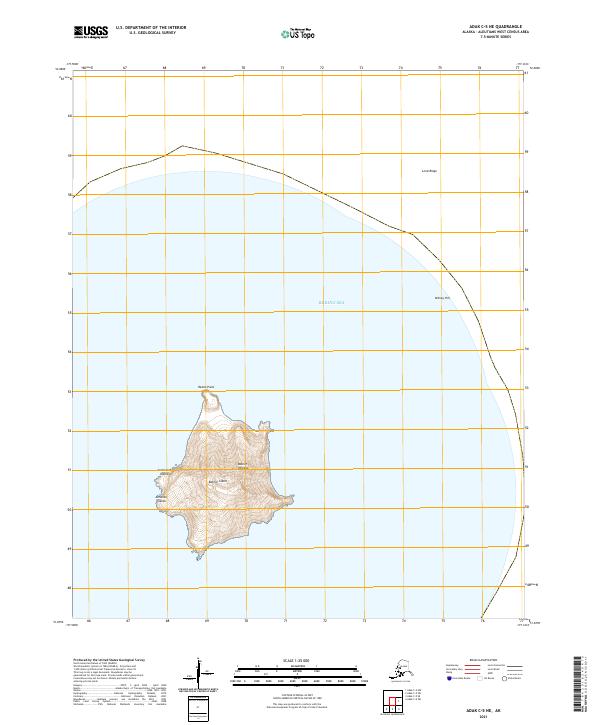
2021 · Adak C-5 NE
USGS Topo · 1:25,000
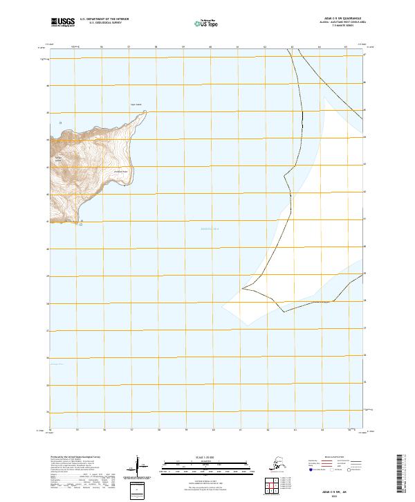
2021 · Adak C-5 SW
USGS Topo · 1:25,000
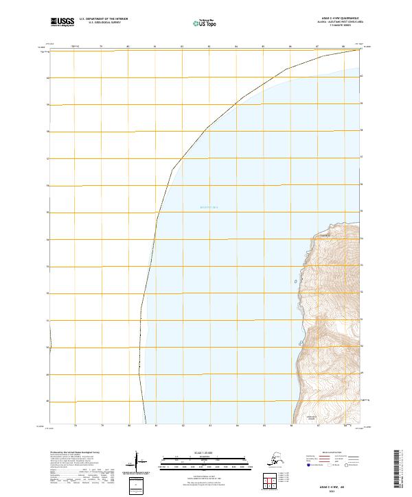
2021 · Adak C-4 NW
USGS Topo · 1:25,000
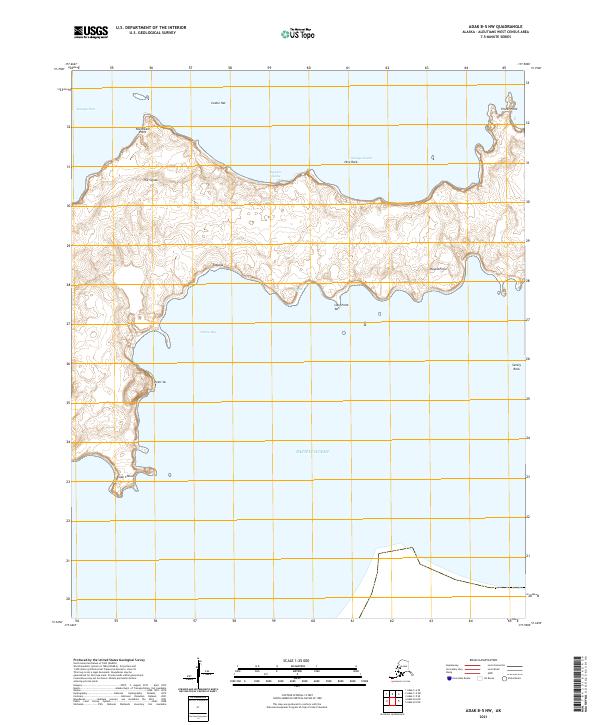
2021 · Adak B-5 NW
USGS Topo · 1:25,000
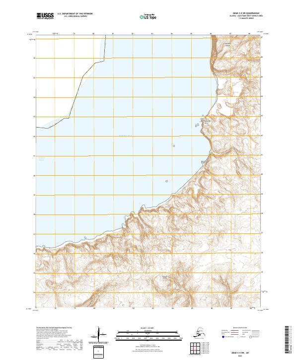
2021 · Adak C-4 SW
USGS Topo · 1:25,000