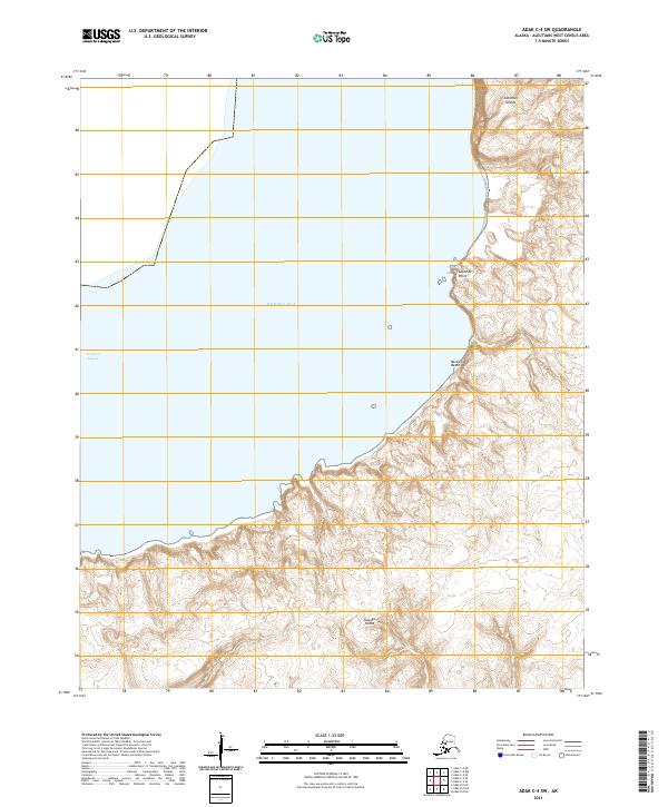
2021 Map of Adak C-4 SW
USGS Topo · Published 2021About this map
Kanaga Island and the surrounding waters of the Bering Sea define this isolated section of the Aleutian Islands chain. The landscape is dominated by the steep coastal contours of the island's northeastern coastline, where the land meets Kanaga Sound. Significant coastal landmarks include the prominent Lakeside Point and the adjacent Belleview Beach, which provide specific points of reference along an otherwise sheer and complex shoreline. The survey illustrates the stark transition between the open sea and the volcanic terrain typical of this remote archipelago, capturing the exact coastline and topographic elevations as they stood in the early twenty-first century.
Find a feature on this map
10 named features on this map. Tap any name to fly to it.
Don’t see what you’re looking for? This feature index may not catch every label — zoom into the map to look around manually.
Map Details
Editions of this 2021 Adak C-4 SW Map
This is the sole edition of this map. No revisions or reprints were ever made.
Other maps of this area

1951 · Adak
USGS Topo · 1:250,000

1954 · Adak
USGS Topo · 1:250,000

1957 · Adak
USGS Topo · 1:250,000

1967 · Adak
USGS Topo · 1:250,000

1983 · Adak
USGS Topo · 1:250,000
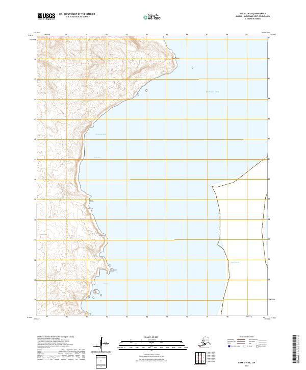
2021 · Adak C-4 SE
USGS Topo · 1:25,000
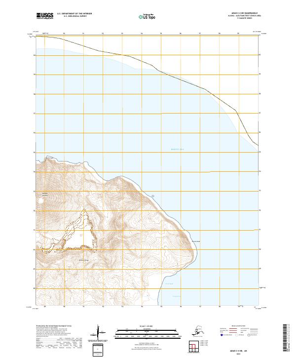
2021 · Adak C-4 NE
USGS Topo · 1:25,000
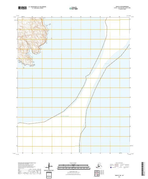
2021 · Adak B-4 NE
USGS Topo · 1:25,000
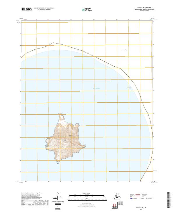
2021 · Adak C-5 NE
USGS Topo · 1:25,000
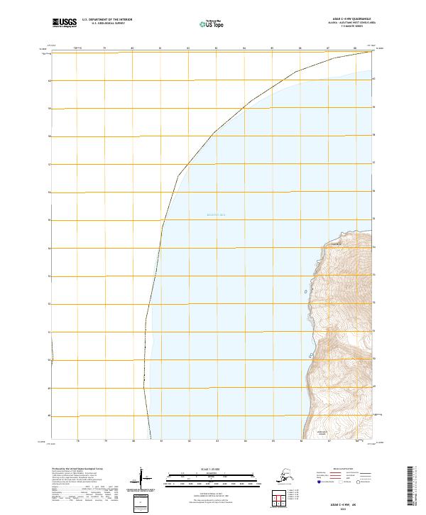
2021 · Adak C-4 NW
USGS Topo · 1:25,000