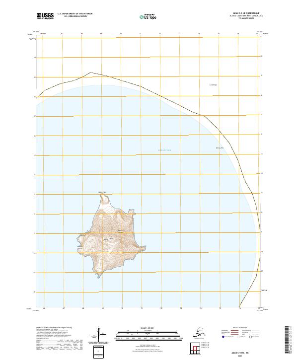
2021 Map of Adak C-5 NE
USGS Topo · Published 2021About this map
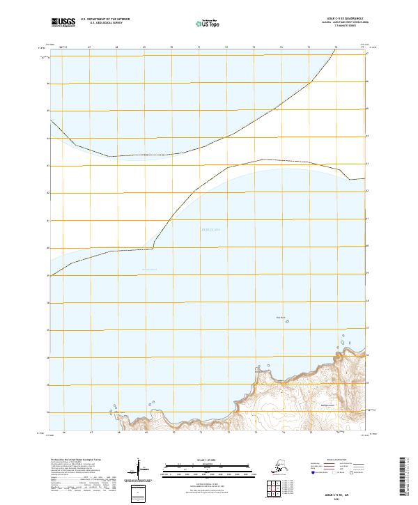
Bobrof Island dominates the center of this maritime survey, a lone volcanic landmass rising from the Bering Sea within the Andreanof Islands chain. The topography is defined by the symmetrical cone of Bobrof Volcano, which reaches a peak elevation surrounded by steep slopes that terminate at the rocky coastline. Notable coastal landmarks include Redan Point on the island's northern tip, while the surrounding waters extend toward submerged or distant features like Lend Ridge and Kidney Hill to the northeast. This 2021 edition provides an exceptionally detailed look at the island's isolation and the stark volcanic character typical of the Aleutian Islands, showing the relationship between the peak and the surrounding bathymetric contours indicated by the sea's expanse.
Find a feature on this map
12 named features on this map. Tap any name to fly to it.
Don’t see what you’re looking for? This feature index may not catch every label — zoom into the map to look around manually.
Map Details
Editions of this 2021 Adak C-5 NE Map
This is the sole edition of this map. No revisions or reprints were ever made.
Other maps of this area

1951 · Adak
USGS Topo · 1:250,000

1954 · Adak
USGS Topo · 1:250,000

1957 · Adak
USGS Topo · 1:250,000

1967 · Adak
USGS Topo · 1:250,000

1983 · Adak
USGS Topo · 1:250,000
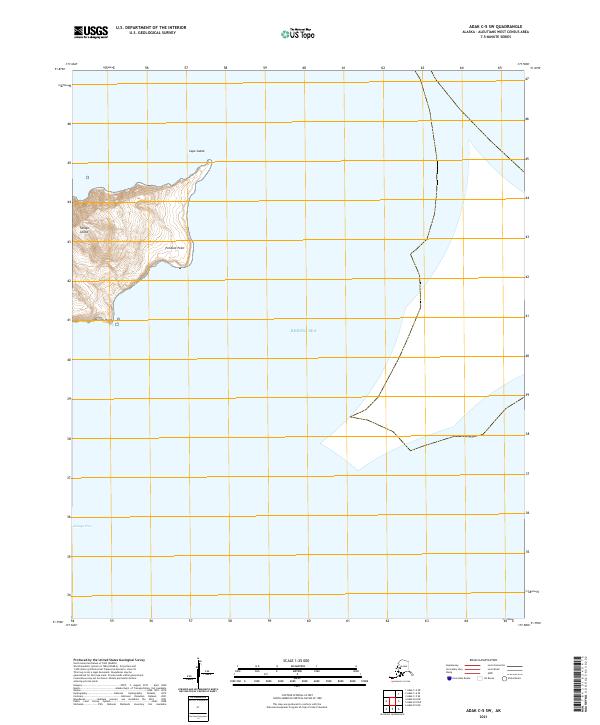
2021 · Adak C-5 SW
USGS Topo · 1:25,000
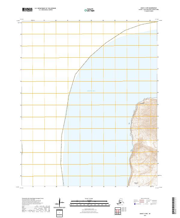
2021 · Adak C-4 NW
USGS Topo · 1:25,000
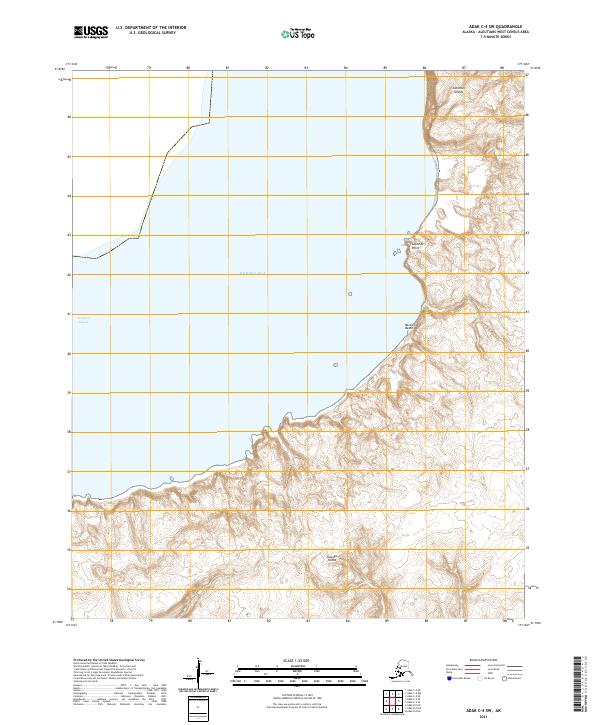
2021 · Adak C-4 SW
USGS Topo · 1:25,000
2021 · Adak C-5 SE
USGS Topo · 1:25,000