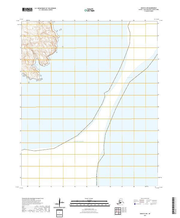
2021 Map of Adak B-4 NE
USGS Topo · Published 2021About this map
Adak Strait dominates the eastern expanse of this maritime survey, illustrating the critical water passage between islands in the Aleutian chain. The landmass depicted is characterized by complex coastal indentations, including the protected waters of False Bay and the vicinity of Uluqukizax. Topographical details reveal the elevation shifts leading toward Cape Chlanak, a prominent point extending into the northern waters of the Pacific Ocean. This 2021 edition provides modern cartographic precision for a remote region where land and sea are intricately linked, focusing on natural coastal features and nautical boundaries rather than human infrastructure or inland development.
Find a feature on this map
9 named features on this map. Tap any name to fly to it.
Don’t see what you’re looking for? This feature index may not catch every label — zoom into the map to look around manually.
Map Details
Editions of this 2021 Adak B-4 NE Map
This is the sole edition of this map. No revisions or reprints were ever made.
Other maps of this area

1951 · Adak
USGS Topo · 1:250,000

1954 · Adak
USGS Topo · 1:250,000

1957 · Adak
USGS Topo · 1:250,000

1967 · Adak
USGS Topo · 1:250,000

1983 · Adak
USGS Topo · 1:250,000
2021 · Adak B-3 SW
USGS Topo · 1:25,000
2021 · Adak C-4 SE
USGS Topo · 1:25,000
2021 · Adak C-3 SW
USGS Topo · 1:25,000
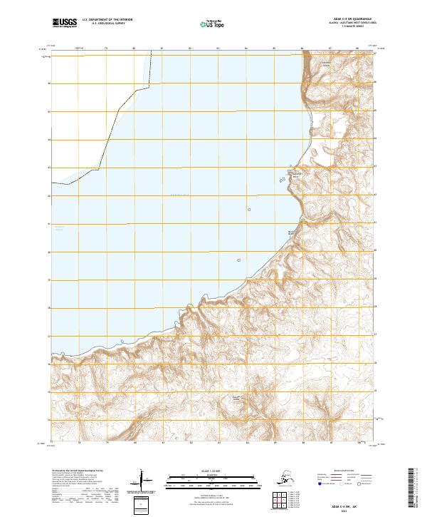
2021 · Adak C-4 SW
USGS Topo · 1:25,000
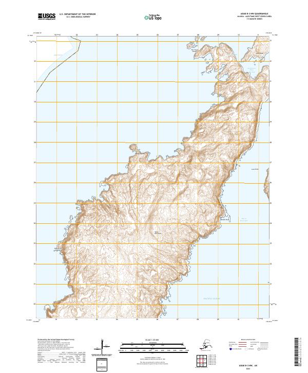
2021 · Adak B-3 NW
USGS Topo · 1:25,000