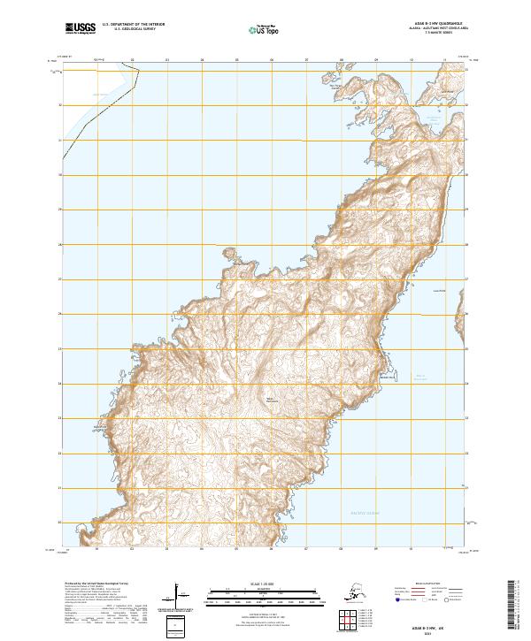
2021 Map of Adak B-3 NW
USGS Topo · Published 2021About this map
The Yakak Peninsula forms a prominent landmass on the southwestern side of Adak Island, where the land meets the Pacific Ocean. This coastal landscape is defined by its deeply indented shoreline, most notably at Three Arm Bay and the sheltered South Arm Three Arm Bay. The terrain rises sharply from the sea, marked by significant coastal features such as The Three Sisters and Split Point to the north, and Hook Point to the west along the Adak Strait. The lack of roads or settlements emphasizes the maritime and topographical focus of this area. On the eastern shore, Middle Rock sits within the wide Bay of Waterfalls, a name that suggests the drainage patterns of the interior slopes. This survey provides precise elevation data for the various headlands, including Wedge Point and Low Point, documenting the interface between the Aleutian heights and the surrounding cold waters.
Find a feature on this map
17 named features on this map. Tap any name to fly to it.
Don’t see what you’re looking for? This feature index may not catch every label — zoom into the map to look around manually.
Map Details
Editions of this 2021 Adak B-3 NW Map
This is the sole edition of this map. No revisions or reprints were ever made.
Other maps of this area

1951 · Adak
USGS Topo · 1:250,000

1954 · Adak
USGS Topo · 1:250,000

1957 · Adak
USGS Topo · 1:250,000

1967 · Adak
USGS Topo · 1:250,000

1983 · Adak
USGS Topo · 1:250,000
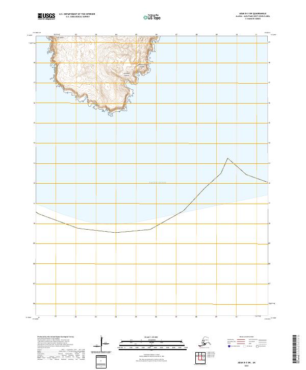
2021 · Adak B-3 SW
USGS Topo · 1:25,000
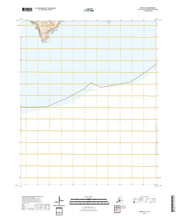
2021 · Adak B-3 SE
USGS Topo · 1:25,000
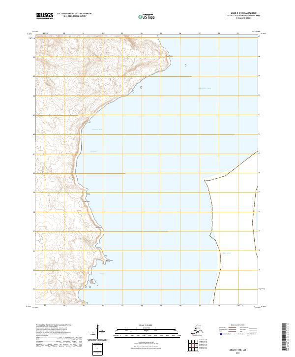
2021 · Adak C-4 SE
USGS Topo · 1:25,000
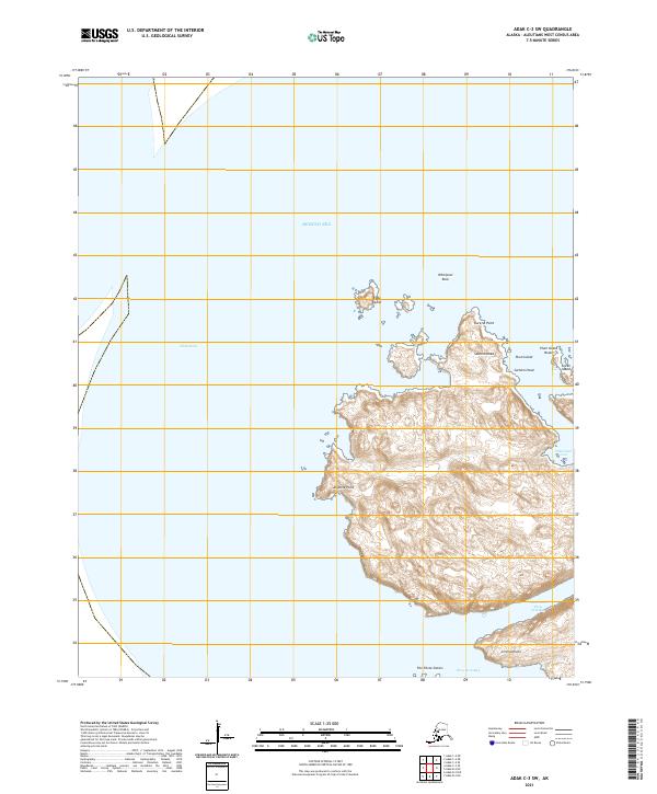
2021 · Adak C-3 SW
USGS Topo · 1:25,000
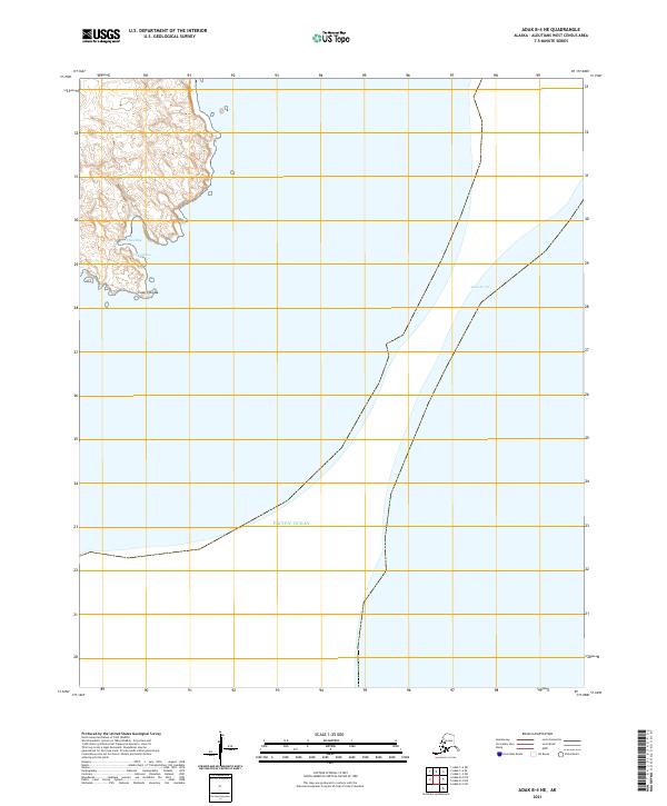
2021 · Adak B-4 NE
USGS Topo · 1:25,000