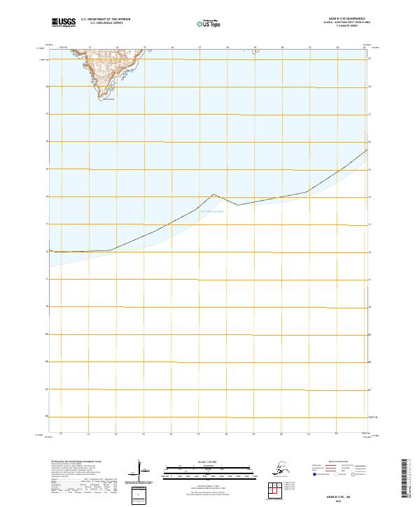
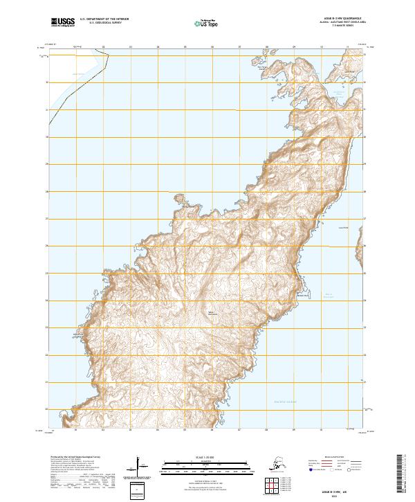
2021 Map of Adak B-3 SE
USGS Topo · Published 2021About this map
Turret Point serves as the dominant coastal landmark on this maritime-focused survey of the Aleutian landscape. The map covers a remote section of the Aleutians West region where the rugged shoreline of Adak Island meets the vast Pacific Ocean. This 2021 edition provides precise topographic detail of the landforms and maritime boundaries, specifically highlighting the interaction between the volcanic terrain and the surrounding sea. The land is divided by the Public Land Survey System grids of t99s r198w and t99s r197w, indicating the formal cadastral organization of this isolated territory even in the absence of developed settlements or roads.
Find a feature on this map
4 named features on this map. Tap any name to fly to it.
Don’t see what you’re looking for? This feature index may not catch every label — zoom into the map to look around manually.
Map Details
Editions of this 2021 Adak B-3 SE Map
This is the sole edition of this map. No revisions or reprints were ever made.
Other maps of this area

1951 · Adak
USGS Topo · 1:250,000

1954 · Adak
USGS Topo · 1:250,000

1957 · Adak
USGS Topo · 1:250,000

1967 · Adak
USGS Topo · 1:250,000

1983 · Adak
USGS Topo · 1:250,000
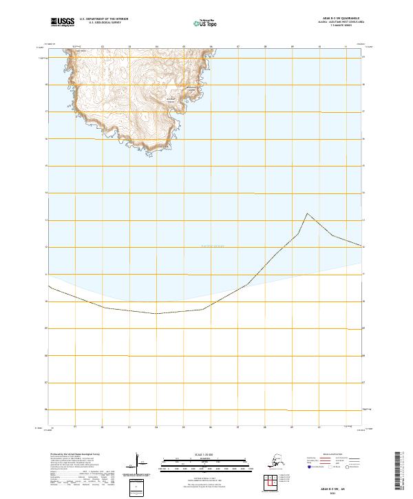
2021 · Adak B-3 SW
USGS Topo · 1:25,000
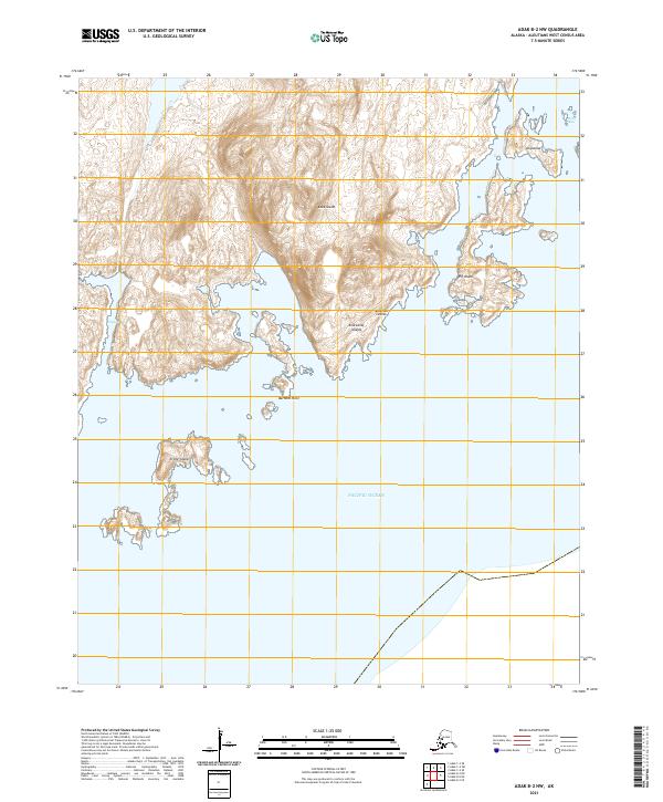
2021 · Adak B-2 NW
USGS Topo · 1:25,000
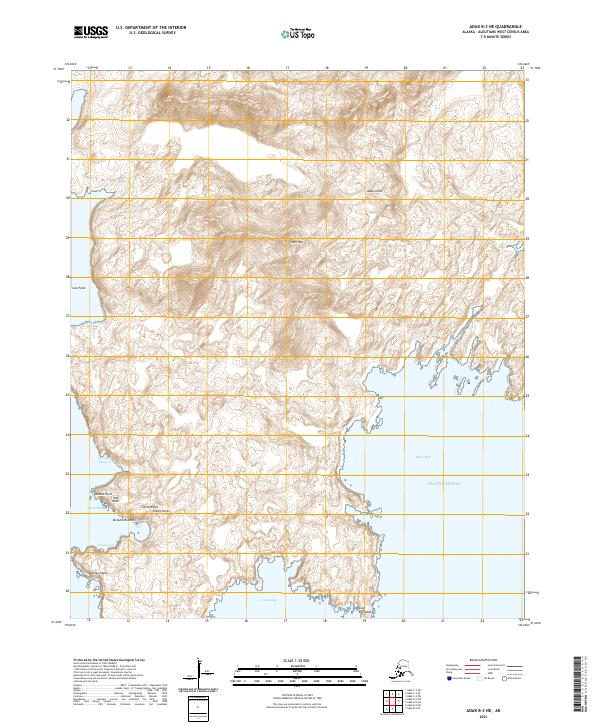
2021 · Adak B-3 NE
USGS Topo · 1:25,000
2021 · Adak B-3 NW
USGS Topo · 1:25,000