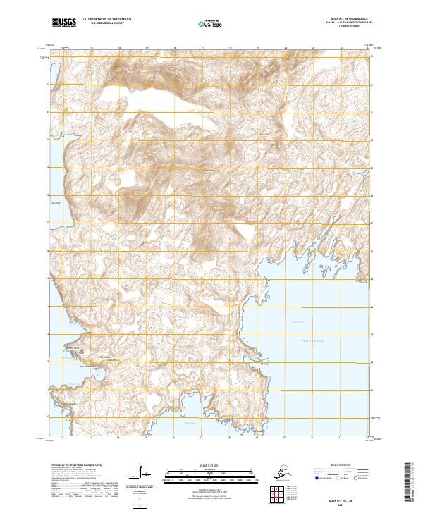
2021 Map of Adak B-3 NE
USGS Topo · Published 2021About this map
Adak Island presents a complex maritime landscape where the high peaks of the Aleutians meet the Pacific Ocean. The interior is dominated by the volcanic profile of Split Top, dropping away to a deeply indented coastline of bights and bays. Significant coastal features like Wedge Cape and Cape Kagigikak define the southern extremities, while the western shore is marked by hazardous outcrops including Pulpit Rocks, Red Rock, and McCulloch Rock. Though primarily a wilderness survey, the presence of Chapel Road leading toward Chapel Cove indicates established access to the island's interior and southern waters. This 2021 record captures the topography of Qaluqix Hilixsax and the surrounding marine environments of Beyer Bay and Cataract Bight with high precision, detailing a landscape shaped by persistent wind and wave action at the edge of the Bering Sea.
Find a feature on this map
25 named features on this map. Tap any name to fly to it.
Don’t see what you’re looking for? This feature index may not catch every label — zoom into the map to look around manually.
Map Details
Editions of this 2021 Adak B-3 NE Map
This is the sole edition of this map. No revisions or reprints were ever made.
Other maps of this area

1951 · Adak
USGS Topo · 1:250,000

1954 · Adak
USGS Topo · 1:250,000

1957 · Adak
USGS Topo · 1:250,000

1967 · Adak
USGS Topo · 1:250,000

1983 · Adak
USGS Topo · 1:250,000
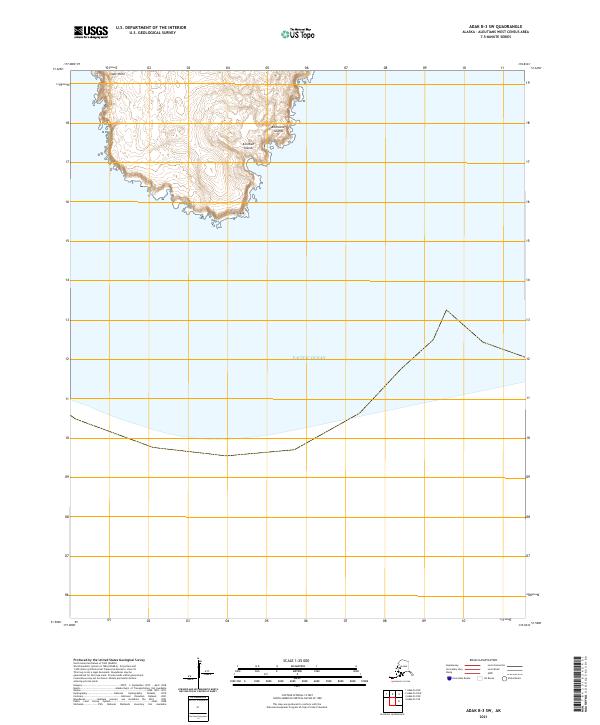
2021 · Adak B-3 SW
USGS Topo · 1:25,000
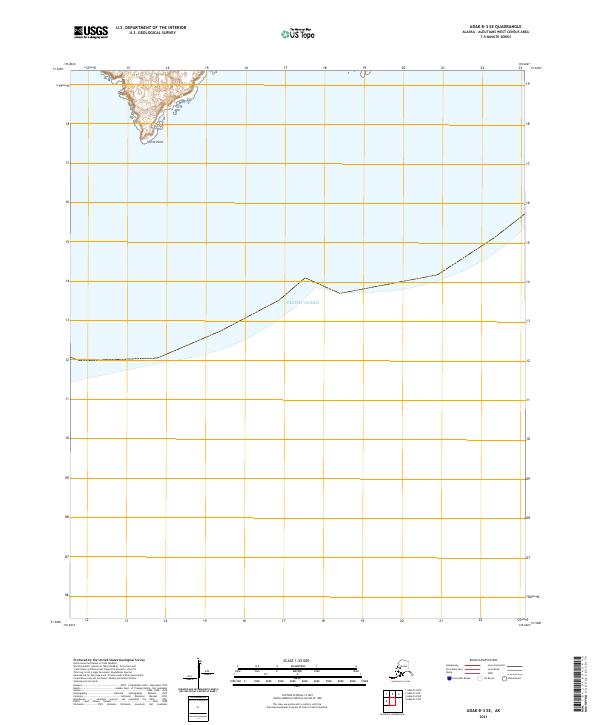
2021 · Adak B-3 SE
USGS Topo · 1:25,000
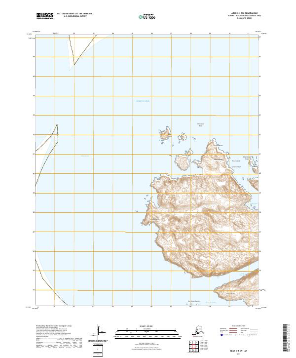
2021 · Adak C-3 SW
USGS Topo · 1:25,000
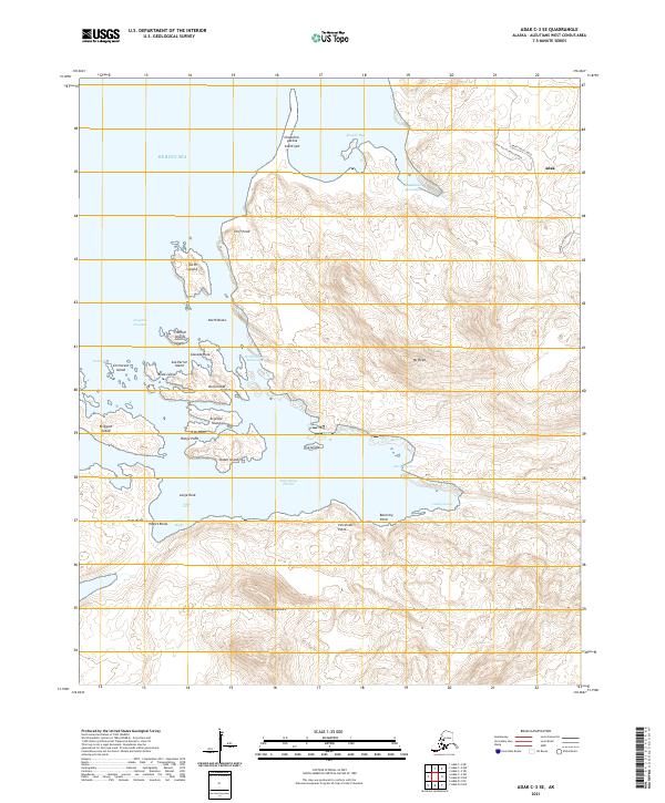
2021 · Adak C-3 SE
USGS Topo · 1:25,000
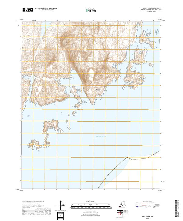
2021 · Adak B-2 NW
USGS Topo · 1:25,000