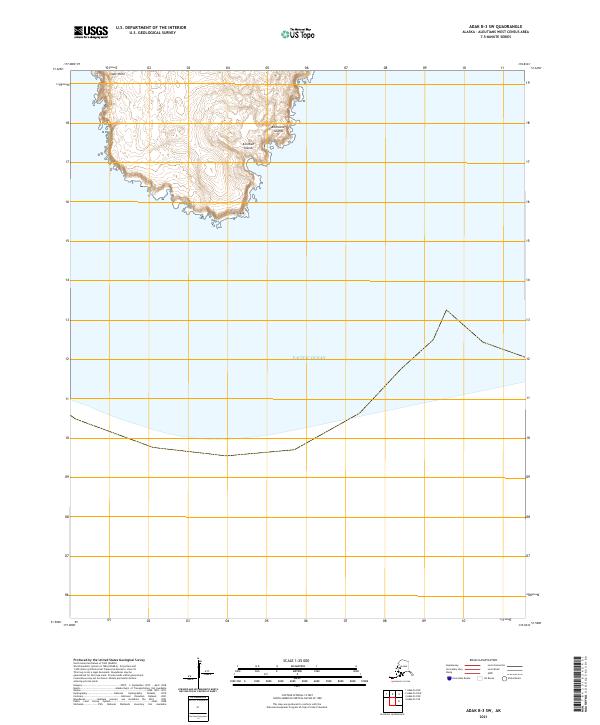
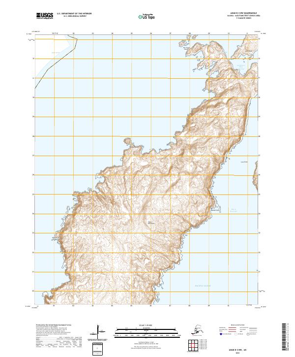
2021 Map of Adak B-3 SW
USGS Topo · Published 2021About this map
Cape Yakak defines the southern reach of this landmass within the Aleutian Islands, where the maritime boundary meets the open Pacific Ocean. This remote portion of the Andreanof Islands chain shows a landscape shaped by coastal geography, extending north to the prominent headland at Lake Point. The terrain is characterized by significant elevation changes near the coast, with the interior rising toward unnamed peaks. Mapping from the U.S. Geological Survey illustrates the isolation of this southwestern quadrangle, where no modern road infrastructure or permanent settlements are recorded, leaving the focus entirely on the natural coastal features and the cadastral markings of t99s r199w and t99s r198w.
Find a feature on this map
7 named features on this map. Tap any name to fly to it.
Don’t see what you’re looking for? This feature index may not catch every label — zoom into the map to look around manually.
Map Details
Editions of this 2021 Adak B-3 SW Map
This is the sole edition of this map. No revisions or reprints were ever made.
Other maps of this area

1951 · Adak
USGS Topo · 1:250,000

1954 · Adak
USGS Topo · 1:250,000

1957 · Adak
USGS Topo · 1:250,000

1967 · Adak
USGS Topo · 1:250,000

1983 · Adak
USGS Topo · 1:250,000
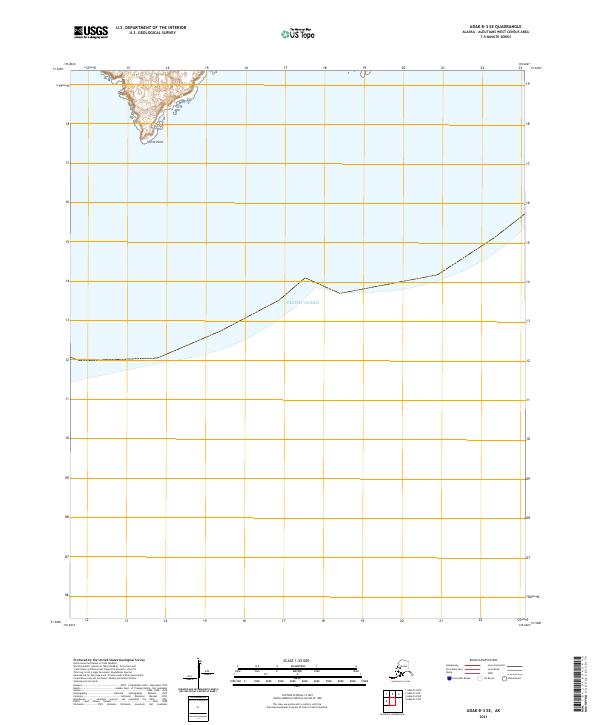
2021 · Adak B-3 SE
USGS Topo · 1:25,000
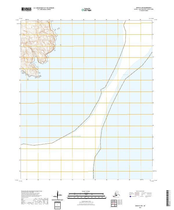
2021 · Adak B-4 NE
USGS Topo · 1:25,000
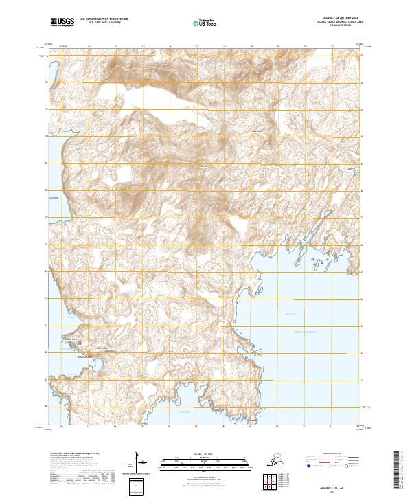
2021 · Adak B-3 NE
USGS Topo · 1:25,000
2021 · Adak B-3 NW
USGS Topo · 1:25,000