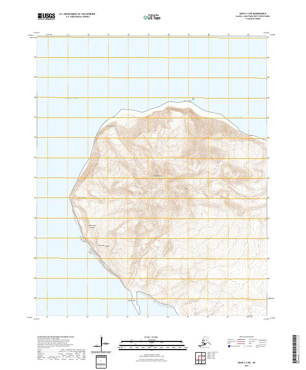
2021 Map of Adak C-3 NE
USGS Topo · Published 2021About this map
Mt Moffett dominates this portion of the Aleutian Islands, its massive volcanic profile rising sharply above the Bering Sea. Located within the Andreanof Islands chain, the terrain is characterized by steep contours and dramatic coastal points including Cape Moffett to the north and Cape Kiguga to the west. This 2021 topographic study captures the uninhabited and windswept character of the landscape where the northern slopes terminate at Acorn Rock and the sheltered waters of Andrew Bay. To the south, the land narrows toward the North Spit, illustrating the complex coastal geomorphology of this remote island environment. The map provides a precise record of the elevation and coastline at a time when these islands remain critical points of interest for geological study and maritime navigation in the North Pacific.
Find a feature on this map
14 named features on this map. Tap any name to fly to it.
Don’t see what you’re looking for? This feature index may not catch every label — zoom into the map to look around manually.
Map Details
Editions of this 2021 Adak C-3 NE Map
This is the sole edition of this map. No revisions or reprints were ever made.
Other maps of this area

1951 · Adak
USGS Topo · 1:250,000

1954 · Adak
USGS Topo · 1:250,000

1957 · Adak
USGS Topo · 1:250,000

1967 · Adak
USGS Topo · 1:250,000

1983 · Adak
USGS Topo · 1:250,000
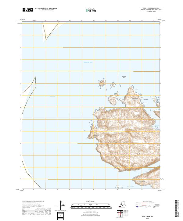
2021 · Adak C-3 SW
USGS Topo · 1:25,000
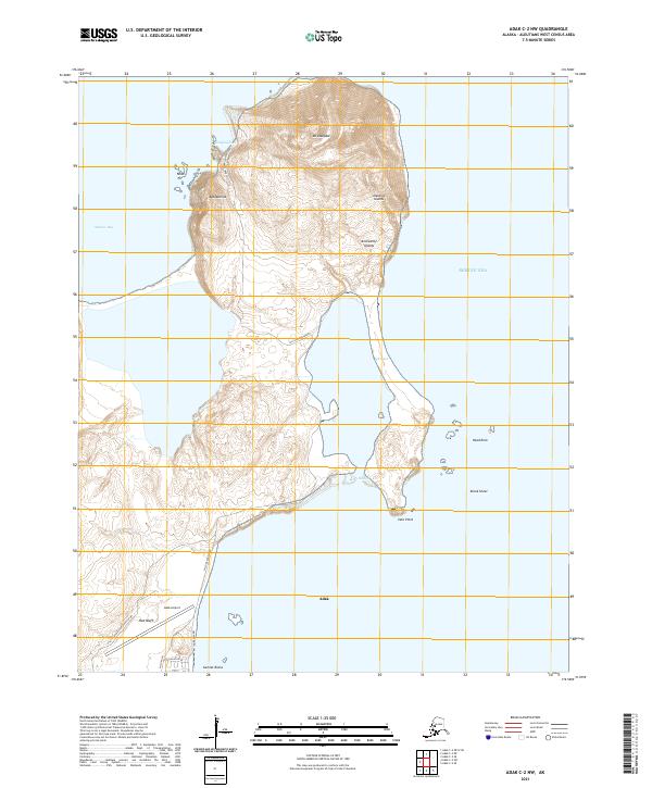
2021 · Adak C-2 NW
USGS Topo · 1:25,000
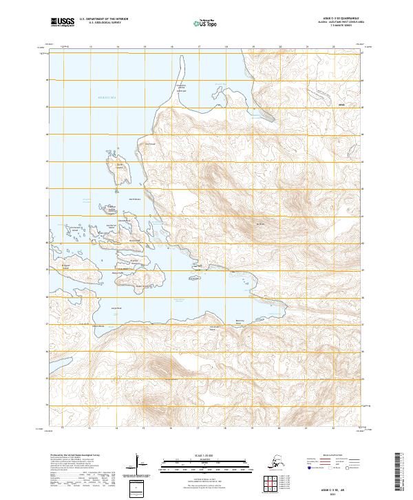
2021 · Adak C-3 SE
USGS Topo · 1:25,000
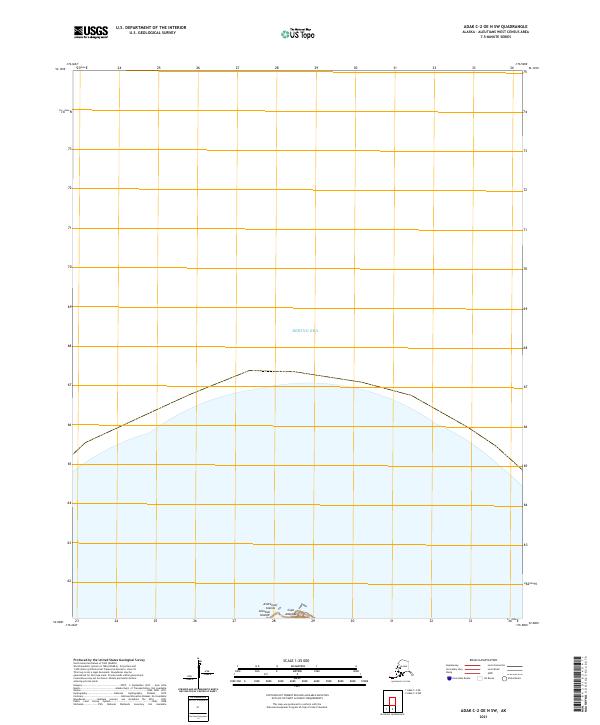
2021 · Adak C-2 OE N SW
USGS Topo · 1:25,000

2021 · Adak C-2 SW
USGS Topo · 1:25,000