2021 Map of Adak C-2 OE N SW
USGS Topo · Published 2021About this map
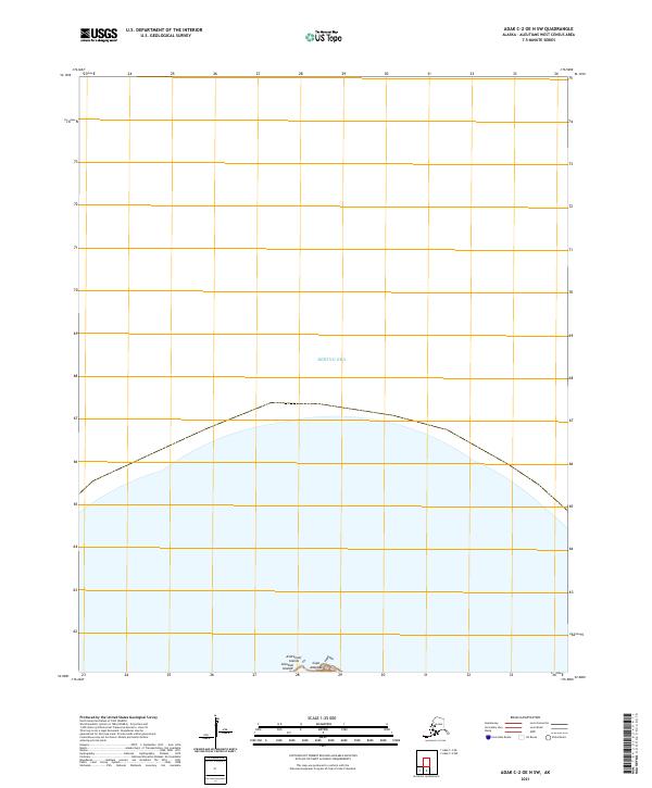
Bering Sea waters dominate this remote maritime environment in the northernmost reaches of the Aleutian Islands. The northern coast of Adak Island is represented by the landmass at Cape Adagdak, a prominent geographic feature within the Andreanof Islands chain. This contemporary topographic study delineates the land-sea interface at a high-latitude intersection where the Pacific and Arctic systems meet. Public land survey system markers for t94s r195w and t94s r194w provide a precise cadastral framework for this uninhabited volcanic terrain. The map serves as a vital record of the coastline and maritime boundaries in one of the most secluded regions of Alaska.
Find a feature on this map
6 named features on this map. Tap any name to fly to it.
Don’t see what you’re looking for? This feature index may not catch every label — zoom into the map to look around manually.
Map Details
Editions of this 2021 Adak C-2 OE N SW Map
This is the sole edition of this map. No revisions or reprints were ever made.