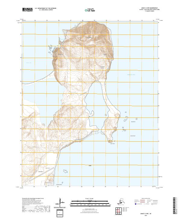
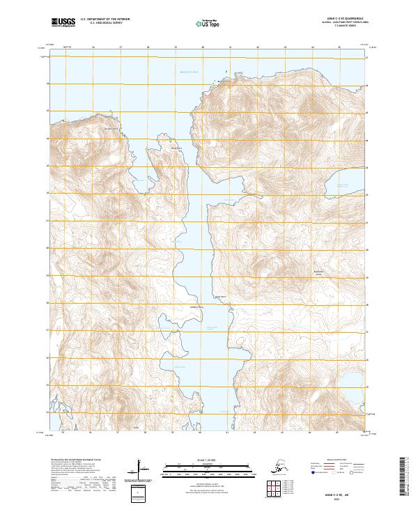
2021 Map of Adak C-2 NW
USGS Topo · Published 2021About this map
The northern tip of Adak Island is dominated by the volcanic massif of Mt Adagdak, which rises above a landscape defined by its strategic military and maritime history. In the south, the settlement of Adak serves as the gateway to the region, supported by the critical infrastructure of the Adak Airport. The map highlights a localized road network including Hillside Boulevard and the Bayshore Highway, which once connected various naval and support facilities during the island's period as a major military outpost.
Find a feature on this map
29 named features on this map. Tap any name to fly to it.
Don’t see what you’re looking for? This feature index may not catch every label — zoom into the map to look around manually.
Map Details
Editions of this 2021 Adak C-2 NW Map
This is the sole edition of this map. No revisions or reprints were ever made.
Other maps of this area

1951 · Adak
USGS Topo · 1:250,000

1954 · Adak
USGS Topo · 1:250,000

1957 · Adak
USGS Topo · 1:250,000

1967 · Adak
USGS Topo · 1:250,000

1983 · Adak
USGS Topo · 1:250,000
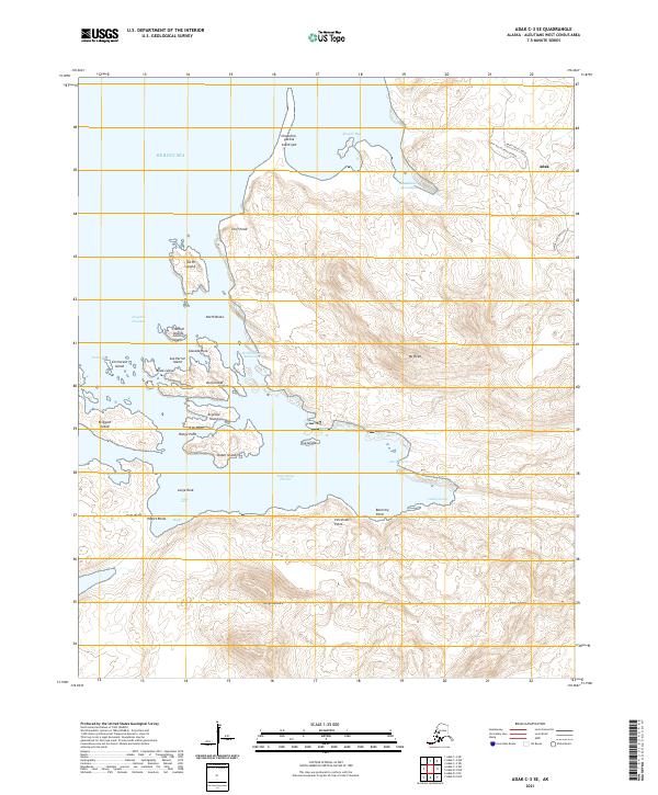
2021 · Adak C-3 SE
USGS Topo · 1:25,000
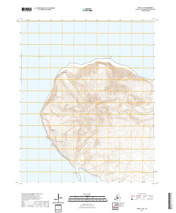
2021 · Adak C-3 NE
USGS Topo · 1:25,000
2021 · Adak C-2 OE N SW
USGS Topo · 1:25,000

2021 · Adak C-2 SW
USGS Topo · 1:25,000
2021 · Adak C-2 SE
USGS Topo · 1:25,000