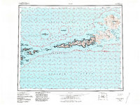
1959 Map of Atka
USGS Topo · Published 1984About this map
Korovin Volcano and Mt Kliuchef dominate the northern landscape of Atka Island, their volcanic peaks rising above the rugged coastline of the Bering Sea. This mid-century survey records the remote settlement of Atka, situated near the sheltered waters of Nazan Bay and Martin Harbor. The map highlights the extensive boundaries of the Aleutian Is Wilderness, protecting a network of islands and islets including Oglodak Island, Ikiginak Island, and the Vasilief Islands. Marine navigation is a primary focus, with detailed shoreline features such as Cape Potainikof and Cape Korovin recorded alongside numerous deep-water inlets like Korovin Bay and Bechevin Bay. The inland terrain is characterized by complex hydrology and specialized sites like the Kofovinski (Site), providing a look at this part of the Aleutian chain before modern revisions.
Find a feature on this map
94 named features on this map. Tap any name to fly to it.
Don’t see what you’re looking for? This feature index may not catch every label — zoom into the map to look around manually.
Map Details
Editions of this 1959 Atka Map
2 editions found
Other maps of this area

1951 · Seguam
USGS Topo · 1:250,000

1951 · Adak
USGS Topo · 1:250,000

1952 · Atka
USGS Topo · 1:250,000

1954 · Adak
USGS Topo · 1:250,000

1957 · Adak
USGS Topo · 1:250,000

1958 · Seguam
USGS Topo · 1:250,000

1959 · Atka
USGS Topo · 1:250,000

1967 · Adak
USGS Topo · 1:250,000

1983 · Adak
USGS Topo · 1:250,000
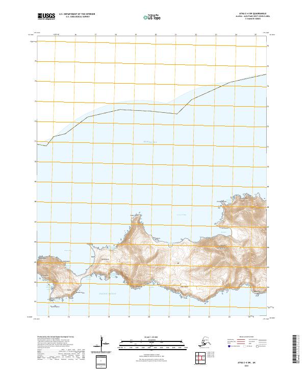
2021 · Atka C-4 SW
USGS Topo · 1:25,000