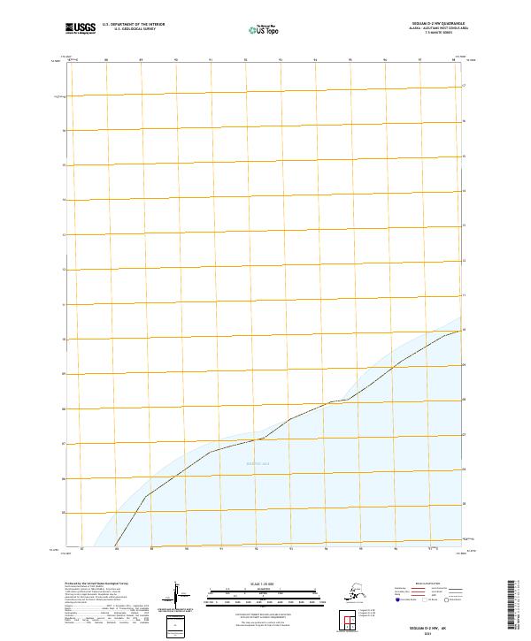
2021 Map of Seguam D-2 NW
USGS Topo · Published 2021About this map
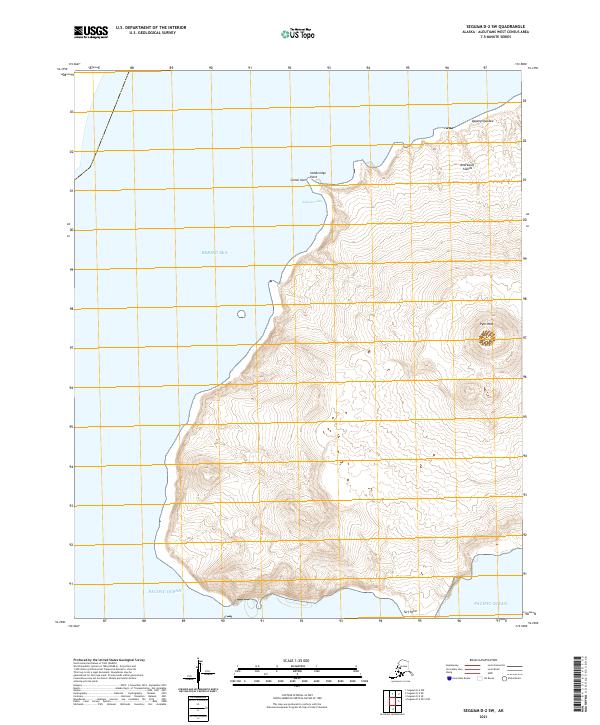
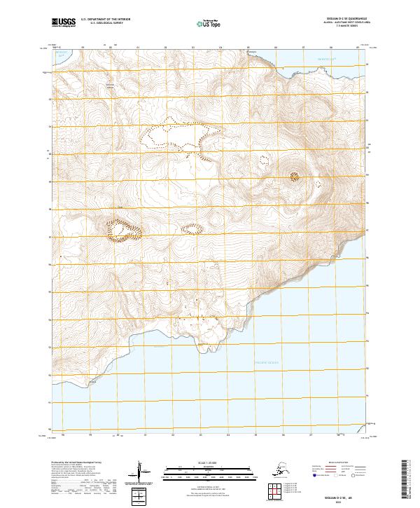
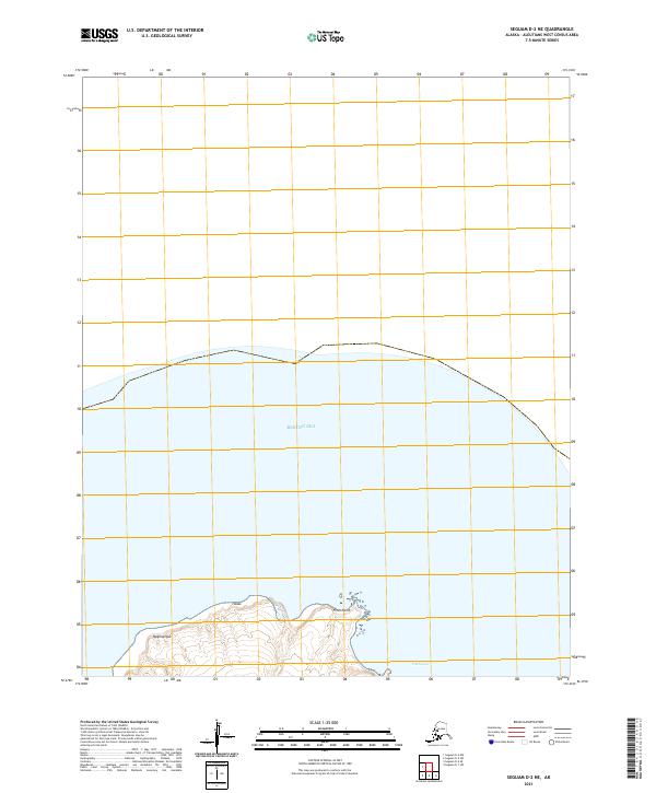
The Bering Sea dominates the lower portion of this maritime survey, where open water meets the southern coastal limits of the Aleutian chain. This 2021 edition provides a contemporary record of the shoreline and the formal Public Land Survey System divisions, including T90s R165w and T90s R164w. The map depicts a largely undeveloped coastal landscape, devoid of named settlements or inland landmarks, focusing instead on the precise intersection of maritime and terrestrial boundaries in the far North Pacific.
Find a feature on this map
3 named features on this map. Tap any name to fly to it.
Don’t see what you’re looking for? This feature index may not catch every label — zoom into the map to look around manually.
Map Details
Editions of this 2021 Seguam D-2 NW Map
This is the sole edition of this map. No revisions or reprints were ever made.