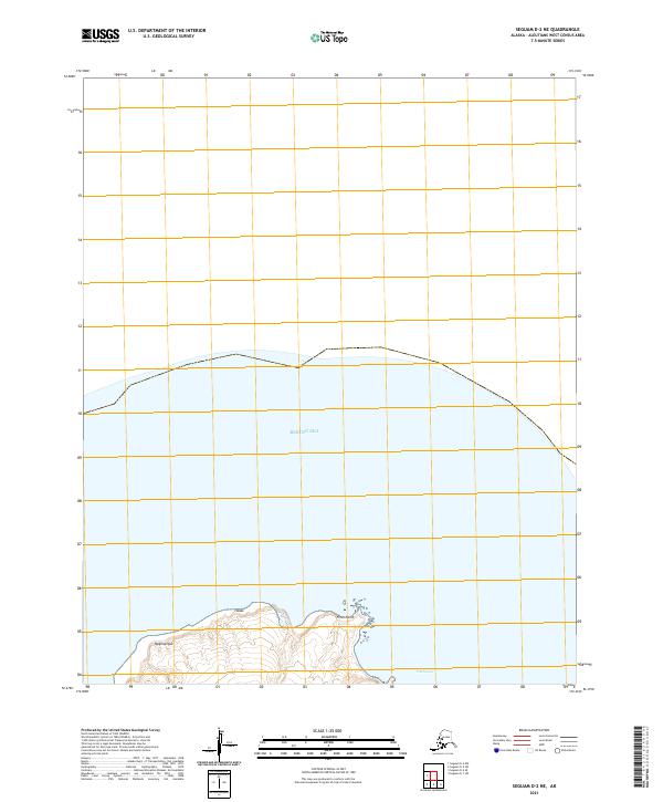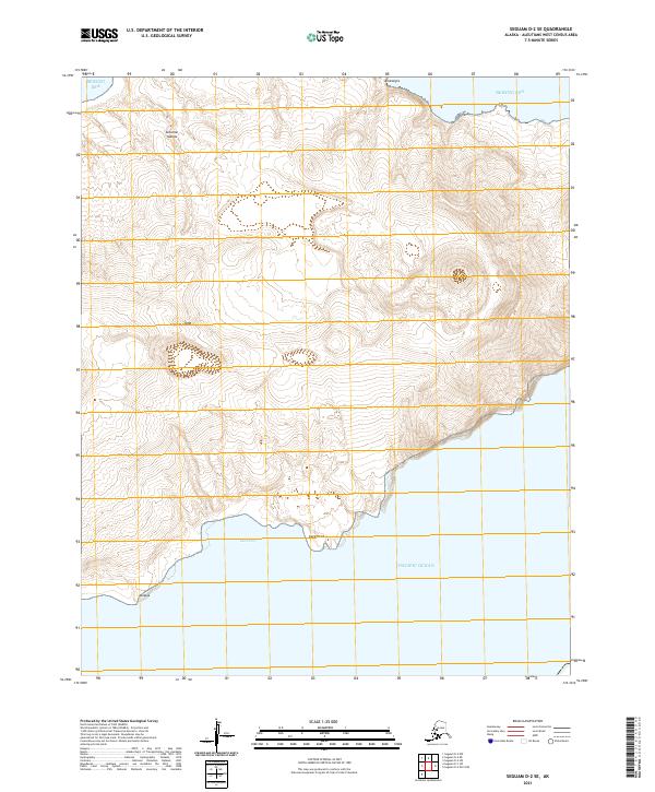
2021 Map of Seguam D-2 SE
USGS Topo · Published 2021About this map
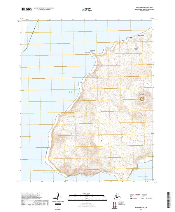
Seguam Island sits at the volcanic crossroads of the Aleutian Islands, where the turbulent Bering Sea meets the northern Pacific Ocean. This 2021 survey details the stark topographical character of the island's eastern reaches, dominated by high ridges and steep coastal drop-offs. The names recorded here, such as Atxalax and Amaxsigix, reflect the indigenous geography of this remote archipelago. Significant coastal features like Lava Point and Lava Cove on the southern shore indicate the recent geological activity that has shaped the island's perimeter. The map serves as a primary record of landforms in a region defined by its isolation and active volcanic history, providing precise contour data for the terrain between the island's central peaks and its rocky coastline.
Find a feature on this map
12 named features on this map. Tap any name to fly to it.
Don’t see what you’re looking for? This feature index may not catch every label — zoom into the map to look around manually.
Map Details
Editions of this 2021 Seguam D-2 SE Map
This is the sole edition of this map. No revisions or reprints were ever made.